
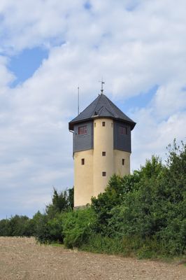
Water Tower in Bad Soden, Duits nationaal monument in Bad Soden am Taunus
Location: Bad Soden am Taunus
Address: Niederhofheimer Straße 65812 65812
GPS coordinates: 50.13367,8.49544
Latest update: April 2, 2025 07:02
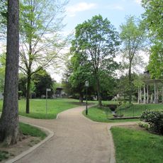
Quellenpark
966 m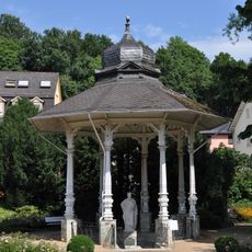
Solbrunnen
965 m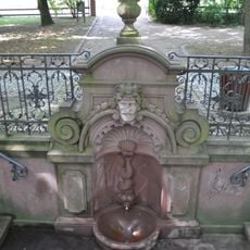
Champagnerbrunnen
780 m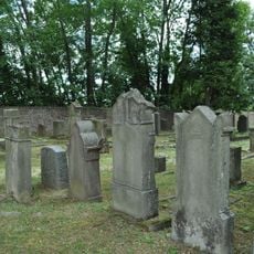
Jewish Cemetery, Bad Soden am Taunus
275 m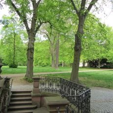
Wilhelmspark
812 m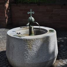
Milchbrunnen (Bad Soden)
1 km
Trinkhalle
919 m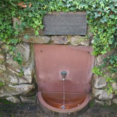
Winklerbrunnen
861 m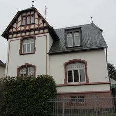
Hasselstraße 30
751 m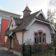
Pumpstation
1 km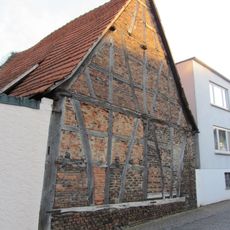
Scheune
958 m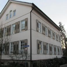
An der Trinkhalle 2
1 km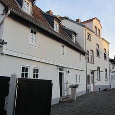
An der Trinkhalle 5
935 m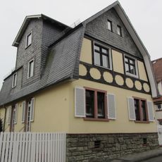
Heinrichstraße 7
687 m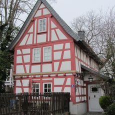
An der Trinkhalle 8
951 m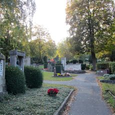
Friedhof
367 m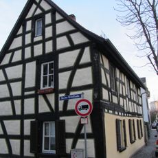
An der Trinkhalle 19
827 m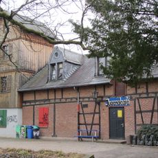
Feuerwehrhaus
868 m
Evangelisches Pfarrhaus
1 km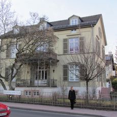
Villa Westfalia
945 m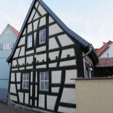
An der Trinkhalle 17
831 m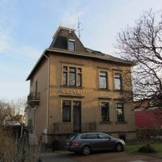
Villa Nassau
855 m
Gesamtanlage Heinrichstraße
713 m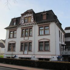
Villa Aurora
783 m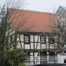
An der Trinkhalle 6
963 m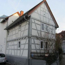
Kleinbauernhaus
986 m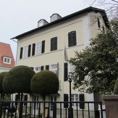
Wiesenweg
867 m
Zum Quellenpark 29
1 kmReviews
Visited this place? Tap the stars to rate it and share your experience / photos with the community! Try now! You can cancel it anytime.
Discover hidden gems everywhere you go!
From secret cafés to breathtaking viewpoints, skip the crowded tourist spots and find places that match your style. Our app makes it easy with voice search, smart filtering, route optimization, and insider tips from travelers worldwide. Download now for the complete mobile experience.

A unique approach to discovering new places❞
— Le Figaro
All the places worth exploring❞
— France Info
A tailor-made excursion in just a few clicks❞
— 20 Minutes