
Ostrau, Ortsteil von Bad Schandau
Location: Bad Schandau
Elevation above the sea: 245 m
GPS coordinates: 50.91944,14.17500
Latest update: March 6, 2025 05:13
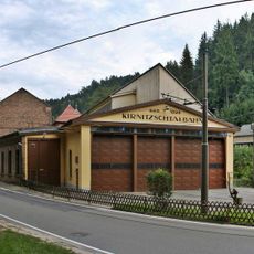
Kirnitzschtalbahn depot
663 m
Wolfsgraben 5
577 m
Elbufer 61
753 m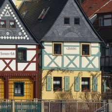
Elbufer 67 Postelwitz
772 m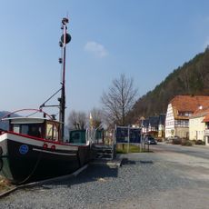
Gierseilfähre Postelwitz
841 m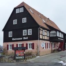
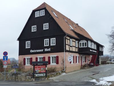
Dorfstraße 1 Ostrau
115 m
Dorfstraße 12
230 m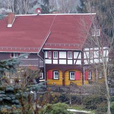
Heidehorn 4
328 m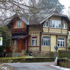
Ostrauer Ring 11 Ostrau
413 m
Ostrauer Ring 15
503 m
Ostrauer Ring 20 Ostrau
613 m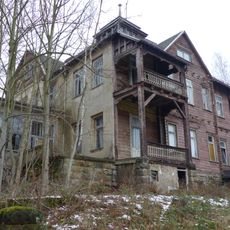
Ostrauer Ring 21 Ostrau
581 m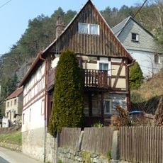
Elbufer 9
659 m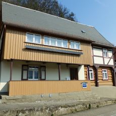
Elbufer 11
671 m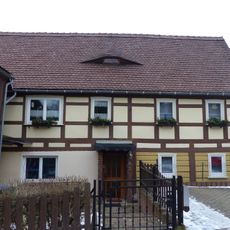
Alter Schulweg 4
214 m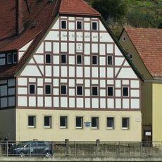
Elbufer 69 Postelwitz
758 m
Elbufer 59
750 m
Elbufer 49
734 m
Elbufer 51
733 m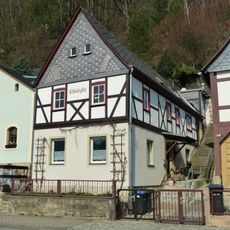
Elbufer 57 Postelwitz
745 m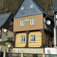
Elbufer 47
719 m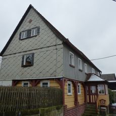
Alter Schulweg 1
189 m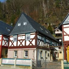
Elbufer 63 Postelwitz
767 m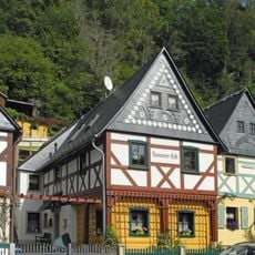
Elbufer 65
770 m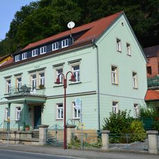
Wohnhaus in offener Bebauung Elbufer 27
679 m
Gasthaus Elbufer 25
683 m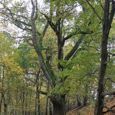
Naturdenkmal Stieleiche nordwestlich Emmabank
781 m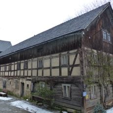
Alter Schulweg 6
232 mReviews
Visited this place? Tap the stars to rate it and share your experience / photos with the community! Try now! You can cancel it anytime.
Discover hidden gems everywhere you go!
From secret cafés to breathtaking viewpoints, skip the crowded tourist spots and find places that match your style. Our app makes it easy with voice search, smart filtering, route optimization, and insider tips from travelers worldwide. Download now for the complete mobile experience.

A unique approach to discovering new places❞
— Le Figaro
All the places worth exploring❞
— France Info
A tailor-made excursion in just a few clicks❞
— 20 Minutes