
Leupratsried, human settlement in Germany
Location: Kempten
Elevation above the sea: 713 m
GPS coordinates: 47.76288,10.34234
Latest update: March 9, 2025 06:20
Iller-Unglück
3.1 km
Artillerie-Kaserne Kempten
3.3 km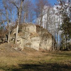
Wagegg
2.9 km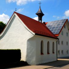
St. Magnus (Leubas)
615 m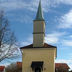
St. Magdalena (Kempten)
3.4 km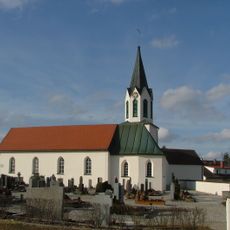
St. Ursula (Kempten)
2.1 km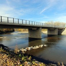
Riederaubrücke
3 km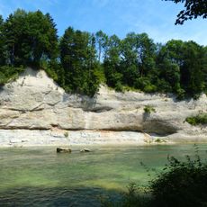
Prallhänge der Iller nördlich Kempten
2.3 km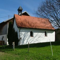
St. Marien
26 m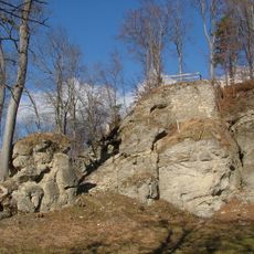
Nagelfluh-Felswand am Burgstall bei Wagegg
2.9 km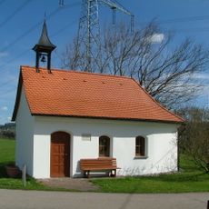
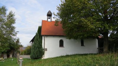
Kapelle
1.7 km
LSG IIler
3.5 km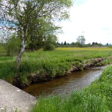
Betzigauer Moos
3.4 km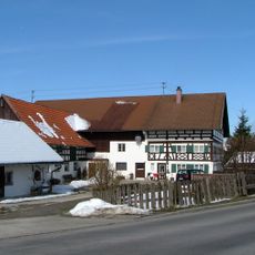
Bauernhof
3.4 km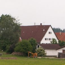
Bauernhaus
1.8 km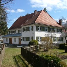
Ehemalige Papiermühle
709 m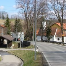
Bogenbrücke
722 m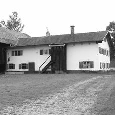
Bauernhaus
2.2 km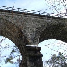
Eisenbahnbrücke
2 km
Ehemaliges Schloss
1.3 km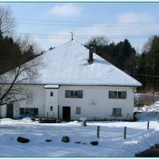
Vögelesmühle
1.6 km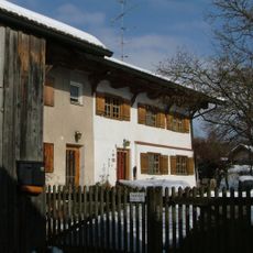
Ehemaliges Bauernhaus
2.2 km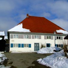
Ehemalige Mühle
2.4 km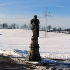
Wegweiser
869 m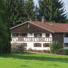
Bauernhaus
1.1 km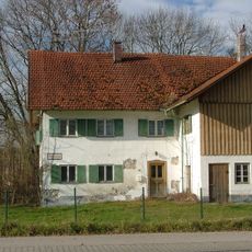
Burg Hirschdorf
3.5 km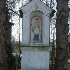
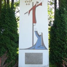
Bildstock
3.5 km
Holzfigur
3 kmReviews
Visited this place? Tap the stars to rate it and share your experience / photos with the community! Try now! You can cancel it anytime.
Discover hidden gems everywhere you go!
From secret cafés to breathtaking viewpoints, skip the crowded tourist spots and find places that match your style. Our app makes it easy with voice search, smart filtering, route optimization, and insider tips from travelers worldwide. Download now for the complete mobile experience.

A unique approach to discovering new places❞
— Le Figaro
All the places worth exploring❞
— France Info
A tailor-made excursion in just a few clicks❞
— 20 Minutes