
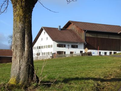
Hinterholz, human settlement in Germany
Location: Kempten
Elevation above the sea: 740 m
GPS coordinates: 47.72420,10.34600
Latest update: March 9, 2025 06:20
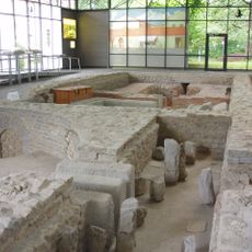
Cambodunum
1.6 km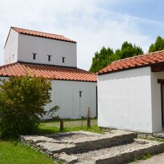
Archaeological Park Cambodunum
1.8 km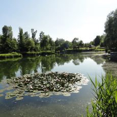
Engelhaldepark
1.3 km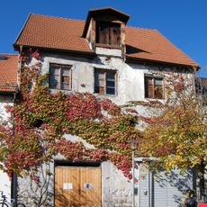
Beginenhaus Kempten
1.8 km
St. Magnus
616 m
St. Ulrich (Kempten)
1.4 km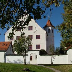
Rotschlössle
1.7 km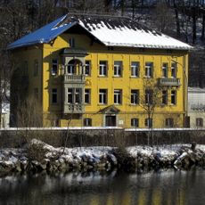
Chapuis-Villa
1.6 km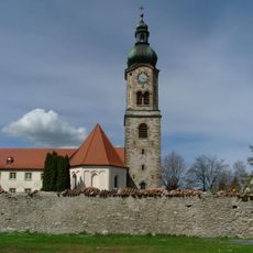
Franziskanerkloster St. Bernhardin
610 m
St.-Mang-Brücke
1.7 km
Kriegerdenkmal
627 m
Volkssternwarte Kempten
974 m
Bachtelmühle
445 m
Letten
927 m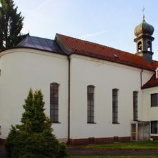
St. Anna (Lenzfried)
721 m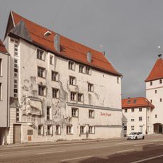
Zum Engel
1.8 km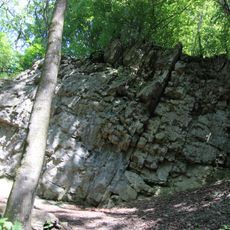
Ehemaliger Steinbruch südlich von Tannen
1.3 km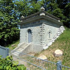
Hochbehälter Lenzfried
279 m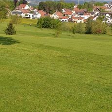
Golfpark Schloßgut Lenzfried
428 m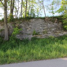
Historischer Steinbruch am Lenzfrieder Höhenrücken
108 m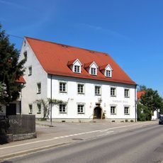
Hotel Hirsch
633 m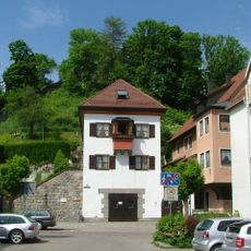
Wohnhaus
1.8 km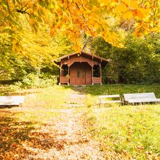
Gartenhaus Nähe Füssener Straße in Kempten (Allgäu)
1.6 km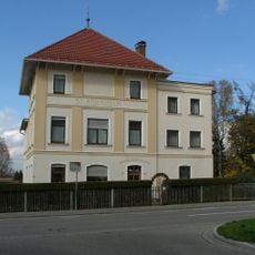
St. Annaheim
678 m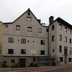
Handwerkerhaus mit Lager
1.8 km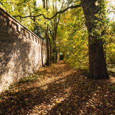
Mauer Nähe Füssener Straße in Kempten (Allgäu)
1.6 km
Kaufbeurer Straße 4
1.7 km
Holzfigur
1.5 kmReviews
Visited this place? Tap the stars to rate it and share your experience / photos with the community! Try now! You can cancel it anytime.
Discover hidden gems everywhere you go!
From secret cafés to breathtaking viewpoints, skip the crowded tourist spots and find places that match your style. Our app makes it easy with voice search, smart filtering, route optimization, and insider tips from travelers worldwide. Download now for the complete mobile experience.

A unique approach to discovering new places❞
— Le Figaro
All the places worth exploring❞
— France Info
A tailor-made excursion in just a few clicks❞
— 20 Minutes