
Bult, district in the urban district of Südstadt-Bult in Hanover, Germany
Location: Südstadt-Bult
Elevation above the sea: 57 m
Shares border with: Mitte, Südstadt, Waldhausen, Waldheim, Zoo, Oststadt, Kleefeld
GPS coordinates: 52.36360,9.77200
Latest update: April 3, 2025 20:53
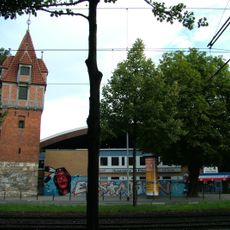
Pferdeturm
1.1 km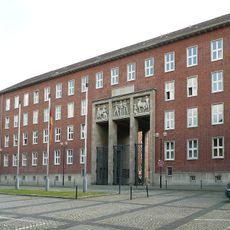
Kurt-Schumacher-Kaserne
651 m
Bois d'Hiroshima
582 m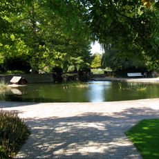
Stadtpark Hannover
1.1 km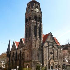
Nazarethkirche
988 m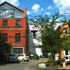
Eisfabrik
1.3 km
Hochhaus Glückauf
608 m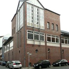
Municipal Archive Hannover
1.4 km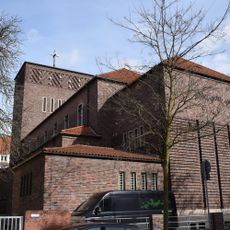
St. Heinrich
939 m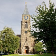
Petrikirche
1.2 km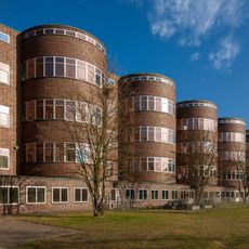
Akademiegebäude Bismarckstraße
1 km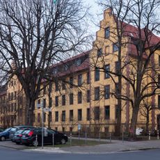
Schwesternhaus
678 m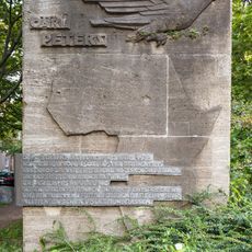
Mahnmal gegen Kolonialismus
844 m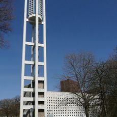
Bugenhagenkirche
1.1 km
Athanasiuskirche
1.4 km
Stift zum Heiligen Geist (Hannover)
537 m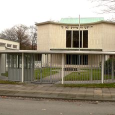
Synagoge in der Haeckelstraße
469 m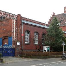
Altes Magazin
1.4 km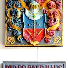
Wappenstein der Brauergilde
1.6 km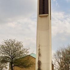
Melanchthonkirche
206 m
Heinrich-Heine-Platz
1.5 km
Robert-Koch-Platz 10
318 m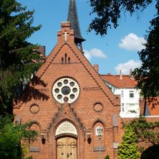
Bethlehemskirche (Hannover)
1.3 km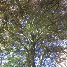
Natural monument Blutbuche im Garten der Henriettenstiftung
1.3 km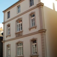
Am Bokemahle 8
1.4 km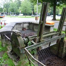
Sperrwerk am Wolfsgraben
1.1 km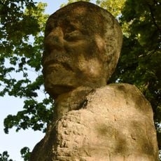
Janusz Korczak Monument
469 m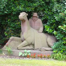
Veterinarian memorial
943 mReviews
Visited this place? Tap the stars to rate it and share your experience / photos with the community! Try now! You can cancel it anytime.
Discover hidden gems everywhere you go!
From secret cafés to breathtaking viewpoints, skip the crowded tourist spots and find places that match your style. Our app makes it easy with voice search, smart filtering, route optimization, and insider tips from travelers worldwide. Download now for the complete mobile experience.

A unique approach to discovering new places❞
— Le Figaro
All the places worth exploring❞
— France Info
A tailor-made excursion in just a few clicks❞
— 20 Minutes