
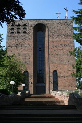
Camillus de Lellis Church, church building in Mönchengladbach, Germany
Location: Mönchengladbach
Made from material: brick
GPS coordinates: 51.17993,6.42874
Latest update: March 6, 2025 11:17
Jüdischer Friedhof
940 m
Ehemaliger Luftschutzbunker
505 m
Brucknerallee 209
961 m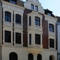
Regentenstraße 110
931 m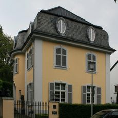
Beethovenstraße 59
858 m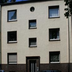
Richard-Wagner-Straße 76
935 m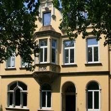
Richard-Wagner-Straße 86
931 m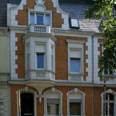
Brucknerallee 220
933 m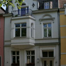
Brucknerallee 196
960 m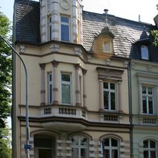
Brucknerallee 224
912 m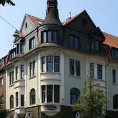
Richard-Wagner-Straße 54
960 m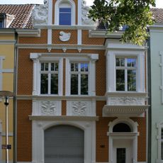
Brucknerallee 192
953 m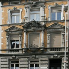
Friedrich-Ebert-Straße 243
876 m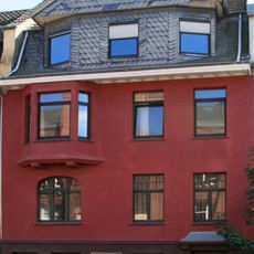
Webschulstraße 28
889 m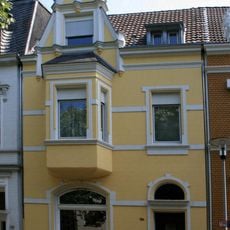
Brucknerallee 194
953 m
Bromberger Straße 16
832 m
Brucknerallee 216
943 m
Brucknerallee 186
915 m
Richard-Wagner-Straße 127
961 m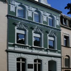
Brucknerallee 214
888 m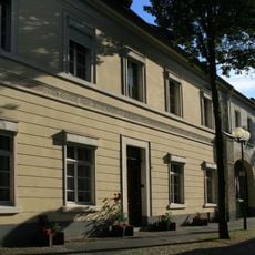
Beecker Straße 37
918 m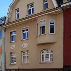
Webschulstraße 30
896 m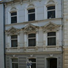
Regentenstraße 206
960 m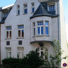
Webschulstraße 26
881 m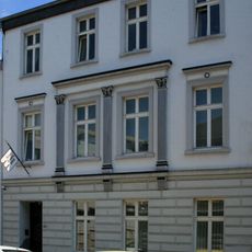
Regentenstraße 216
960 m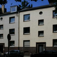
Richard-Wagner-Straße 78
939 m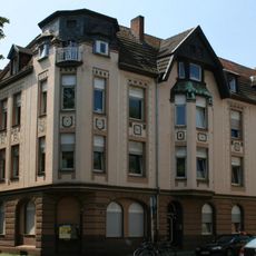
Cecilienstraße 50
940 m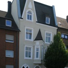
Rheydter Straße 177a
965 mReviews
Visited this place? Tap the stars to rate it and share your experience / photos with the community! Try now! You can cancel it anytime.
Discover hidden gems everywhere you go!
From secret cafés to breathtaking viewpoints, skip the crowded tourist spots and find places that match your style. Our app makes it easy with voice search, smart filtering, route optimization, and insider tips from travelers worldwide. Download now for the complete mobile experience.

A unique approach to discovering new places❞
— Le Figaro
All the places worth exploring❞
— France Info
A tailor-made excursion in just a few clicks❞
— 20 Minutes