
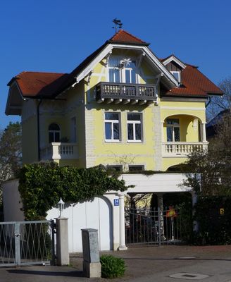
Am Stadtpark 34, cultural heritage monument D-1-62-000-321 (0) in München, Bavaria
Location: Munich
Address: Am Stadtpark 34
GPS coordinates: 48.13897,11.45092
Latest update: April 11, 2025 21:46

Munich University of Applied Sciences
296 m
Karlsgymnasium München-Pasing
311 m
Pasinger Stadtpark
159 m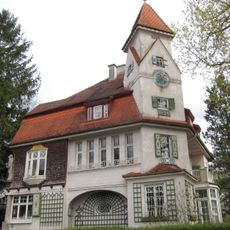
Am Stadtpark 53
293 m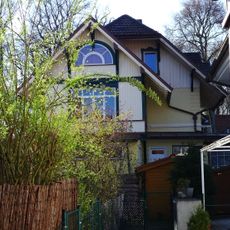
Am Stadtpark 43
142 m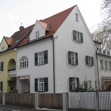
Lichtingerstraße 3/5
241 m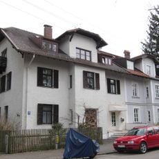
Am Stadtpark 49/51
267 m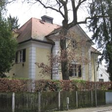
Lichtingerstraße 21
248 m
Maria-Eich-Straße 49
263 m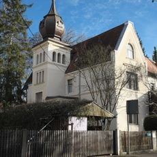
Wehnerstraße 20
236 m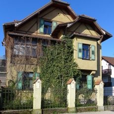
Villa
396 m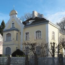
Maria-Eich-Straße 47
257 m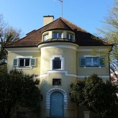
Avenariusstraße 3
335 m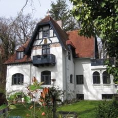
Lichtingerstraße 24
269 m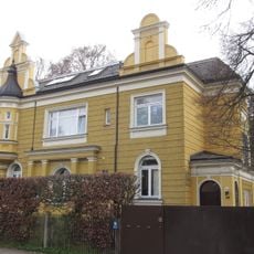
Wehnerstraße 19
220 m
Wehnerstraße 16
186 m
Bierbaumstraße 15
226 m
Wehnerstraße 11
128 m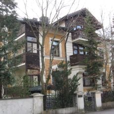
Wehnerstraße 7
100 m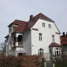
Lichtingerstraße 8
200 m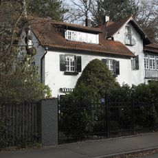
Lichtingerstraße 28
297 m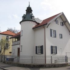
Lichtingerstraße 11
226 m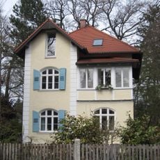
Lichtingerstraße 26
286 m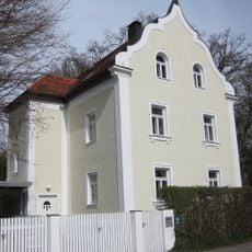
Lichtingerstraße 16
211 m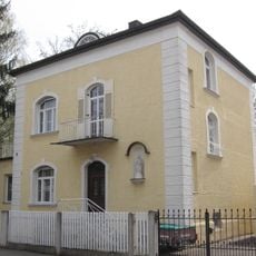
Lichtingerstraße 9
227 m
Planegger Straße 28/32
328 m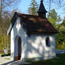
Catholic chapel
305 m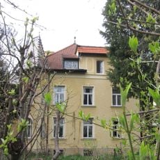
Villa
188 mReviews
Visited this place? Tap the stars to rate it and share your experience / photos with the community! Try now! You can cancel it anytime.
Discover hidden gems everywhere you go!
From secret cafés to breathtaking viewpoints, skip the crowded tourist spots and find places that match your style. Our app makes it easy with voice search, smart filtering, route optimization, and insider tips from travelers worldwide. Download now for the complete mobile experience.

A unique approach to discovering new places❞
— Le Figaro
All the places worth exploring❞
— France Info
A tailor-made excursion in just a few clicks❞
— 20 Minutes