
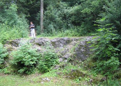
Findling östlich von Lindenberg, erratic block in Germany
Location: Lindenberg im Allgäu
Elevation above the sea: 662 m
Length: 50 m
Width: 30 m
Website: http://www.umweltatlas.bayern.de/mapapps/resources/reports/geotope/generateBericht.pdf?additionallayerfieldvalue=776R002
GPS coordinates: 47.60135,9.92250
Latest update: March 3, 2025 02:06
Burg Schreckenmanklitz
1.6 km
Rectory
2.2 km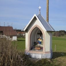
Wegkapelle
2.2 km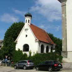
Kriegergedächtnis-Kapelle
2.2 km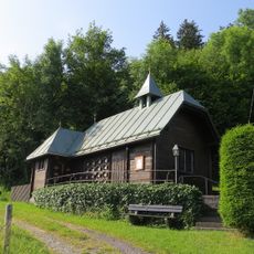
Katholische Kapelle
1.7 km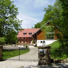
Fidenmühle, Auers 68 Röthenbach im Allgäu
993 m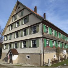
Gasthaus zum Kreuz
2.1 km
Gasthaus Auers 74 Röthenbach im Allgäu
1.6 km
Bauernhaus Auers 78 Röthenbach im Allgäu
1.5 km
Kriegerdenkmal
2.2 km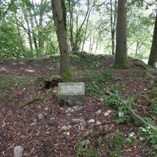
Burgstall Schreckenmanklitz
1.6 km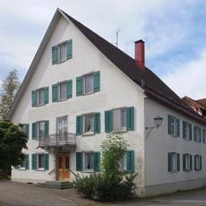
Sogenannter Neuer Kellhof
2.1 km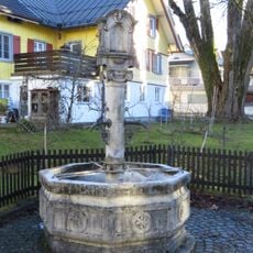
Marienbrunnen
2.2 km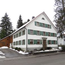
Ehemaliges Bauernhaus
2 km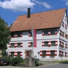
Ehemaliges Gasthaus
2.1 km
Ehemalige Posthalterei und Brauereigasthof zur Post
2.1 km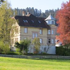
Villenartiges Wohnhaus
2.2 km
Bauernhaus
1.8 km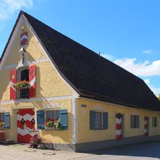
Kornhaus
2.2 km
Ehemalige Kattunfabrik
2.1 km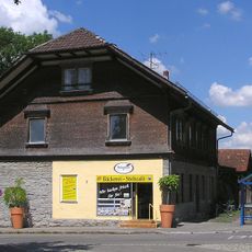
Ehemaliges Bahnhofsgebäude
2 km
Gasthaus zur Traube
2.2 km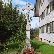
Sandsteinkruzifix
1.8 km
Ehemaliges Bauernhaus und Tabakfabrik
1.9 km
Villenartiges Wohnhaus
2.2 km
Brückenfigur hl. Johannes von Nepomuk
2.2 km
Kleinbauernhaus mit Wiederkehr
2.1 km
Bauernhaus Auers 72 Röthenbach im Allgäu
1.5 kmReviews
Visited this place? Tap the stars to rate it and share your experience / photos with the community! Try now! You can cancel it anytime.
Discover hidden gems everywhere you go!
From secret cafés to breathtaking viewpoints, skip the crowded tourist spots and find places that match your style. Our app makes it easy with voice search, smart filtering, route optimization, and insider tips from travelers worldwide. Download now for the complete mobile experience.

A unique approach to discovering new places❞
— Le Figaro
All the places worth exploring❞
— France Info
A tailor-made excursion in just a few clicks❞
— 20 Minutes