
Weikersheim, protected landscape area in Baden-Württemberg, Germany
Location: Bad Mergentheim
Location: Creglingen
Location: Niederstetten
Location: Weikersheim
Inception: 1993
GPS coordinates: 49.47700,9.92855
Latest update: March 13, 2025 02:21

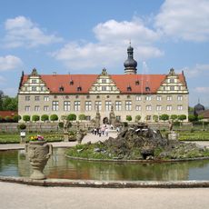
Weikersheim Palace
2.4 km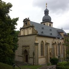
Bergkirche Laudenbach
2.4 km
Kirchenbezirk Weikersheim
1.9 km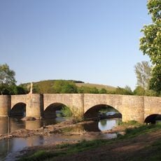
Bogenbrücke
2.2 km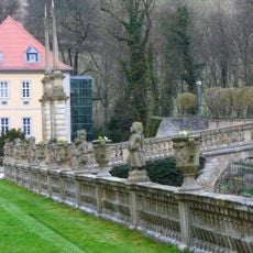
Schloss Weikersheim Gallery
2.4 km
Karlsberg
540 m
Karlsberg
467 m
Zum kostbaren Blut
2.2 km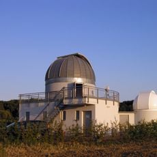
Sternwarte Weikersheim
1.3 km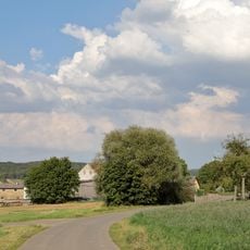
Hof Aischland
1.8 km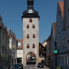
City fortifications of Weikersheim
2.2 km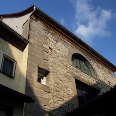
Synagogue (Weikersheim)
2.1 km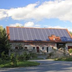
Schwabenmühle
2.3 km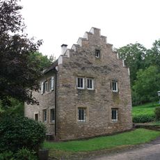
Bergkirche
2.4 km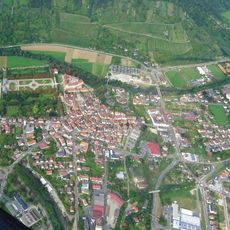
Gesamtanlage Altstadt Weikersheim
2.3 km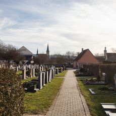
Friedhof Weikersheim
2.2 km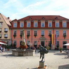
Rathaus
2.3 km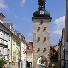
Gänsturm
2.2 km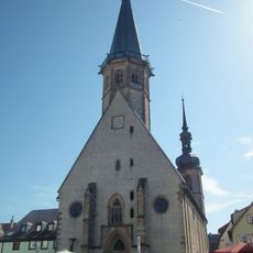
St. Georg
2.2 km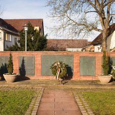
Kriegerdenkmal
2.2 km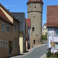
Dorfbefestigung Laudenbach
2.4 km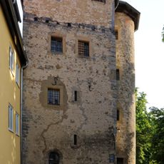
Blaukappenturm
2.3 km
Kriegerdenkmal
2.3 km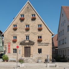
Tauberländer Dorfmuseum
2.3 km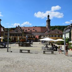
Pedestrian zones in Weikersheim
2.3 km
Weikersheim II / Stadtteil Laudenbach
1.9 km
Wasserschutzgebiet Egelsee Weikersheim
2.1 km
14 Linden Karlsberg
881 mVisited this place? Tap the stars to rate it and share your experience / photos with the community! Try now! You can cancel it anytime.
Discover hidden gems everywhere you go!
From secret cafés to breathtaking viewpoints, skip the crowded tourist spots and find places that match your style. Our app makes it easy with voice search, smart filtering, route optimization, and insider tips from travelers worldwide. Download now for the complete mobile experience.

A unique approach to discovering new places❞
— Le Figaro
All the places worth exploring❞
— France Info
A tailor-made excursion in just a few clicks❞
— 20 Minutes