
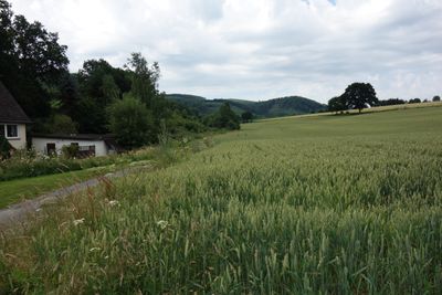
Talraum des Salmensiepen südlich Remblinghausen, former protected landscape in Meschede, North Rhine-Westphalia, Germany
Location: Meschede
Inception: 1994
GPS coordinates: 51.29484,8.30930
Latest update: March 25, 2025 03:12
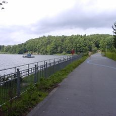
Hennetalsperre
4 km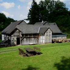
Sägemühle
894 m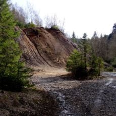
Grube Alexander
4.3 km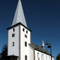
St. Jakobus d. Ä.
1.1 km
Saint Lambertus Church (Kirchrarbach)
4.7 km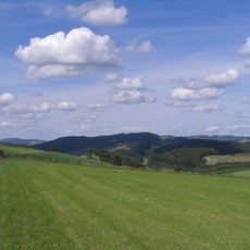
Goldener Strauch
1.7 km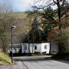
St. Lucia (Erflinghausen)
4.1 km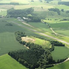
Steinbruch Schüren
4.5 km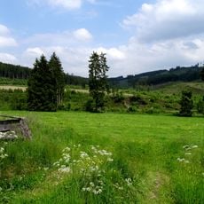
Meschede
1.4 km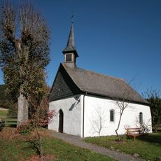
Agatha of Sicily Church (Löllinghausen)
2.4 km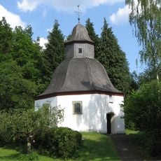
Vierzehn-Nothelfer-Kapelle
863 m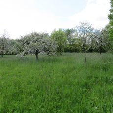
Geschützter Landschaftsbestandteil Streuobstwiese
4.2 km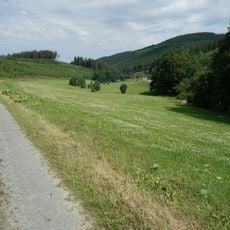
Talräume der Bieke und der Kleinen Henne bei Bonacker
3.5 km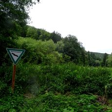
Kleine Henne / Bockenberg
1.3 km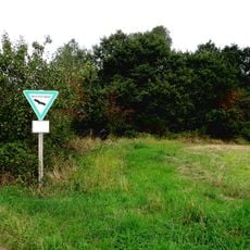
Alert
4.9 km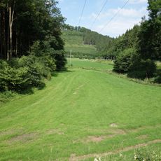
Talraum Kleine Henne südlich Höringhausen
2.8 km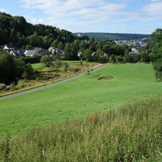
Unteres Hennetalsystem
3.3 km
Am Bastenberg
4.5 km
Gutskapelle St. Antonius
1.3 km
Bestwig
4.7 km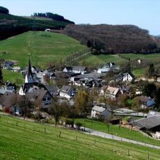
Ortsrandlage Kirchrarbach
5 km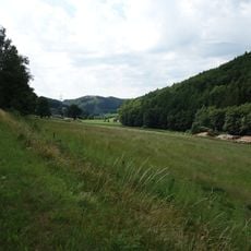
Talraum der Kleinen Henne zwischen Drasenbeck und Höringhausen
1.4 km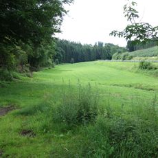
Talräume der Kleinen Henne zwischen Löttmaringhausen und Remblinghausen
2.5 km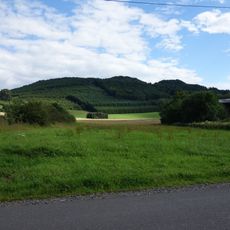
Offenland um Löllinghausen und Baldeborn
2.4 km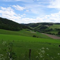
Talflanken der Kleinen Henne
3.8 km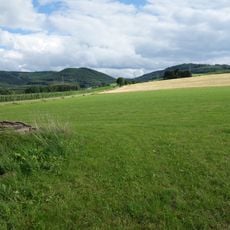
Offenland um Klause und Mosebolle
3.4 km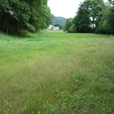
Nierbachtalsystem
3.9 km
Naturdenkmal Eine Mann Eiche
4.1 kmVisited this place? Tap the stars to rate it and share your experience / photos with the community! Try now! You can cancel it anytime.
Discover hidden gems everywhere you go!
From secret cafés to breathtaking viewpoints, skip the crowded tourist spots and find places that match your style. Our app makes it easy with voice search, smart filtering, route optimization, and insider tips from travelers worldwide. Download now for the complete mobile experience.

A unique approach to discovering new places❞
— Le Figaro
All the places worth exploring❞
— France Info
A tailor-made excursion in just a few clicks❞
— 20 Minutes