
Gundelsheim, human settlement
Location: Gundelsheim
Elevation above the sea: 155 m
GPS coordinates: 49.28333,9.16028
Latest update: May 6, 2025 09:03
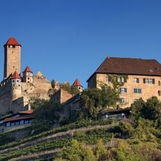
Hornberg Castle
3.6 km
Burg Guttenberg
1.9 km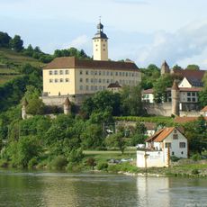
Horneck Castle
487 m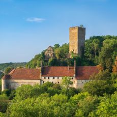
Burg Ehrenberg
2.1 km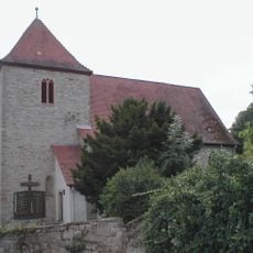
St. Hilarius Heinsheim
2.7 km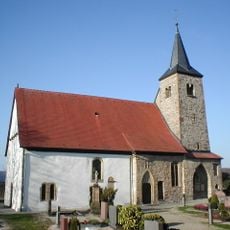
Michaelskapelle
1 km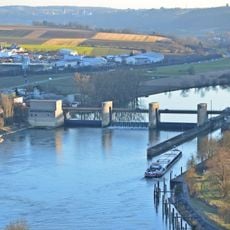
Staustufe Gundelsheim
607 m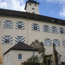
Transylvanian Museum
487 m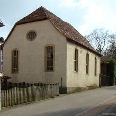
Synagogue
2.5 km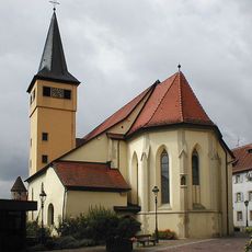
Stadtpfarrkirche St. Nikolaus
224 m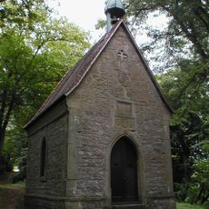
Calvarienberg (Gundelsheim)
872 m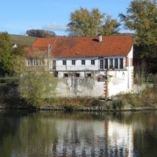
Alte Neckarmühle
333 m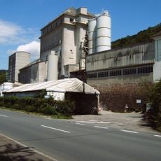
Gipswerk (Neckarzimmern)
3.4 km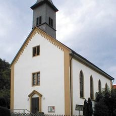
St. Johannes der Täufer
2.4 km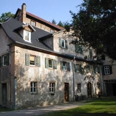
Maysacksche Mühle
2 km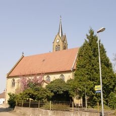
St. Dionysius
1.8 km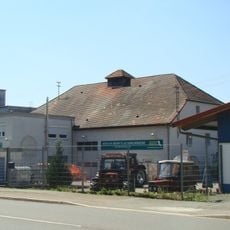
Steinbacher Mühle
3.2 km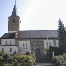
Saint Walpurga Church
2.6 km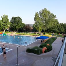
Terrassenfreibad Gundelsheim
471 m
Schlierbach-Kohlrain
3.6 km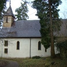
Burgkapelle Burg Guttenberg
2 km
Neidkopf
2 km
Michaelsberg - Böttinger Neckarschleife
1.4 km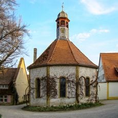
Schlosskapelle Heinsheim
2.7 km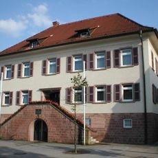
Rathaus Haßmersheim
2.2 km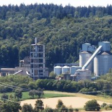
Steinbruch Haßmersheim
3.4 km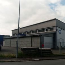
Technisches Hilfswerk Ortsverband Haßmersheim
2.5 km
Bunker 44
2.2 kmReviews
Visited this place? Tap the stars to rate it and share your experience / photos with the community! Try now! You can cancel it anytime.
Discover hidden gems everywhere you go!
From secret cafés to breathtaking viewpoints, skip the crowded tourist spots and find places that match your style. Our app makes it easy with voice search, smart filtering, route optimization, and insider tips from travelers worldwide. Download now for the complete mobile experience.

A unique approach to discovering new places❞
— Le Figaro
All the places worth exploring❞
— France Info
A tailor-made excursion in just a few clicks❞
— 20 Minutes