
Obersfeld, human settlement in Germany
Location: Eußenheim
Elevation above the sea: 225 m
Shares border with: Hundsfeld, Gauaschach, Büchold, Hundsbach, Bonnland
GPS coordinates: 50.02699,9.89684
Latest update: March 7, 2025 09:43
Bürgerzentrum
3.1 km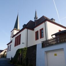
St. Andreas
1.6 km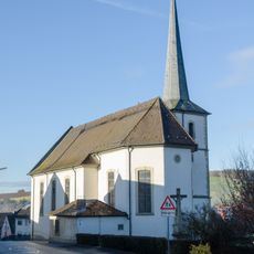
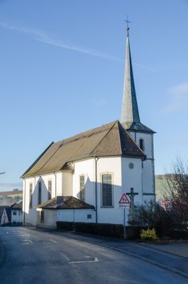
St. Petrus und Paulus (Obersfeld)
108 m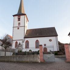
St. Nikolaus
2.8 km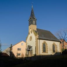
Kapelle
2.7 km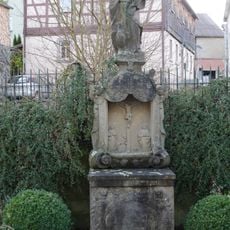
Prozessionsaltar
3.1 km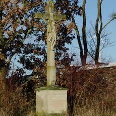
Feldkreuz
2.8 km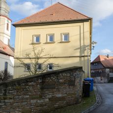
Schule
3.2 km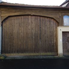
Hoftor
3.1 km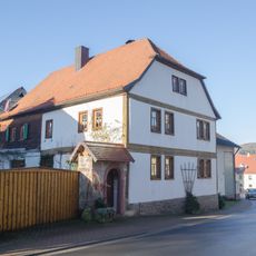
Bauernhof
1.8 km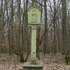
Bildstock
2.9 km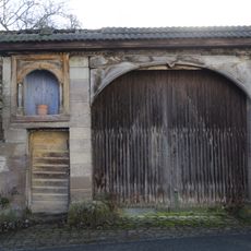
Hoftor
3.2 km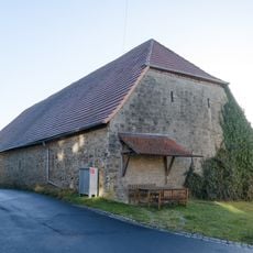
Scheune
2.7 km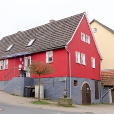
Wohnhaus
2.7 km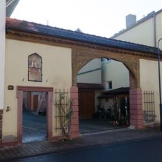
Hoftor
1.7 km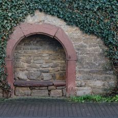
Keller
2.7 km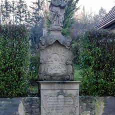
Prozessionsaltar
245 m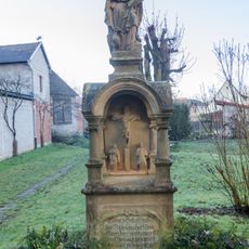
Prozessionsaltar
96 m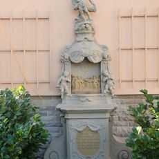
Prozessionsaltar
1.7 km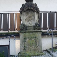
Prozessionsaltar
48 m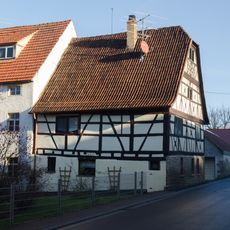
Kunstmühle
1.6 km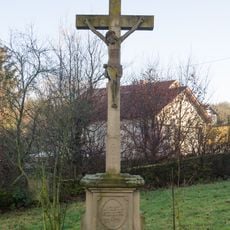
Friedhofskreuz
130 m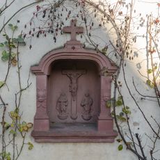
Prozessionsaltar
2.8 km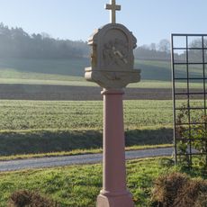
Bildstock
2.7 km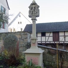
Bildstock
2.8 km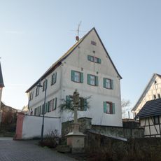
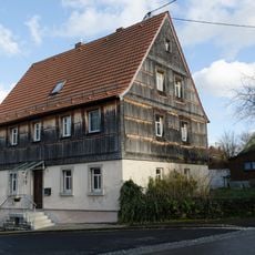
Pfarrhaus
2.8 km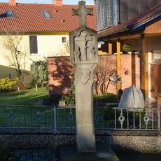
Bildstock
192 m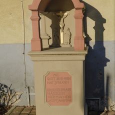
Bildstock
1.7 kmReviews
Visited this place? Tap the stars to rate it and share your experience / photos with the community! Try now! You can cancel it anytime.
Discover hidden gems everywhere you go!
From secret cafés to breathtaking viewpoints, skip the crowded tourist spots and find places that match your style. Our app makes it easy with voice search, smart filtering, route optimization, and insider tips from travelers worldwide. Download now for the complete mobile experience.

A unique approach to discovering new places❞
— Le Figaro
All the places worth exploring❞
— France Info
A tailor-made excursion in just a few clicks❞
— 20 Minutes