
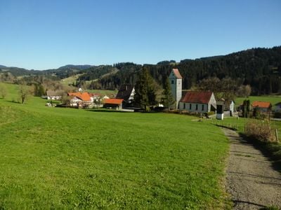
Ebratshofen, Gemarkung der Gemeinde Grünenbach
Location: Grünenbach
Elevation above the sea: 760 m
GPS coordinates: 47.61861,10.03528
Latest update: March 10, 2025 16:51
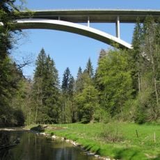
Argentobelbrücke
2.6 km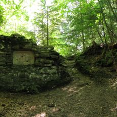
Burgstall Hohenegg
1.1 km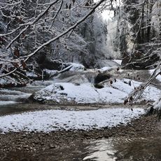
Eistobel
1.3 km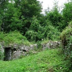
Burg Altlaubenberg
1.8 km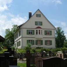
Pfarrhaus
2.2 km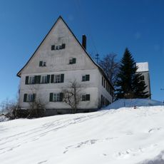
Pfarrhaus
61 m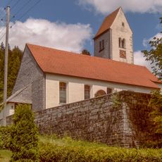
Katholische Pfarrkirche St. Elisabeth
113 m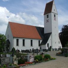
Katholische Pfarrkirche St. Otmar
2.2 km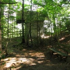
Kapelle in der Nordostecke des Burgstalls Hohenegg
1.2 km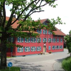
Ehemaliges Amtshaus
2.2 km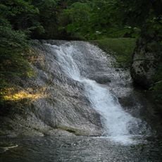
Molasseprofil Eistobel ENE von Grünenbach
1.6 km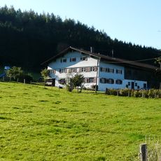
Bauernhaus
1.7 km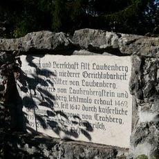
Gedenkstein
1.8 km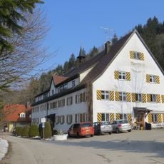
Ehemaliges Amtshaus
951 m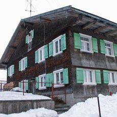
Bauernhaus
2.5 km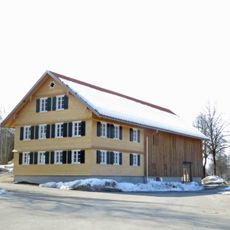
Ehemalige Schule
2.2 km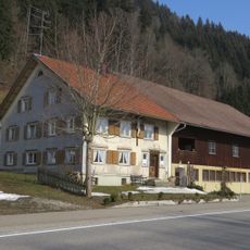
Bauernhaus
972 m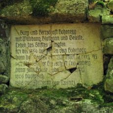
Gedenktafel auf dem Burgstall Hohenegg
1.1 km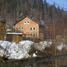
Schüttenmühle
888 m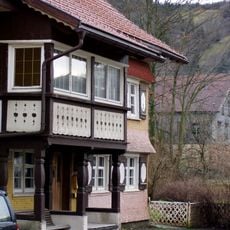
Ehemals „Gerichtsammann“
2.3 km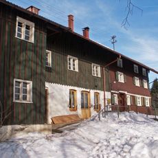
Bauernhaus
1.8 km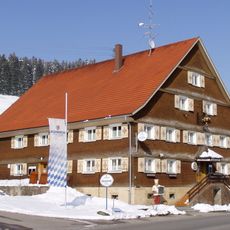
Gasthaus zum Ochsen
14 m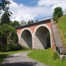
Eisenbahnbrücke
2 km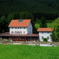
Bahnhof der Ludwig-Süd-Nord-Bahn
2.3 km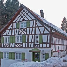
Wohnhaus
2.6 km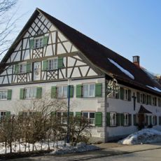
Einfirsthof
182 m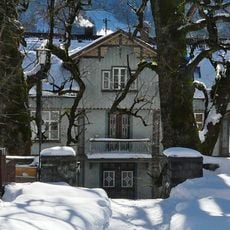
Wohnhaus
121 m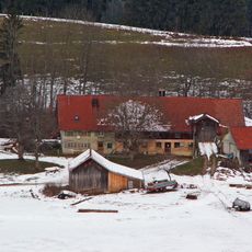
Bauernhaus
925 mReviews
Visited this place? Tap the stars to rate it and share your experience / photos with the community! Try now! You can cancel it anytime.
Discover hidden gems everywhere you go!
From secret cafés to breathtaking viewpoints, skip the crowded tourist spots and find places that match your style. Our app makes it easy with voice search, smart filtering, route optimization, and insider tips from travelers worldwide. Download now for the complete mobile experience.

A unique approach to discovering new places❞
— Le Figaro
All the places worth exploring❞
— France Info
A tailor-made excursion in just a few clicks❞
— 20 Minutes