
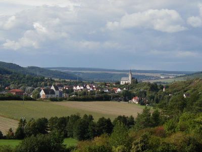
Eußenheim, Ortsteil of Eußenheim
Location: Eußenheim
Elevation above the sea: 176 m
Shares border with: Gössenheim, Aschfeld, Heßlar, Stetten, Karlstadt, Gambach
GPS coordinates: 49.98879,9.81076
Latest update: April 28, 2025 00:22
St. Bonifatius (Aschfeld)
2.1 km
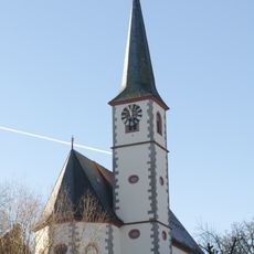
St. Petrus und Marcellinus
71 m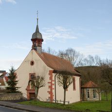
St. Veit
204 m
Kapelle
1.9 km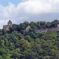
Ruine Homburg
1.6 km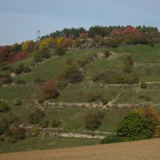
Giebel
979 m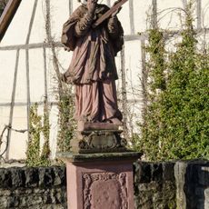
St. Nepomuk-Statue
163 m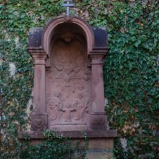
Prozessionsaltar
2.1 km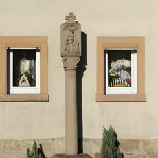
Bildstock
1.9 km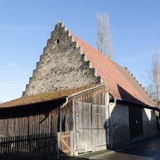
Scheune
339 m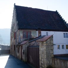
Wohnhaus
2.1 km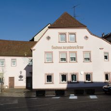
Gasthaus
134 m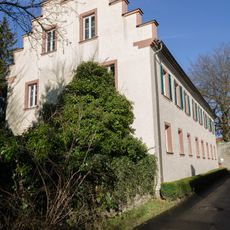
Kelter
308 m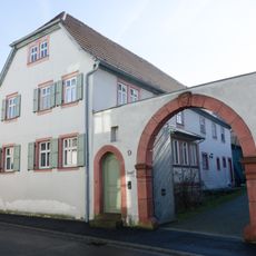
Bauernhof
250 m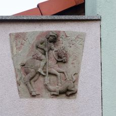
Relief
275 m
Amtskellerei
177 m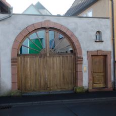
Hoftor
290 m
Gasthaus
2.1 km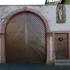
Hoftor
207 m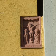
Relief
164 m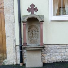
Prozessionsaltar
312 m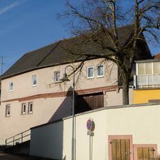
Wohnhaus
181 m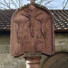
Bildstock
2.1 km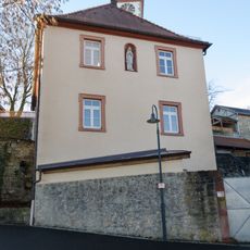
Pfarrhaus
2.1 km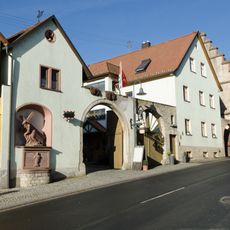
Hoftor
164 m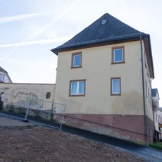
Pfarrhof
151 m
Prozessionsaltar
66 m
Trockengebiete an den Werntalhängen zwischen Karsbach und Stetten
1.5 kmReviews
Visited this place? Tap the stars to rate it and share your experience / photos with the community! Try now! You can cancel it anytime.
Discover hidden gems everywhere you go!
From secret cafés to breathtaking viewpoints, skip the crowded tourist spots and find places that match your style. Our app makes it easy with voice search, smart filtering, route optimization, and insider tips from travelers worldwide. Download now for the complete mobile experience.

A unique approach to discovering new places❞
— Le Figaro
All the places worth exploring❞
— France Info
A tailor-made excursion in just a few clicks❞
— 20 Minutes