
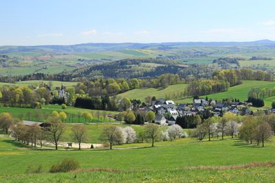
Oberes Zschopautal mit Preßnitztal, protected landscape in Sachsen, Germany
Location: Erzgebirgskreis
Inception: 1990
Elevation above the sea: 530 m
GPS coordinates: 50.66667,12.98333
Latest update: March 11, 2025 01:13

Drebacher Krokuswiesen
3.5 km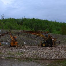
Ehrenfriedersdorf tin mine
2.7 km
Drebach Observatory
2.2 km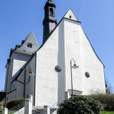
Saint Nicholas Church (Ehrenfriedersdorf)
2.6 km
Denkmalsbrunnen Ehrenfriedersdorf
2.4 km
Ritterhöhle
4 km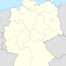
Stülpnerhöhle
4.1 km
Rittergut Venusberg
4.2 km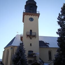
St. Annen
2.4 km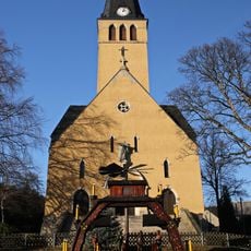
Holy Cross Church
3.6 km
Kirche Zum Heiligen Kreuz
1.5 km
Schule mit Turnhalle und seitlicher Toreinfahrt und Einfriedung Schillerstraße 26
2.5 km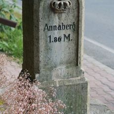
Kgl.-sächs. Postmeilenstein Herold
1.9 km
Rittergut Thum
2.1 km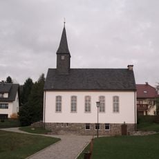
Methodistenkirche Hauptstraße 75
2.7 km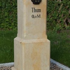
Kgl.-sächs. Postmeilenstein Jahnsbach
3 km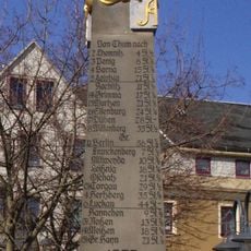
Polish-Saxon Post Milestone in Thum
2.3 km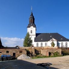
Kirche (mit Ausstattung), Kirchhof mit zwei Grabmalen und Einfriedung Venusberger Straße 12b
4.2 km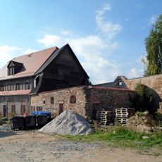
Rittergut Drebach
4.1 km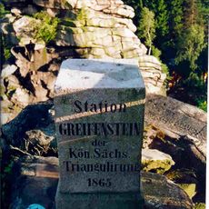
Station 129 Greifenstein
4.2 km
Kriegerdenkmal für die Gefallenen des Ersten Weltkrieges Obere Kirchstraße 11 (bei)
2.6 km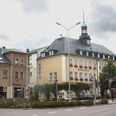
Rathaus Markt 1
2.5 km
Wohnhaus und Scheune eines Bauernhofes Greifensteinstraße 59
2.8 km
Mühlen- und Fabrikgebäude mit Nebengebäude Chemnitzer Straße 93
1.4 km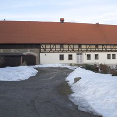
Wohnhaus mit integriertem Wirtschaftsteil Am Sportplatz 16
4.1 km
Kalkwerk Herold (Sachgesamtheit) Herold
2.3 km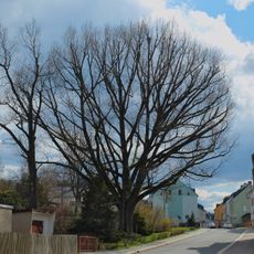
Eiche
2.2 km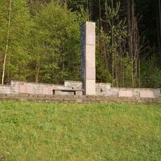
Venusberg concentration camp memorial
3.7 kmReviews
Visited this place? Tap the stars to rate it and share your experience / photos with the community! Try now! You can cancel it anytime.
Discover hidden gems everywhere you go!
From secret cafés to breathtaking viewpoints, skip the crowded tourist spots and find places that match your style. Our app makes it easy with voice search, smart filtering, route optimization, and insider tips from travelers worldwide. Download now for the complete mobile experience.

A unique approach to discovering new places❞
— Le Figaro
All the places worth exploring❞
— France Info
A tailor-made excursion in just a few clicks❞
— 20 Minutes