
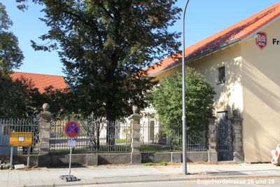
Engelhardstraße 26-28, mitte 19. Jahrhundert; Straßeneinfriedung: rustizierte Steinpfeiler mit reich geschmiedetem Tor und Gittern, um 1900
Location: Munich
Address: Engelhardstraße 26/28
GPS coordinates: 48.11169,11.53788
Latest update: March 7, 2025 01:31
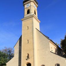
St. Achaz (München)
205 m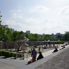
Heckenstallerpark
599 m
Denkmal
361 m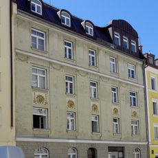
Schöttlstraße 9
299 m
Engelhardstraße 12
162 m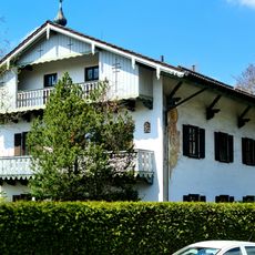
Fallstraße 11a
254 m
Villa
273 m
Fallstraße 24
320 m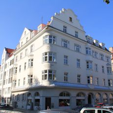
Fallstraße 26
336 m
Mietshaus
324 m
Albert-Roßhaupter-Straße 1
562 m
Albert-Roßhaupter-Straße 12a
603 m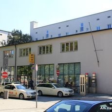
Postamt am Harras
525 m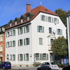
Fallstraße 11
244 m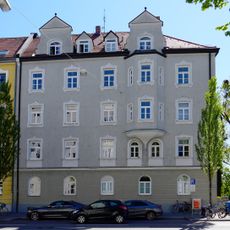
Mietshaus
493 m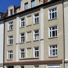
Schöttlstraße 16
259 m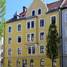
Mietshaus
521 m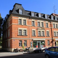
Fallstraße 9
225 m
Teil eines sachlichen Postwohngebäudes
542 m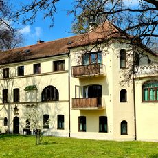
Plinganserstraße 92
210 m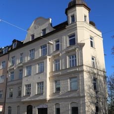
Mietshaus
450 m
Schöttlstraße 10
266 m
Schöttlstraße 12
266 m
Schöttlstraße 14
263 m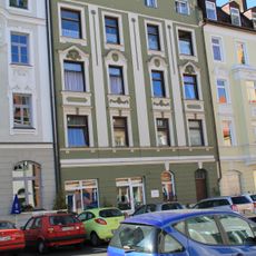
Mietshaus
241 m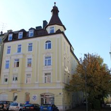
Mietshaus
239 m
Engelhardstraße 30-32-34
62 m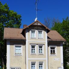
Landhaus
488 mVisited this place? Tap the stars to rate it and share your experience / photos with the community! Try now! You can cancel it anytime.
Discover hidden gems everywhere you go!
From secret cafés to breathtaking viewpoints, skip the crowded tourist spots and find places that match your style. Our app makes it easy with voice search, smart filtering, route optimization, and insider tips from travelers worldwide. Download now for the complete mobile experience.

A unique approach to discovering new places❞
— Le Figaro
All the places worth exploring❞
— France Info
A tailor-made excursion in just a few clicks❞
— 20 Minutes