
Kalvarienberg, am Westhang über dem Ort Mittenwald aufsteigend, 18. Jahrhundert, Endepunkt die Kreuzigungsgruppe des 19. Jahrhunderts (bei Schillerweg 5)
Location: Mittenwald
Address: Kalvarienberg
GPS coordinates: 47.44399,11.25620
Latest update: March 4, 2025 06:33

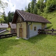
Kapelle Heiliges Grab
17 m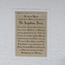
Gedächtnistafel Jais
236 m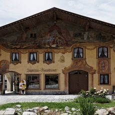
Prof.-Schreyögg-Platz 6/8
284 m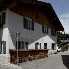
Doppelhaushälfte eines Bauernhauses
294 m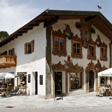
Wohn- und Geschäftshaus
296 m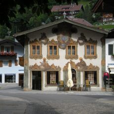
Matthias-Klotz-Straße 11
302 m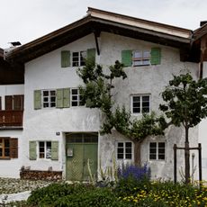
Doppelhaus
230 m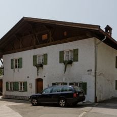
Doppelhaus
219 m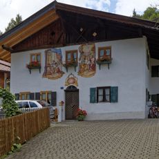
Fassade
173 m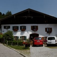
Mehrfamilienhaus
178 m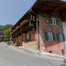
Im Gries 53
189 m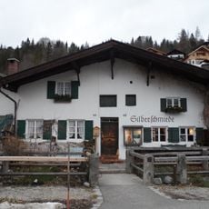
Doppelhaus
188 m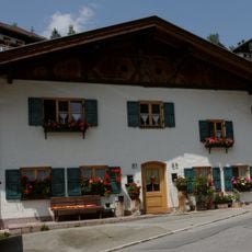
Doppelhaus
166 m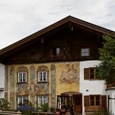
Im Gries 28
219 m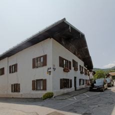
Doppelhaus
209 m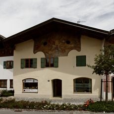
Im Gries 20
246 m
Kleinhaus
251 m
Im Gries 65
174 m
Doppelhaus
182 m
Doppelhaus
170 m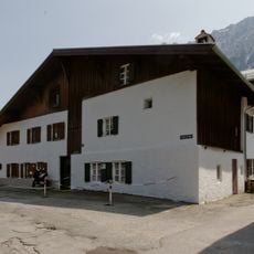
Mehrfamilienhaus
221 m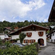
Ehemaliges Kleinbauernhaus
229 m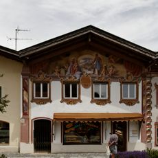
Im Gries 18
256 m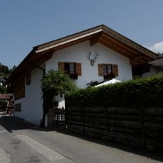
Ehemaliges Kleinbauernhaus
263 m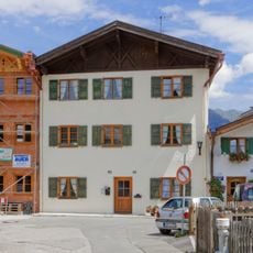
Doppelhaus
299 m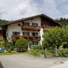
Doppelhaus
248 m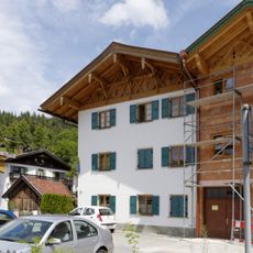
Wohnhaus
279 m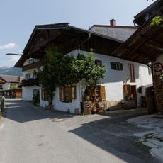
Kleinbauernhaus
237 mReviews
Visited this place? Tap the stars to rate it and share your experience / photos with the community! Try now! You can cancel it anytime.
Discover hidden gems everywhere you go!
From secret cafés to breathtaking viewpoints, skip the crowded tourist spots and find places that match your style. Our app makes it easy with voice search, smart filtering, route optimization, and insider tips from travelers worldwide. Download now for the complete mobile experience.

A unique approach to discovering new places❞
— Le Figaro
All the places worth exploring❞
— France Info
A tailor-made excursion in just a few clicks❞
— 20 Minutes