
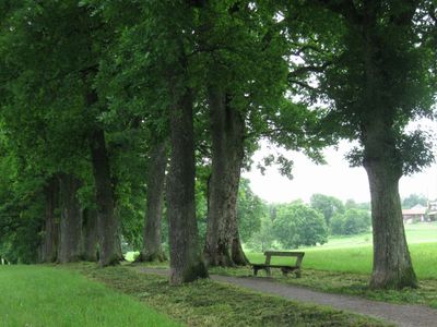
Kottmüllerallee, aus über 140 mächtigen Eichen bestehend, 1870/80 auf Anregung von Emmeram Kottmüller als Spazierweg angelegt; zwischen dem Hochangerweg und dem zur Ähndlkirche führenden Feldweg
Location: Murnau am Staffelsee
Address: Kottmüllerallee
GPS coordinates: 47.67126,11.19040
Latest update: March 6, 2025 09:20
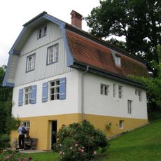
Münter-Haus
602 m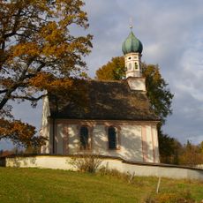
Ramsachkircherl
664 m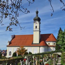
St. Nicholas Church
1.1 km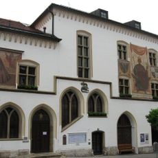
Rathaus Murnau am Staffelsee
1.1 km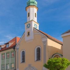
Maria-Hilf-Kirche
1.1 km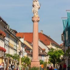
Mariensäule
1.1 km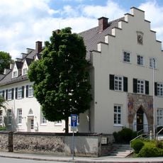
Postamt (Murnau am Staffelsee)
996 m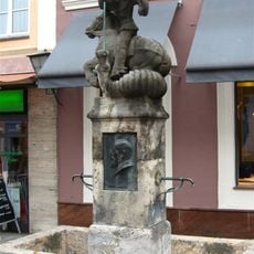
Prinzregent-Ludwig-Brunnen
1.1 km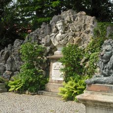
Denkmal König Ludwig II.
976 m
Schloßbergstraße 8
1.1 km
Wohn- und Geschäftshaus
945 m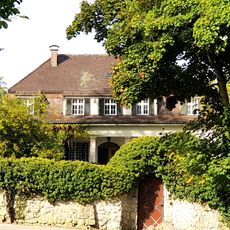
Landhaus
521 m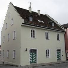
Schloßbergstraße 10
1.1 km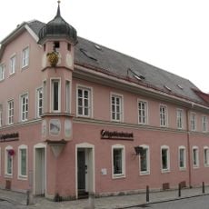
Schloßbergstraße 2
1 km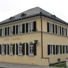
Untermarkt 56
927 m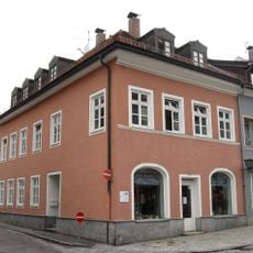
Wohn- und Geschäftshaus
972 m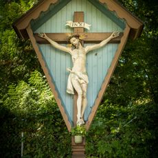
Wegkreuz
635 m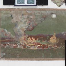
Burggraben 20
915 m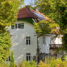
Landhaus
450 m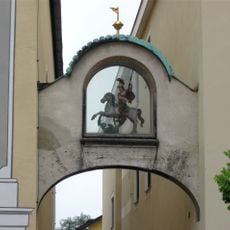
Georgs-Bogen
1.1 km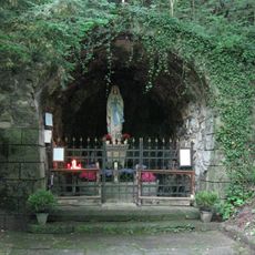
Lourdesgrotte
246 m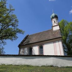
Friedhofsmauer
663 m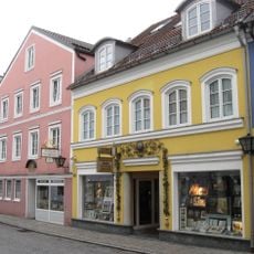
Wohn- und Geschäftshaus
1.1 km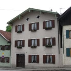
Wohnhaus
893 m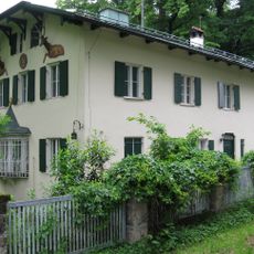
Am Kapferberg 1
945 m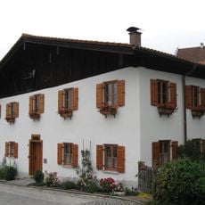
Mayr-Graz-Weg 1
1.1 km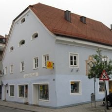
Schloßbergstraße 3
1.1 km
Gasthof Angerbräu
936 mReviews
Visited this place? Tap the stars to rate it and share your experience / photos with the community! Try now! You can cancel it anytime.
Discover hidden gems everywhere you go!
From secret cafés to breathtaking viewpoints, skip the crowded tourist spots and find places that match your style. Our app makes it easy with voice search, smart filtering, route optimization, and insider tips from travelers worldwide. Download now for the complete mobile experience.

A unique approach to discovering new places❞
— Le Figaro
All the places worth exploring❞
— France Info
A tailor-made excursion in just a few clicks❞
— 20 Minutes