
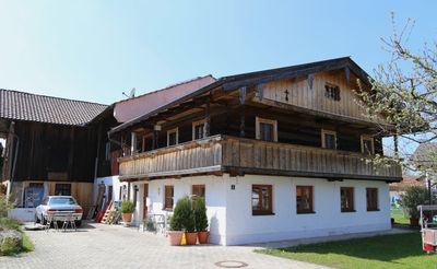
Wohnteil des ehemaligen Bauernhauses, building in Feldkirchen-Westerham, Upper Bavaria, Germany
Location: Feldkirchen-Westerham
Address: Schloßstraße 1
GPS coordinates: 47.92784,11.89848
Latest update: March 15, 2025 07:50
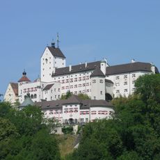
Schloss
3.5 km
Piusheim
3.4 km
St. Vigilius Kirchdorf a. Haunpold
4 km
St. Bartholomäus
1.2 km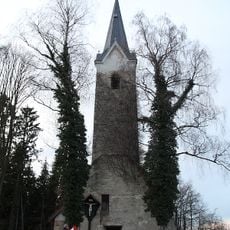
Kirchenruine St. Jakobus
2.7 km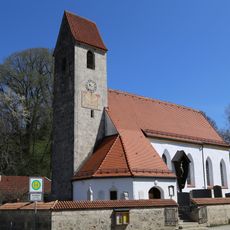
St. Vitus (Unterlaus)
2.9 km
St. Michael
41 m
St. Georg
2.9 km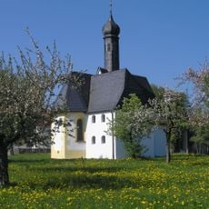
Hl. Dreifaltigkeit
972 m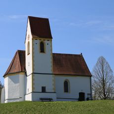
Mariä Verkündigung
2 km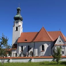
St. Jakobus
3 km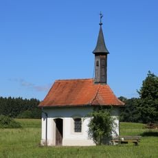
St. Vigilius
3.2 km
Kapelle
4 km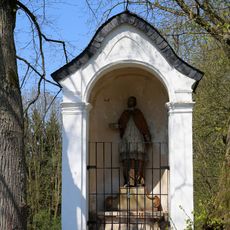
Kapellennische Großhöhenrain
203 m
Inschutzstellung des Kupferbachtales als LSG im Landkreis Bad Aibling
3.9 km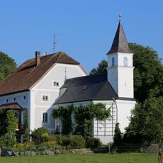
Schlössl
4 km
Haus 6
2.3 km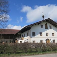
Sonnenfeldstraße 6
3.6 km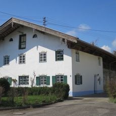
Einhaus
3.8 km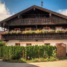
Ginsham 37
2.8 km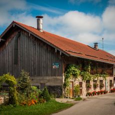
Ginsham 29
2.9 km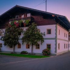
Maxhofener Straße 17
4 km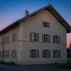
Ginshamer Straße 21
4 km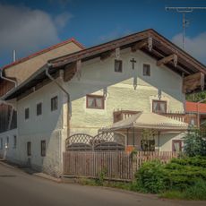
Bauernhaus
2.7 km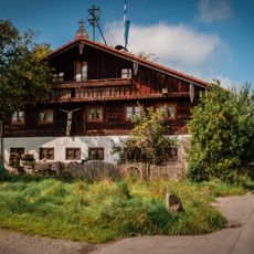
Ginsham 42
2.8 km
Ginsham 38
2.8 km
Haus 8
2.3 km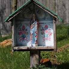
Bildstock
2.2 kmReviews
Visited this place? Tap the stars to rate it and share your experience / photos with the community! Try now! You can cancel it anytime.
Discover hidden gems everywhere you go!
From secret cafés to breathtaking viewpoints, skip the crowded tourist spots and find places that match your style. Our app makes it easy with voice search, smart filtering, route optimization, and insider tips from travelers worldwide. Download now for the complete mobile experience.

A unique approach to discovering new places❞
— Le Figaro
All the places worth exploring❞
— France Info
A tailor-made excursion in just a few clicks❞
— 20 Minutes