
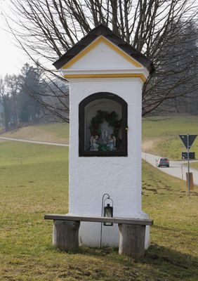
Bildstock, gemauerter Pfeiler mit Nische und Putzgliederung, Ende 18. Jh.; an der Straße nach Brandenberg
Location: Frasdorf
Address: Wirtsfeld
GPS coordinates: 47.82853,12.30712
Latest update: March 4, 2025 14:21
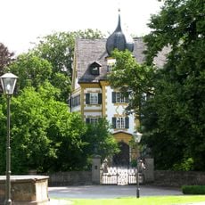
Schloss Wildenwart
359 m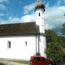
St.-Jakobus-Kirche
2.9 km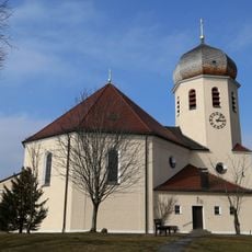
Christkönig
315 m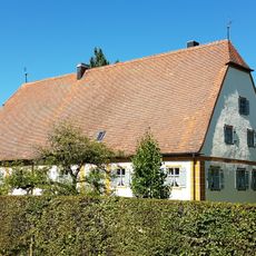
Schloss Farnach
3 km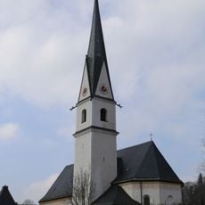
St. Margaretha (Frasdorf)
3.2 km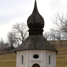
Brunnenkapelle
1.4 km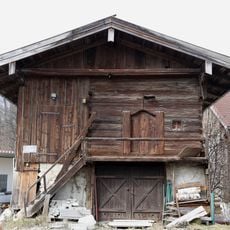
Getreidekasten
3.1 km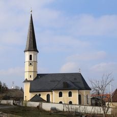
Saint Bartholomew's church, Hittenkirchen
2.9 km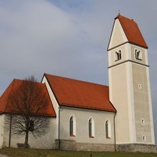
St. Florian
1.4 km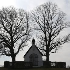
Kriegergedächtsniskapelle
2.7 km
Hofkapelle
3 km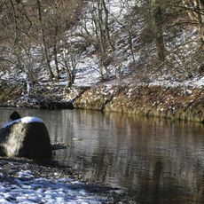
Inschutznahme des Prientales als LSG
1.3 km
Ludwigstraße 52
830 m
Hl. Blut
2.5 km
Hofbrunnen
284 m
Moosweg 2
2.6 km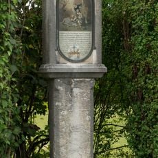
Bildstock
2.6 km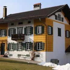
Schlossgärtnerei
244 m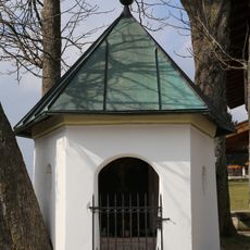
Kapelle
2.5 km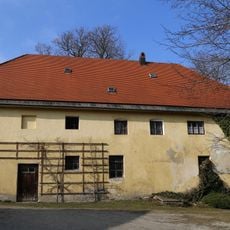
Ehem. Marstall
337 m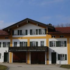
Schlossökonomie
281 m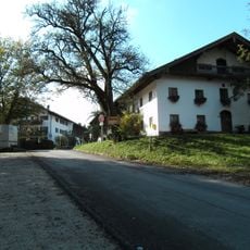
Bauernhaus
2.9 km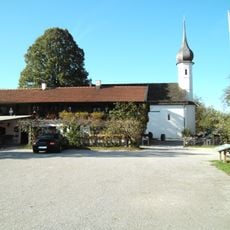
Ehem. Bauernhaus
2.8 km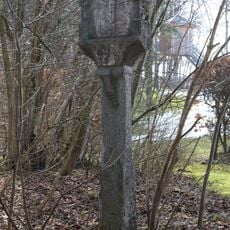
Martersäule
282 m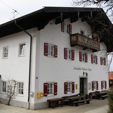
Gasthaus
2.5 km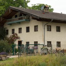
Bauernhaus
621 m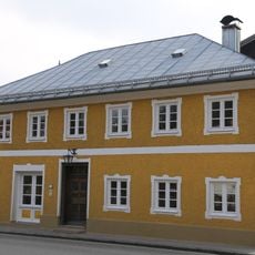
Wohnhaus
3.2 km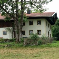
Aich 7
809 mVisited this place? Tap the stars to rate it and share your experience / photos with the community! Try now! You can cancel it anytime.
Discover hidden gems everywhere you go!
From secret cafés to breathtaking viewpoints, skip the crowded tourist spots and find places that match your style. Our app makes it easy with voice search, smart filtering, route optimization, and insider tips from travelers worldwide. Download now for the complete mobile experience.

A unique approach to discovering new places❞
— Le Figaro
All the places worth exploring❞
— France Info
A tailor-made excursion in just a few clicks❞
— 20 Minutes