
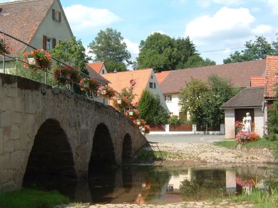
Brücke über die Aurach, 1749
Location: Kammerstein
Address: Brücke
GPS coordinates: 49.27522,10.92905
Latest update: March 6, 2025 12:34
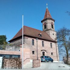
St. George (Kammerstein)
3.8 km
St. Georg
4.2 km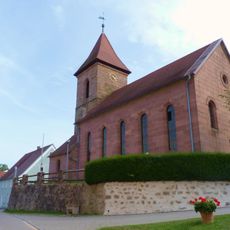
Burg Bertholdsdorf
4.2 km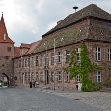
Rathaus Abenberg
4.3 km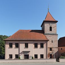
St. Bartholomäus
118 m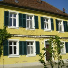
Pfarrhaus (Bertholdsdorf)
4.2 km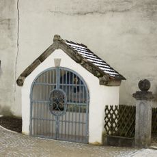
Kapelle (Kettersbach)
3.1 km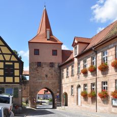
Oberes Tor (Abenberg)
4.3 km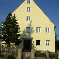
Pfarrhaus
3.6 km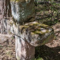
Steinkreuz im Hirtenbachtal bei Ebersbach
1.8 km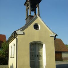
Kapelle Leipersloh
3.3 km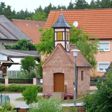
Katholische Ortskapelle Bechhofen
4.1 km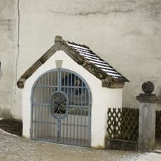
Kapelle Kettersbach
3.1 km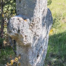
Steinkreuz bei Brunn
3.7 km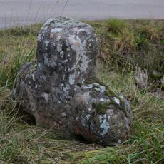
Steinkreuz bei Ebersbach
2.4 km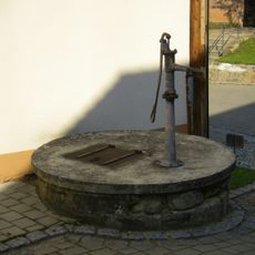
Ehemaliger Schlossbrunnen, sogenannter Schulbrunnen
4.2 km
Gusseisenkruzifixus
3.4 km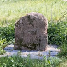
Kreuzstein bei Abenberg
4.1 km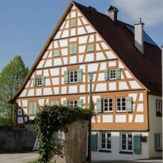
Höllgasse 3 (Abenberg)
4.3 km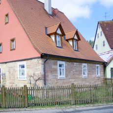
Wohnstallhaus
3.3 km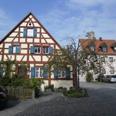
Burgsteig 1
4.3 km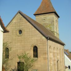
St. Georg
4.2 km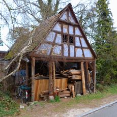
Wohnstallhaus
4.1 km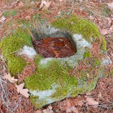
Sogenannter Hirschtrog
4.1 km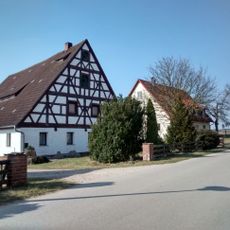
Bauernhaus
2.6 km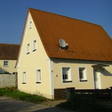
Bürgerzentrum, ehemaliges Gemeindehäuschen
3.4 km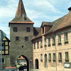
Oberes Tor
4.3 km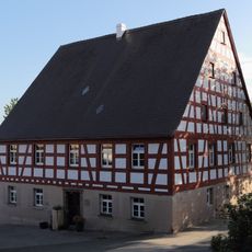
Dorfstraße 21
3.7 kmReviews
Visited this place? Tap the stars to rate it and share your experience / photos with the community! Try now! You can cancel it anytime.
Discover hidden gems everywhere you go!
From secret cafés to breathtaking viewpoints, skip the crowded tourist spots and find places that match your style. Our app makes it easy with voice search, smart filtering, route optimization, and insider tips from travelers worldwide. Download now for the complete mobile experience.

A unique approach to discovering new places❞
— Le Figaro
All the places worth exploring❞
— France Info
A tailor-made excursion in just a few clicks❞
— 20 Minutes