
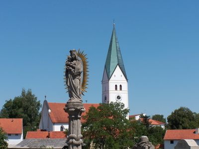
Mariensäule, zweite Hälfte 19. Jahrhundert, figürliches Zentrum des Kriegerdenkmals, Steinblock mit Inschrift als Figurensockel und flankierende Steintafeln, nach 1945
Location: Obersüßbach
Address: Nähe Hauptstraße 26, beim Kriegerdenkmal.
GPS coordinates: 48.61179,11.94455
Latest update: April 29, 2025 14:35
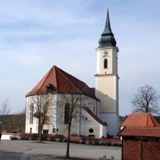
St. Erhard (Rainertshausen)
3.4 km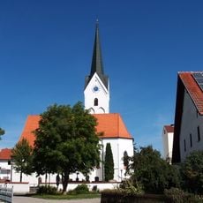
Mariä Opferung
4.4 km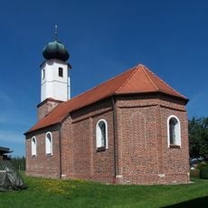
St. Korona
4.7 km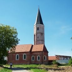
St. Blasius (Eichstätt)
3.8 km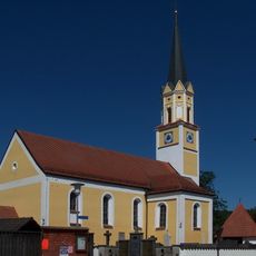
St. Michael
4.6 km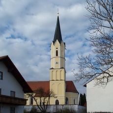
St. Peter und Paul
3.2 km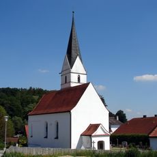
Sankt Johannes (Niedersüßbach)
2 km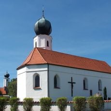
St. Bartholomäus
4.7 km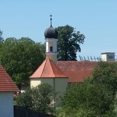
Sankt Ulrich
3.1 km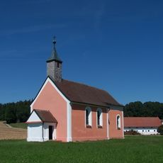
Kirche Sankt Nikolaus Geberskirchen
3.3 km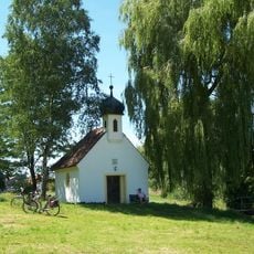
Erhardsbrunnkapelle Rainertshausen
3.4 km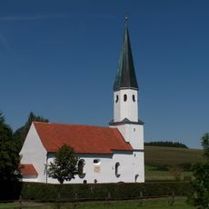
St. Stephan und Laurentius
3.1 km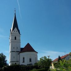
Sankt Johannes
2 km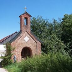
Kapelle zur Heilige Familie
2 km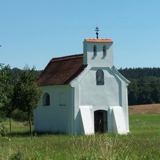
Katholische Kirche Johannes Nepomuk
4.1 km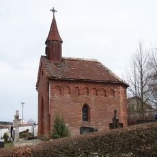
Friedhofskapelle
3.7 km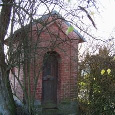
Wegkapelle
541 m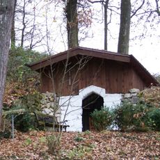
Waldkapelle Langenwies
2.2 km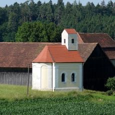
Katholische Kapelle Maria Hilf
5 km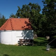
Wegkapelle Holzhausen
5 km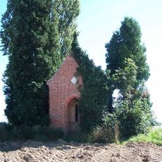
Wegkapelle
1.4 km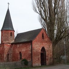
Algram-Kapelle
3.6 km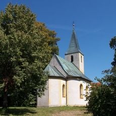
Mariä Himmelfahrt
1.3 km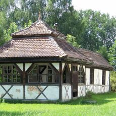
Kegelbahnbau der ehemaligen Bahnhofsrestauration
3.8 km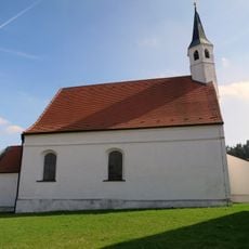
St. Katharina
4.5 km
Brauereigasthof Weinzierl
3.6 km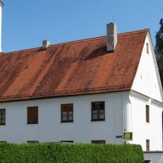
Pfarrhof mit Stadel
3.6 km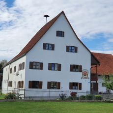
Ehemaliger Amtshof
4.3 kmReviews
Visited this place? Tap the stars to rate it and share your experience / photos with the community! Try now! You can cancel it anytime.
Discover hidden gems everywhere you go!
From secret cafés to breathtaking viewpoints, skip the crowded tourist spots and find places that match your style. Our app makes it easy with voice search, smart filtering, route optimization, and insider tips from travelers worldwide. Download now for the complete mobile experience.

A unique approach to discovering new places❞
— Le Figaro
All the places worth exploring❞
— France Info
A tailor-made excursion in just a few clicks❞
— 20 Minutes