
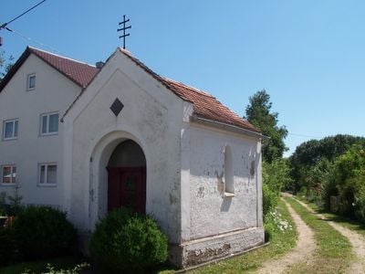
Kapelle, building in Riekofen, Upper Palatinate, Germany
Location: Riekofen
Address: Nähe Hauptstraße
GPS coordinates: 48.91878,12.31128
Latest update: March 2, 2025 23:52
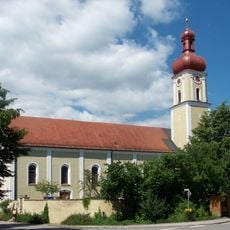
St. Johannes
2.2 km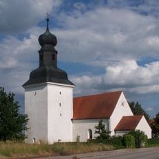
St. Stephanus
2.5 km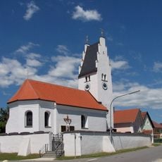
St. Jakob der Ältere
1.8 km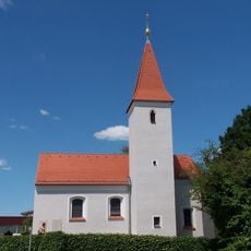
St. Stephan (Tiefbrunn)
4.1 km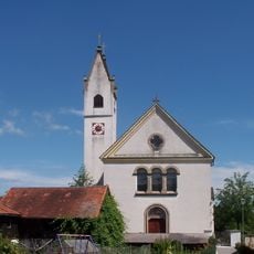
St. Margareta
197 m
St. Petrus und Klemens
3.2 km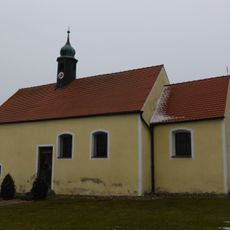
St. Ägidius
2.7 km
St. Sixtus (Hartham)
3.6 km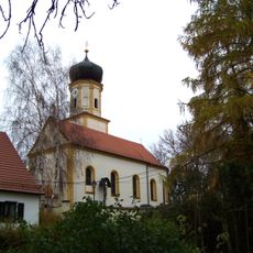
Katholische Filialkirche St. Leonhard
2.9 km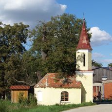
Dorfkapelle
3.7 km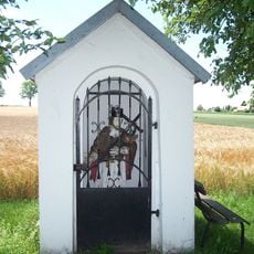
Kapelle Johannes von Nepomuk
3.6 km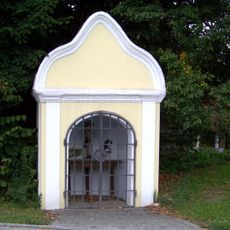
Dorfkapelle Christus an der Geißelsäule
2.9 km
Wegkapelle
3.8 km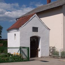
Wegkapelle St. Maria
2.5 km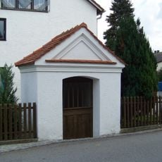
Wegkapelle
1.8 km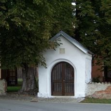
Wegkapelle, sogenannte Meyringer-Kapelle
3.2 km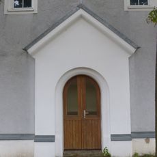
Hofkapelle
281 m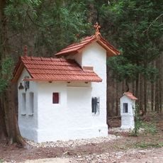
Waldkapelle, sogenannte Lourdeskapelle
4.3 km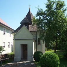
Kapelle St. Anna
2.8 km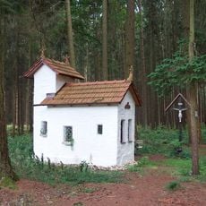
Waldkapelle, sogenannte Maria-Einsiedel-Kapelle
4.1 km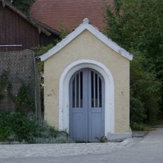
Wegkapelle
1.8 km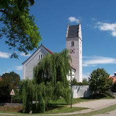
St. Petrus und Klemens
3.2 km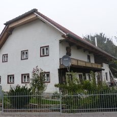
Ehem. Bauernhaus
139 m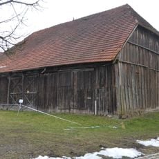
Stadel
3.2 km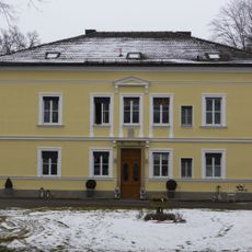
Sankt Gilla
2.8 km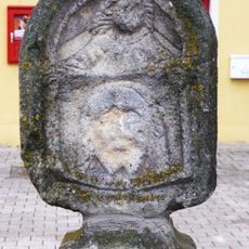
Bildstock
3.1 km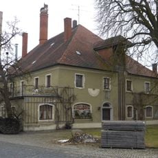
Ehemaliges Landsassengut
3.4 km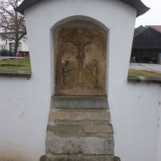
Bildstockkopf
3.1 kmReviews
Visited this place? Tap the stars to rate it and share your experience / photos with the community! Try now! You can cancel it anytime.
Discover hidden gems everywhere you go!
From secret cafés to breathtaking viewpoints, skip the crowded tourist spots and find places that match your style. Our app makes it easy with voice search, smart filtering, route optimization, and insider tips from travelers worldwide. Download now for the complete mobile experience.

A unique approach to discovering new places❞
— Le Figaro
All the places worth exploring❞
— France Info
A tailor-made excursion in just a few clicks❞
— 20 Minutes