
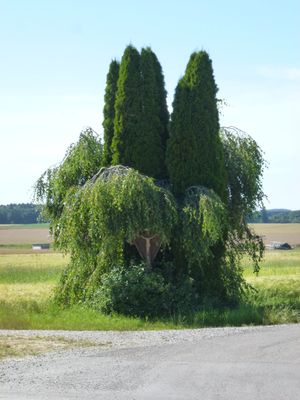
Wegkreuz, 2. Hälfte 19. Jahrhundert
Location: Egenhofen
Address: Ziender
GPS coordinates: 48.25590,11.17560
Latest update: March 4, 2025 01:32

Schloss Spielberg
2.1 km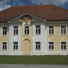
Kloster Spielberg
2.1 km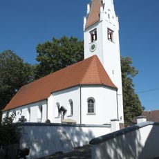
St. Michael
3.5 km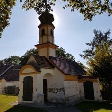
Kalvarienberg (Wenigmünchen)
3.4 km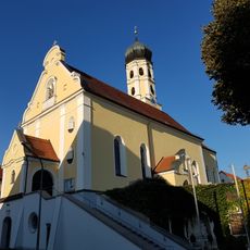
St. Margareth (Günzlhofen)
2.7 km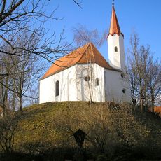
Burgstall Wenigmünchen
3.4 km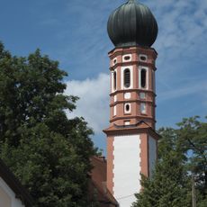
St. Stephan
4.3 km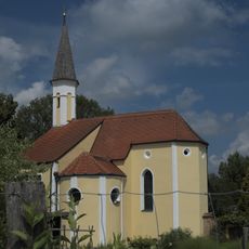
St. Cajetan (Oberschweinbach)
2.1 km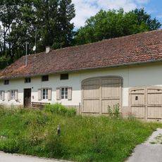
Dorfstraße 12
4.2 km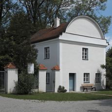
Benefiziatenhaus
2.1 km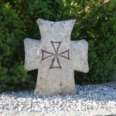
Stone crosses in Egenhofen
466 m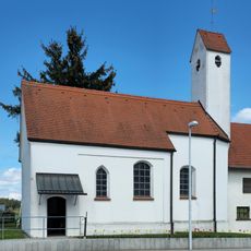
Heilige Dreifaltigkeit
2.6 km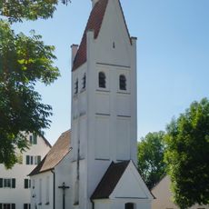
St. Nikolaus
2 km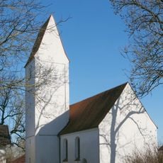
Heilig Kreuz
3.5 km
St. Anna
2.9 km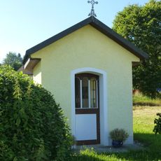
Kapelle (Egenburg)
4.2 km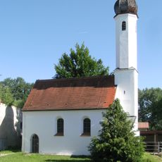
St. Katharina
3.2 km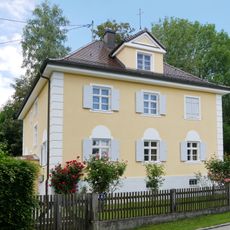
Büro- und Verwaltungsgebäude
4.1 km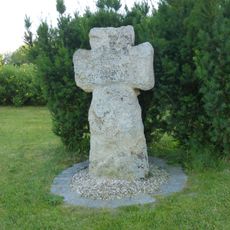
Steinkreuz2
1 km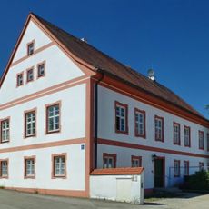
Katholisches Pfarrhaus
2 km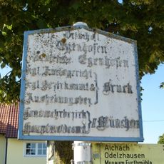
Ortsschild aus Gusseisen
3.2 km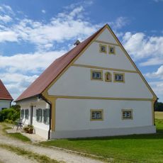
Bauernhaus
4.4 km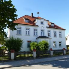
Ehemaliges Schulhaus
3.2 km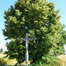
Wegkreuz
3.4 km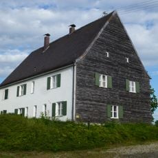
Ehemals Pfarrhaus
4.4 km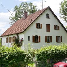
Gutsverwaltung
4.2 km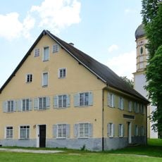
Ehemals Schlosswirtschaft
4.1 km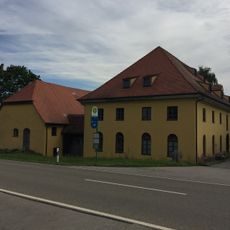
Furthmühle Egenhofen
4.2 kmReviews
Visited this place? Tap the stars to rate it and share your experience / photos with the community! Try now! You can cancel it anytime.
Discover hidden gems everywhere you go!
From secret cafés to breathtaking viewpoints, skip the crowded tourist spots and find places that match your style. Our app makes it easy with voice search, smart filtering, route optimization, and insider tips from travelers worldwide. Download now for the complete mobile experience.

A unique approach to discovering new places❞
— Le Figaro
All the places worth exploring❞
— France Info
A tailor-made excursion in just a few clicks❞
— 20 Minutes