
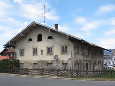
Ehemaliger Bauernhof
Ehemaliger Bauernhof, verputzter Backsteinbau mit flachem Satteldach, profilierten Balkenköpfen und halbrunden Speicheröffnungen, Wirtschaftsteil zum Teil mit Bundwerk, um 1830/40
Location: Zorneding
Address: Münchner Straße 36
GPS coordinates: 48.08328,11.81903
Latest update: March 8, 2025 01:15
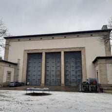
Staatsatelier Thorak
3.2 km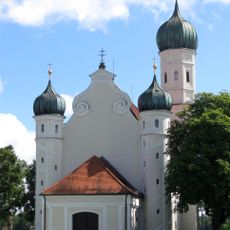
St. Ottilia
3.5 km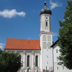
St. Martin
316 m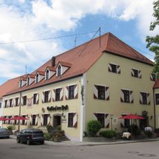
Anton-Grandauer-Straße 9
262 m
St. Georg
1.7 km
Pfarrhaus (Zorneding)
319 m
Taubenkobel der ehemaligen Brauerei
3.1 km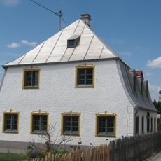
Bucher Straße 22
524 m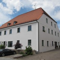
Anton-Grandauer-Straße 11
233 m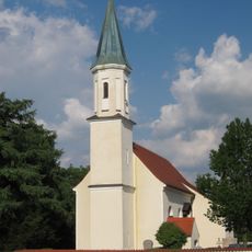
Hl. Kreuzerhöhung
2.6 km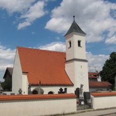
Katholische Filialkirche St. Korbinian, ehemals St. Magdalena
3.9 km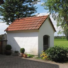
Hofkapelle des sogenannten Forster-Hofs
3.8 km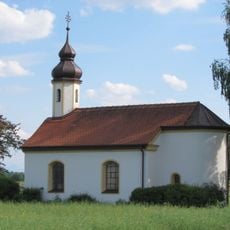
Feldkapelle
3.2 km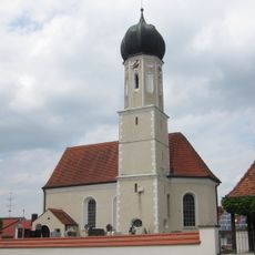
St. Peter
3.5 km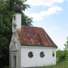
Kapelle St. Antonius
190 m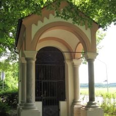
Wegkapelle St. Marien
628 m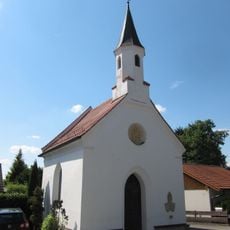
Kapelle
2.4 km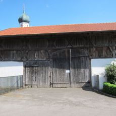
Stadel
1.7 km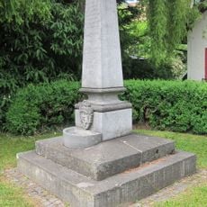
Denkmal zur Erinnerung an die Einrichtung der Zornedinger Wasserleitung
370 m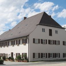
Verwalterhaus
3.5 km
Christophoruskirche
765 m
Wohnhaus
2.7 km
Ehemaliger Bauernhof
288 m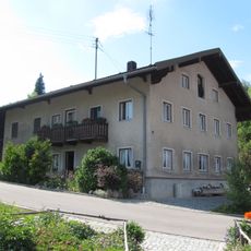
Ehemaliges Bauernhaus
1.6 km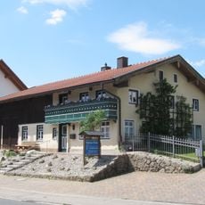
Ehemaliges Bauernhaus
803 m
Ehemaliger Bauernhof
735 m
Ehemaliges Bauernhaus
521 m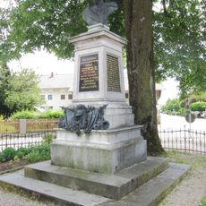
Denkmal für König Ludwig II.
387 mVisited this place? Tap the stars to rate it and share your experience / photos with the community! Try now! You can cancel it anytime.
Discover hidden gems everywhere you go!
From secret cafés to breathtaking viewpoints, skip the crowded tourist spots and find places that match your style. Our app makes it easy with voice search, smart filtering, route optimization, and insider tips from travelers worldwide. Download now for the complete mobile experience.

A unique approach to discovering new places❞
— Le Figaro
All the places worth exploring❞
— France Info
A tailor-made excursion in just a few clicks❞
— 20 Minutes