
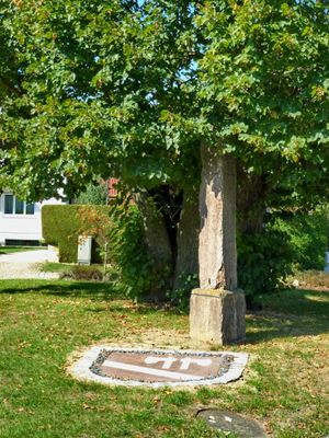
Grenzstein, dreikantige Rotmarmorsäule mit Wappenreliefs, bezeichnet mit dem Jahr 1727; an der Abzweigung der Kirchgasse
Location: Hilgertshausen-Tandern
Address: Kirchgasse
GPS coordinates: 48.42867,11.35337
Latest update: March 6, 2025 12:34
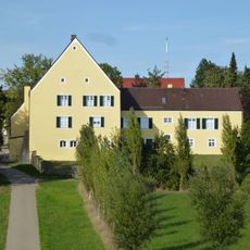
Schloss
3.7 km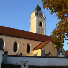
St. Maria (Ainhofen)
3.7 km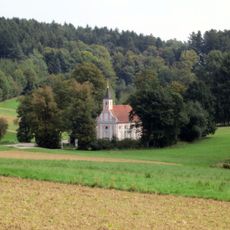
Wallfahrtskirche St. Wolfgang
4.9 km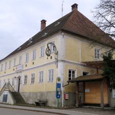
Gasthaus Jetzendorf
4.9 km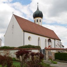
St. Emmeram
7 km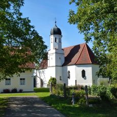
St. Michael
1.5 km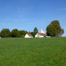
St. Ursula
861 m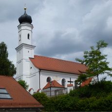
Katholische Filialkirche St Stephan
6.6 km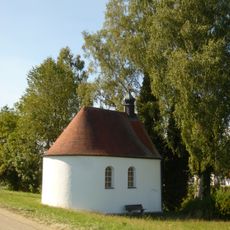
Brünnlkapelle
769 m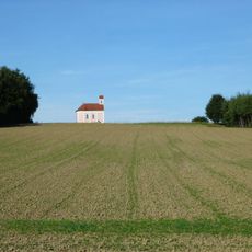
Wieskapelle
3.5 km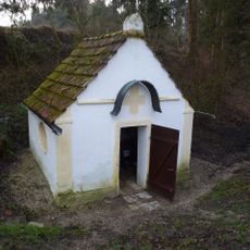
Brunnenkapelle
4.7 km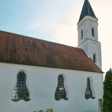
Kapelle ULF
3.8 km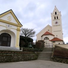
Kriegergedächtniskapelle
4.8 km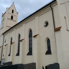
St. Johannes d. T.
4.8 km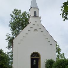
Marienkapelle
4.4 km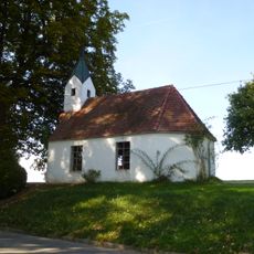
Ortskapelle
2.7 km
Lourdeskapelle
5.9 km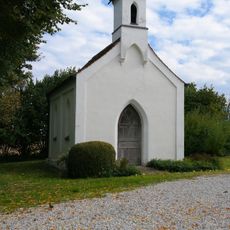
Katholische Kapelle St. Bernhard
6.7 km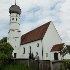
Kirche
6.2 km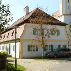
Mesnerhaus
38 m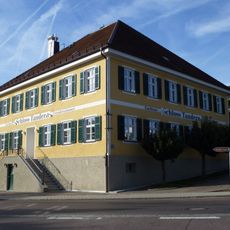
Gasthaus Rinauer
3.6 km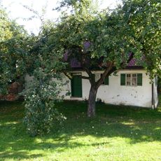
Bauernhaus
3.9 km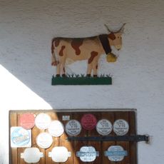
Mörtelplastik
3.8 km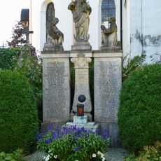
Kriegerdenkmal
3.7 km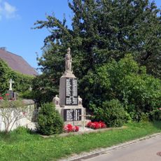
Kriegerdenkmal
5.2 km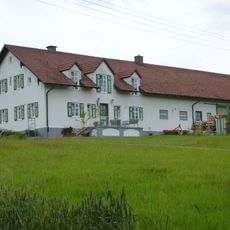
Wohnstallhaus
6.4 km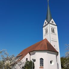
Pfarrkirche
6.8 km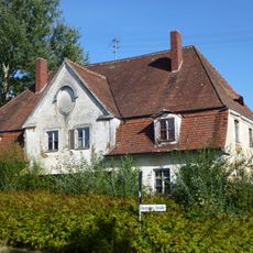
Wohnhaus
3.6 kmReviews
Visited this place? Tap the stars to rate it and share your experience / photos with the community! Try now! You can cancel it anytime.
Discover hidden gems everywhere you go!
From secret cafés to breathtaking viewpoints, skip the crowded tourist spots and find places that match your style. Our app makes it easy with voice search, smart filtering, route optimization, and insider tips from travelers worldwide. Download now for the complete mobile experience.

A unique approach to discovering new places❞
— Le Figaro
All the places worth exploring❞
— France Info
A tailor-made excursion in just a few clicks❞
— 20 Minutes