
Wohnstallhaus, building in Tschirn, Upper Franconia, Germany
Location: Tschirn
Address: Bergweg 11
GPS coordinates: 50.39897,11.44780
Latest update: March 2, 2025 23:43

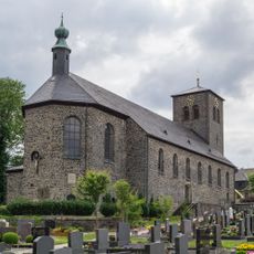
Pfarrkirche
4.7 km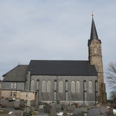
St. Jakobus
83 m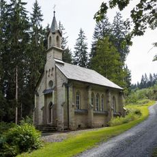
Waldkapelle
2.9 km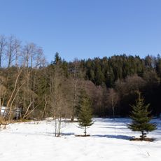
Tschirner und Nordhalbener Ködeltal mit Mäusbeutel
4.2 km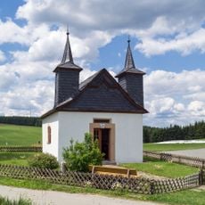
Feldkapelle
3.9 km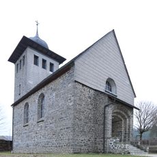
Kirche
1.9 km
Wegkapelle
4.4 km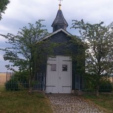
Wegkapelle Effelter D-4-76-189-63
4.6 km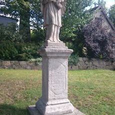
Statue
447 m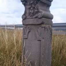
Bildstock
4.2 km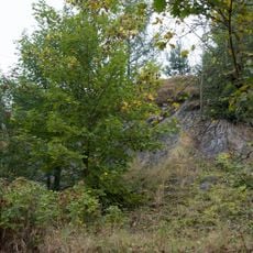
Steinbruch SE von Haßlach bei Teuschnitz
4.5 km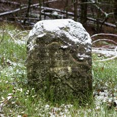
Landesgrenzstein 661
4.3 km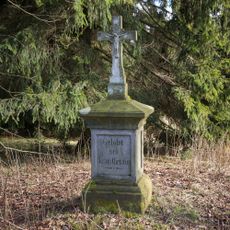
Wegkreuz
4.3 km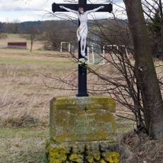
Wegkreuz
3.9 km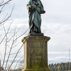
Heiligenfigur
3.8 km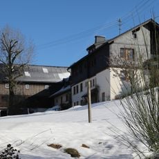
Cultural heritage D-4-76-166-2 in Reichenbach (Landkreis Kronach)
3.8 km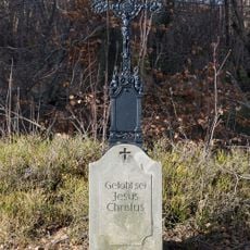
Wegkreuz
4 km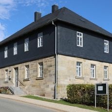
Ehemaliges Schulhaus
81 m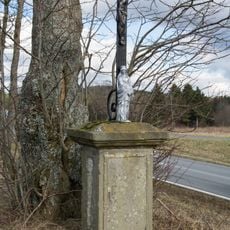
Wegkreuz
4.4 km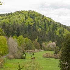
Täler und Rodungsinseln im Frankenwald mit Geroldsgrüner Forst
3.4 km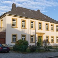
Katholisches Pfarrhaus
4.7 km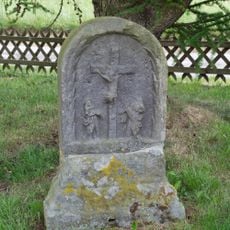
Bildstock
3.9 km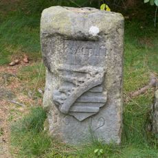
Grenzstein
4.7 km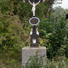
Wegkreuz
4.1 km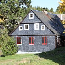
Cultural heritage D-4-76-180-29 in Teuschnitz
1.9 km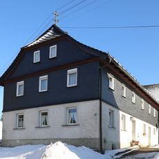
Wohnstallhaus
3.7 km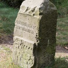
Grenzstein
4.5 km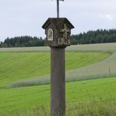
Bildstock
4 kmReviews
Visited this place? Tap the stars to rate it and share your experience / photos with the community! Try now! You can cancel it anytime.
Discover hidden gems everywhere you go!
From secret cafés to breathtaking viewpoints, skip the crowded tourist spots and find places that match your style. Our app makes it easy with voice search, smart filtering, route optimization, and insider tips from travelers worldwide. Download now for the complete mobile experience.

A unique approach to discovering new places❞
— Le Figaro
All the places worth exploring❞
— France Info
A tailor-made excursion in just a few clicks❞
— 20 Minutes