
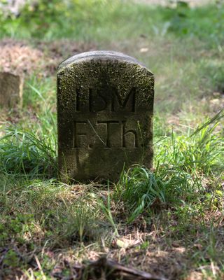
Grenzsteine, bezeichnet „KB“ (Königreich Bayern) und „HSM“ (Herzogtum Sachsen-Meiningen) bzw. „HM“ (Herzogtum Meiningen), mit Grenzgräben, um 1820
Location: Ludwigsstadt
Address: Westlich, nördlich und östlich des Ortes an der Grenze nach Thüringen
GPS coordinates: 50.51503,11.34610
Latest update: March 2, 2025 23:58

Burg Lauenstein
1.7 km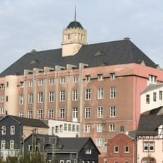
Haus des Volkes
3 km
Thüringer Warte
539 m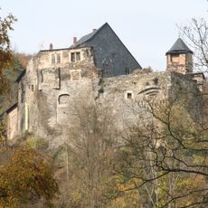
Schloss Wespenstein
3.4 km
St. Mary Magdalene (Ebersdorf)
2.8 km
Trogenbachbrücke
4.5 km
St. Marien
3.2 km
St. Nicholas (Lauenstein)
1.6 km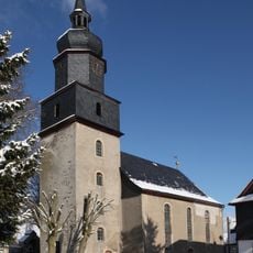
Evangelisch-lutherische Kirche Großneundorf
4 km
Ratzen-Berg
523 m
St. Sebastian
3 km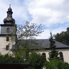
Protestant Church (Probstzella)
4.5 km
Oertels Dachschieferbruch
4 km
Kapelle
4.3 km
Villa Falkenstein
3.5 km
Apotheke
4.5 km
Gasthaus Kupferhammer
2.3 km
Aufgel. Wetzschieferbruch Bärenbrunn N von Lauenstein
2.4 km
Krankenhaus
4.1 km
Amtsgericht
4.5 km
Gedenkstein
1.7 km
Tanzhaus
2.8 km
Schafstall
2.9 km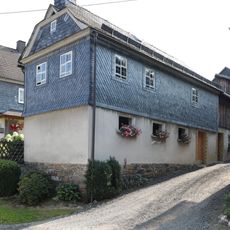
Nebengebäude
2.8 km
Bahnbrücke
4.5 km
Cultural heritage D-4-76-152-43 in Ludwigsstadt
4.5 km
Wohnhaus
3.7 km
Pfarrhaus
1.6 kmReviews
Visited this place? Tap the stars to rate it and share your experience / photos with the community! Try now! You can cancel it anytime.
Discover hidden gems everywhere you go!
From secret cafés to breathtaking viewpoints, skip the crowded tourist spots and find places that match your style. Our app makes it easy with voice search, smart filtering, route optimization, and insider tips from travelers worldwide. Download now for the complete mobile experience.

A unique approach to discovering new places❞
— Le Figaro
All the places worth exploring❞
— France Info
A tailor-made excursion in just a few clicks❞
— 20 Minutes