
Ehemalige Badstube, erdgeschossiger Blockbau, 2. Hälfte 17. Jahrhundert, weit vorkragender Vorbau mit Giebelbundwerk, 1. Drittel 19. Jahrhundert
Location: Kirchseeon
Address: Nähe Hirschenweg
GPS coordinates: 48.08149,11.87160
Latest update: March 6, 2025 14:38
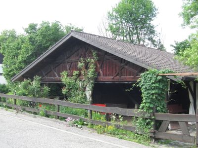
Schwellenwerk Kirchseeon
1.6 km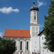
St. Martin
3.6 km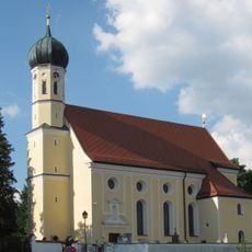
St. Georg
3.2 km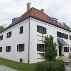
Pfarrhaus (Zorneding)
3.6 km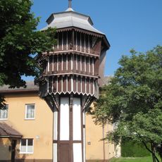
Taubenkobel der ehemaligen Brauerei
848 m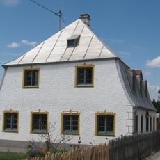
Bucher Straße 22
3.5 km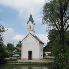
St. Ursula
1.3 km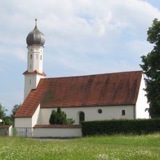
St. Coloman
3 km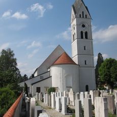
Katholische Pfarrkirche St. Joseph
1.7 km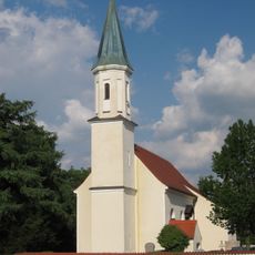
Hl. Kreuzerhöhung
1.4 km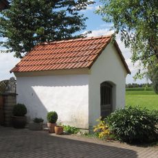
Hofkapelle des sogenannten Forster-Hofs
621 m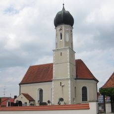
St. Peter
2.8 km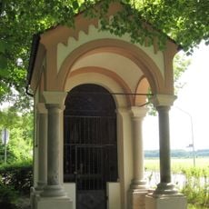
Wegkapelle St. Marien
3.5 km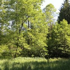
LSG Kirchseeoner Moos
3 km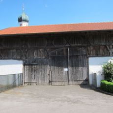
Stadel
3.2 km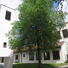
Christophoruskirche
3.2 km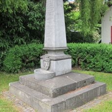
Denkmal zur Erinnerung an die Einrichtung der Zornedinger Wasserleitung
3.5 km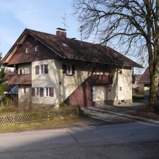
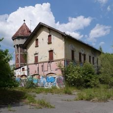
Eisenbahnersiedlung Kirchseeon
829 m
Ehemaliger Bauernhof
3.6 km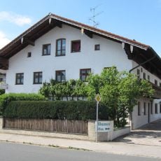
Ehemaliges Bauernhaus
3.4 km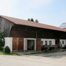
Stallstadel
3.1 km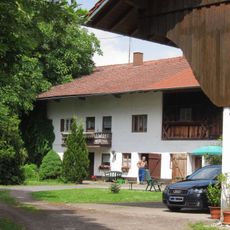
Ehemaliger Bauernhof
1.2 km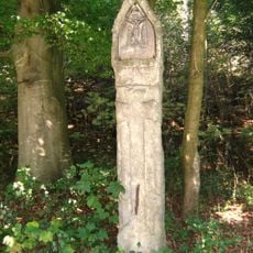
Bildstock
2.5 km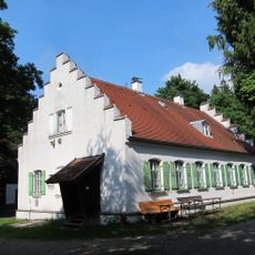
Ehemaliges Forsthaus Diana
2.6 km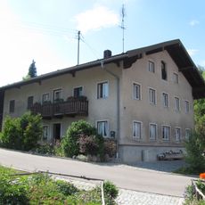
Ehemaliges Bauernhaus
3.2 km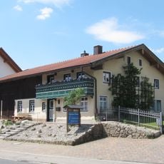
Ehemaliges Bauernhaus
3.1 km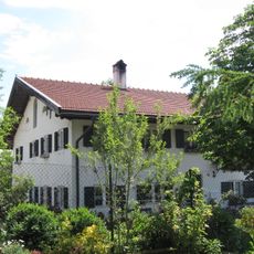
Ehemaliger Bauernhof
3.2 km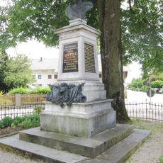
Denkmal für König Ludwig II.
3.5 kmReviews
Visited this place? Tap the stars to rate it and share your experience / photos with the community! Try now! You can cancel it anytime.
Discover hidden gems everywhere you go!
From secret cafés to breathtaking viewpoints, skip the crowded tourist spots and find places that match your style. Our app makes it easy with voice search, smart filtering, route optimization, and insider tips from travelers worldwide. Download now for the complete mobile experience.

A unique approach to discovering new places❞
— Le Figaro
All the places worth exploring❞
— France Info
A tailor-made excursion in just a few clicks❞
— 20 Minutes