
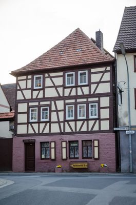
Wohnhaus, cultural heritage monument D-6-79-177-34 (0) in Remlingen (Unterfranken), Bavaria
Location: Remlingen
Address: Marktheidenfelder Straße 2
GPS coordinates: 49.80437,9.69445
Latest update: March 6, 2025 12:13

St. Andrew (Remlingen)
80 m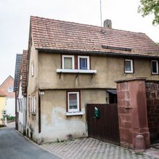
Wohnhaus
51 m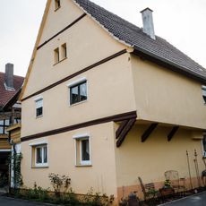
Wohnhaus
103 m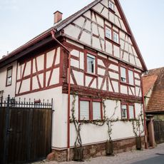
Wohnhaus
196 m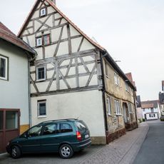
Wohnhaus
172 m
Wohnhaus
97 m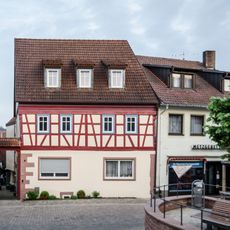
Wohnhaus
38 m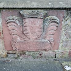
Wappenstein
156 m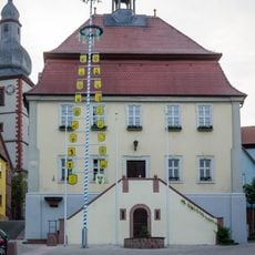
Rathaus
48 m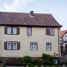
Wohnhaus
226 m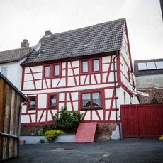
Wohnhaus
73 m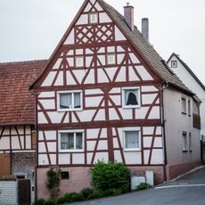
Wohnhaus
193 m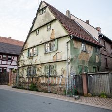
Wohnhaus
198 m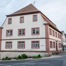
Amtshaus
24 m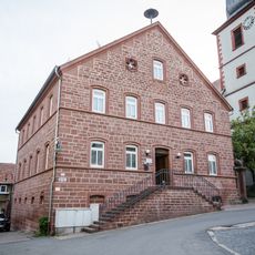
Schulgebäude
56 m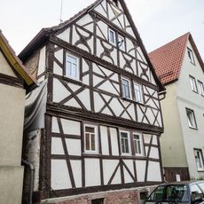
Wohnhaus
159 m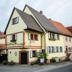
Wohnhaus
70 m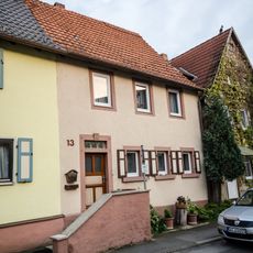
Wohnhaus
78 m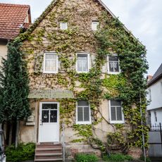
Wohnhaus
85 m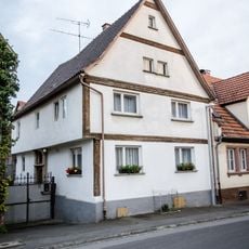
Wohnhaus
95 m
Wohnhaus
98 m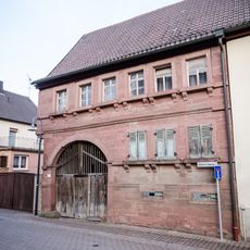
Hintere Gasse 4
230 m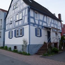
Wohnhaus
199 m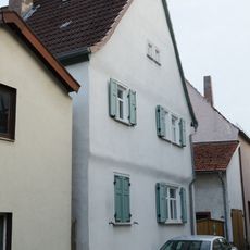
Wohnhaus
103 m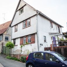
Wohnhaus
122 m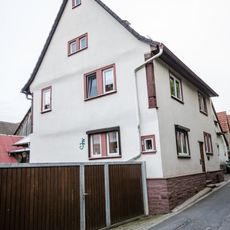
Wohnhaus
173 m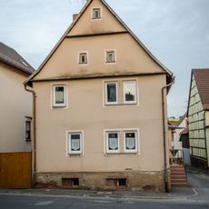
Wohnhaus
52 m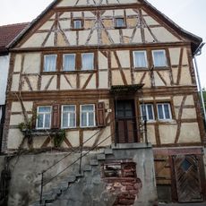
Wohnhaus
35 mReviews
Visited this place? Tap the stars to rate it and share your experience / photos with the community! Try now! You can cancel it anytime.
Discover hidden gems everywhere you go!
From secret cafés to breathtaking viewpoints, skip the crowded tourist spots and find places that match your style. Our app makes it easy with voice search, smart filtering, route optimization, and insider tips from travelers worldwide. Download now for the complete mobile experience.

A unique approach to discovering new places❞
— Le Figaro
All the places worth exploring❞
— France Info
A tailor-made excursion in just a few clicks❞
— 20 Minutes