
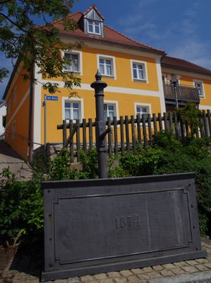
Brunnen, laufbrunnen mit rechteckigem Trog, Gusseisen, bezeichnet mit „1874“
Location: Lupburg
Address: Burgstraße
GPS coordinates: 49.15613,11.75623
Latest update: March 14, 2025 19:06
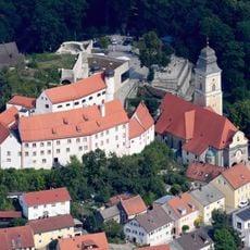
Burg Parsberg
2.7 km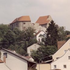
Burg Lupburg
68 m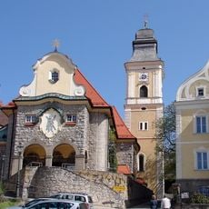
St. Andreas
2.6 km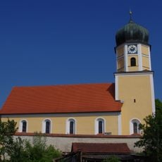
St. Martin
2 km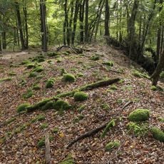
Abschnittsbefestigung Tischnerberg
1.7 km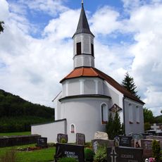
St. Laurentius (Hackenhofen)
3.5 km
Mariä Himmelfahrt (Degerndorf)
1.7 km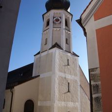
St. Barbara
46 m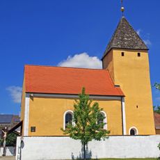
St. Katharina (Hardt)
3.1 km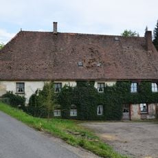
Mühle
1.2 km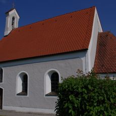
St. Salvator
646 m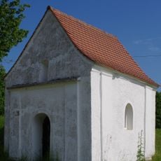
Wegkapelle
3.7 km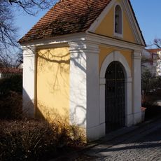
Apothekerkapelle
2.8 km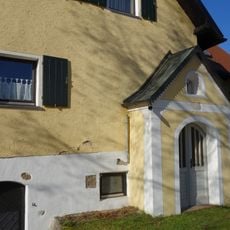
Kapelle St. Maria
2.8 km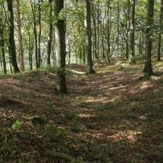
Landschaftsschutzgebiet Parsberg
3.8 km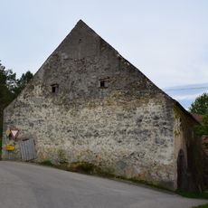
Scheune Wieselbruck 1 in Lupburg
1.2 km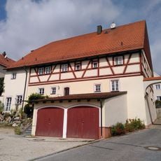
Ehemaliges Wohnstallhaus
112 m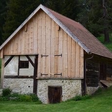
Scheune Nähe Königsmühle in Beratzhausen
3.8 km
Ehemaliges Wohnstallhaus
127 m
Bauernhaus
649 m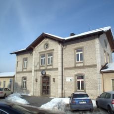
Station building at Parsberg station
2.5 km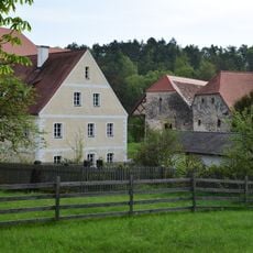
Hammermühle 4
2.8 km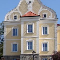
Katholisches Pfarrhaus Parsberg
2.6 km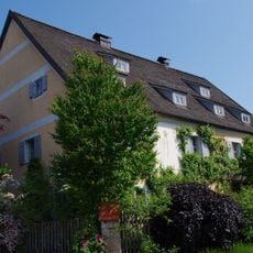
Ehemaliger Pfarrhof
2 km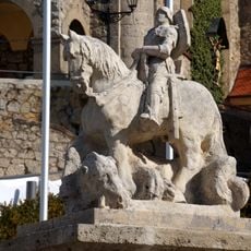
Kriegerdenkmal Parsberg
2.6 km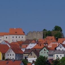
Ensemble Burgberg und Markt Lupburg
228 m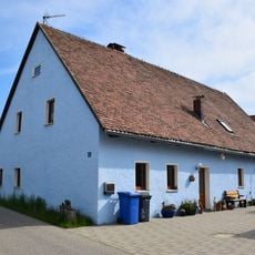
Wohnstallhaus, Haus 3
2.7 km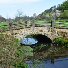
Brücke
978 mReviews
Visited this place? Tap the stars to rate it and share your experience / photos with the community! Try now! You can cancel it anytime.
Discover hidden gems everywhere you go!
From secret cafés to breathtaking viewpoints, skip the crowded tourist spots and find places that match your style. Our app makes it easy with voice search, smart filtering, route optimization, and insider tips from travelers worldwide. Download now for the complete mobile experience.

A unique approach to discovering new places❞
— Le Figaro
All the places worth exploring❞
— France Info
A tailor-made excursion in just a few clicks❞
— 20 Minutes