
, hierzu restlicher Zug der Stadtbefestigung, mittelalterlich
Location: Traunstein
Address: Hinter der Veste 4
GPS coordinates: 47.86802,12.65077
Latest update: March 3, 2025 01:02

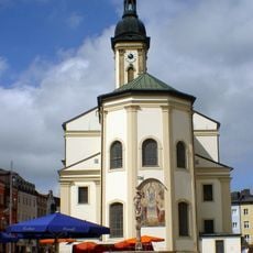
St. Oswald
280 m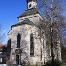
Salinenkapelle
196 m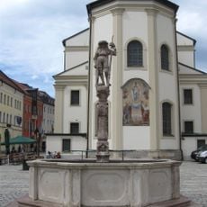
Lindlbrunnen
242 m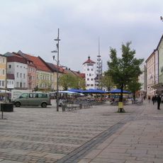
Ensemble Stadtplatz
243 m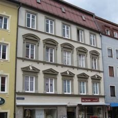
Schaumburgerstraße 1 Traunstein
329 m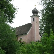
St. Salvator und Joseph
294 m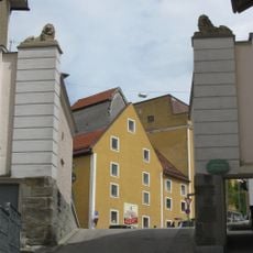
Aubergtor
102 m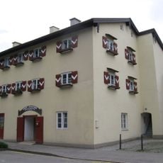
Alberti-Ferdinandi-Stock
277 m
Maximiliani-Wilhelmi-Stock
216 m
Stadtplatz 38
237 m
Ehemalige Höllbrauerei
210 m
Stadtplatz 8 Traunstein
315 m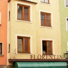
Schaumburgerstraße 7 Traunstein
336 m
Wohn- und Geschäftshaus
218 m
Stadtplatz 12
289 m
Im ehemaligen Rupertistadl befindet sich heute die Flussmeisterstelle des Wasserwirtschaftsamtes.
335 m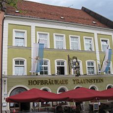
Stadtplatz 20
241 m
Rückgebäude der ehemaligen Brauerei
270 m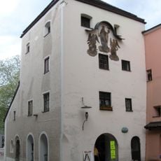
Brothausturm
330 m
Stadtplatz 7
331 m
Stadtplatz 5
317 m
Stadtplatz 6
325 m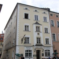
Gasthaus Höllbräu
225 m
Marienstock
178 m
Rathaus
277 m
Taubenmarkt 7 Traunstein
324 m
Hinter der Veste 4
32 m
Ensemble Karl-Theodor-Platz
244 mReviews
Visited this place? Tap the stars to rate it and share your experience / photos with the community! Try now! You can cancel it anytime.
Discover hidden gems everywhere you go!
From secret cafés to breathtaking viewpoints, skip the crowded tourist spots and find places that match your style. Our app makes it easy with voice search, smart filtering, route optimization, and insider tips from travelers worldwide. Download now for the complete mobile experience.

A unique approach to discovering new places❞
— Le Figaro
All the places worth exploring❞
— France Info
A tailor-made excursion in just a few clicks❞
— 20 Minutes