
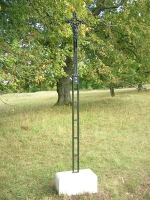
Wegkreuz, nordwestlich der Frauenbergkapelle, schlanke Metallkonstruktion mit barockisierendem Gekreuzigten, spätes 19. Jahrhundert
Location: Eichstätt
Address: Stadtweg
GPS coordinates: 48.88862,11.17697
Latest update: March 27, 2025 14:58
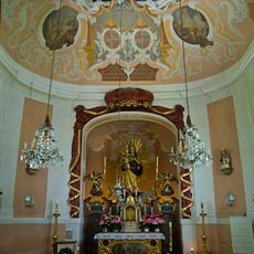
Frauenbergkapelle
316 m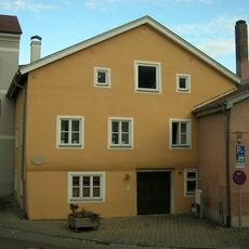
Ehemaliges Rotgerberanwesen
418 m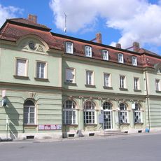
Bahnhofplatz 17, Eichstätt Stadt
531 m
Kavalierhöfe
480 m
Gesellenhausweg 3
390 m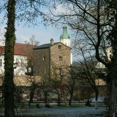
Fortified tower
481 m
Ehemalige Hofwäscherei
436 m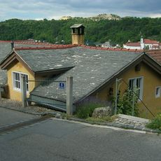
Petersleite 9
234 m
Weißenburger Straße 6
462 m
Residenzplatz 16
510 m
Hochwassersteg Rebdorf
393 m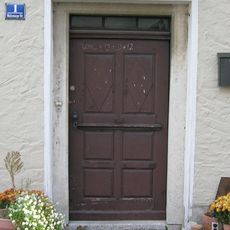
Haustür
437 m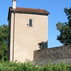
Gärtnerturm
524 m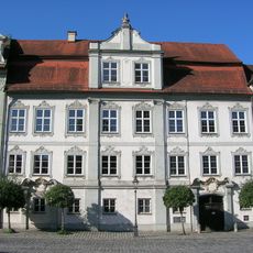
Residenzplatz 14
495 m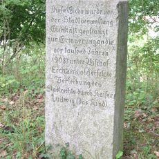
1000-Jahr-Stein
349 m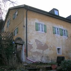
Burgstraße 9
413 m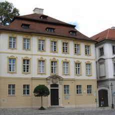
Residenzplatz 4
489 m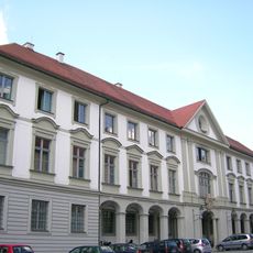
Residenzplatz 2
524 m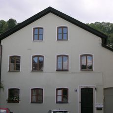
Sogenanntes Magerhaus
417 m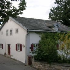
Wohnhaus
318 m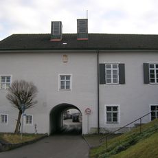
Kolpingstraße 1
372 m
Wohnhaus
351 m
Jurahaus
337 m
Sebastiangasse 7
382 m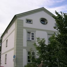
Kolpingstraße 3 (Eichstätt)
354 m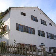
Sebastiangasse 16
333 m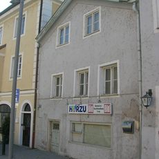
Bahnhofplatz 13
506 m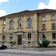
Weißenburger Straße 7
477 mReviews
Visited this place? Tap the stars to rate it and share your experience / photos with the community! Try now! You can cancel it anytime.
Discover hidden gems everywhere you go!
From secret cafés to breathtaking viewpoints, skip the crowded tourist spots and find places that match your style. Our app makes it easy with voice search, smart filtering, route optimization, and insider tips from travelers worldwide. Download now for the complete mobile experience.

A unique approach to discovering new places❞
— Le Figaro
All the places worth exploring❞
— France Info
A tailor-made excursion in just a few clicks❞
— 20 Minutes