
Ehemaliges Wohnstallhaus, building in Eichstätt, Upper Bavaria, Germany
Location: Eichstätt
Address: Westenstraße 144
GPS coordinates: 48.90163,11.17459
Latest update: April 24, 2025 11:24

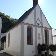
Mariahilf-Kapelle
717 m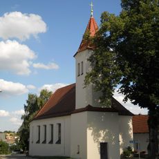
Heilig-Kreuz-Kirche (Wintershof)
538 m
Westenfriedhof
575 m
Wegkapelle
485 m
Franz-Göpfert-Steg
387 m
Fortified tower
835 m
Stadtmauer
828 m
Westenstraße 83
666 m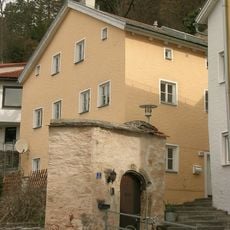
Kapellbuck 4
743 m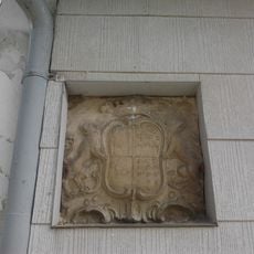
Wappentafel
550 m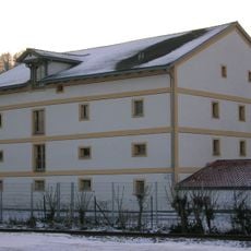
Getreidespeicher
693 m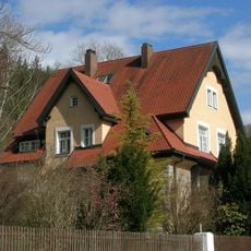
Westenstraße 124
288 m
Kreuzstein an der B13
24 m
Bildstock Geisberg
825 m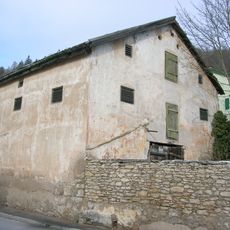
Westenstraße 94
528 m
Ehemaliger Englischer Garten (Eichstätt)
268 m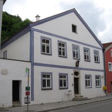
Benefiziatenhaus
727 m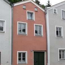
Ehemaliger Stadel
771 m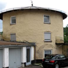
Batterieturm
609 m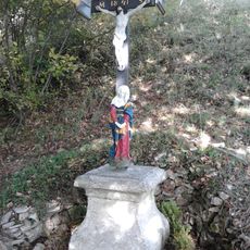
Wegkreuz Wolfsdrossel
246 m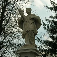
Nepomuk-Statue Schlagbrücke
703 m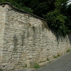
Stützmauer Kapellbuck
740 m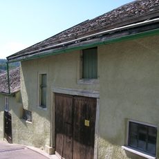
Ulrichsteig 1 (Eichstätt)
541 m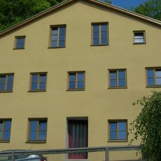
Kapellbuck 7
758 m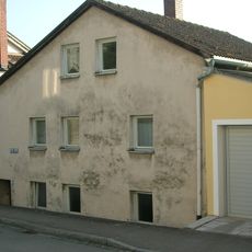
Jurahaus
349 m
Bastion
607 m
Wohnhaus
334 m
Stadtmauer
619 mReviews
Visited this place? Tap the stars to rate it and share your experience / photos with the community! Try now! You can cancel it anytime.
Discover hidden gems everywhere you go!
From secret cafés to breathtaking viewpoints, skip the crowded tourist spots and find places that match your style. Our app makes it easy with voice search, smart filtering, route optimization, and insider tips from travelers worldwide. Download now for the complete mobile experience.

A unique approach to discovering new places❞
— Le Figaro
All the places worth exploring❞
— France Info
A tailor-made excursion in just a few clicks❞
— 20 Minutes