
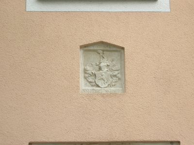
Steinerne Wappentafel, bezeichnet mit dem Jahr 1588; über dem Eingang
Location: Eichstätt
Address: Kardinal-Preysing-Platz 4
GPS coordinates: 48.89087,11.18735
Latest update: March 5, 2025 06:50
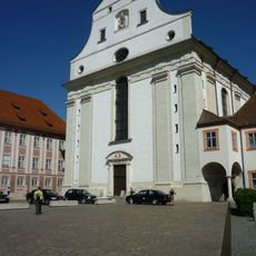
Schutzengelkirche
118 m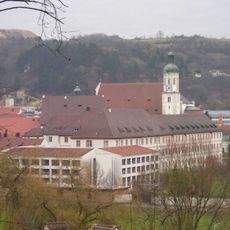
Collegium Willibaldicum
104 m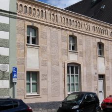
Pultdachbau
104 m
Hofstall
61 m
Ostenstraße 1
30 m
Wohnhaus
61 m
Ostenstraße 17
114 m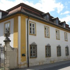
Ostenstraße 22
136 m
Fortified tower
145 m
Ehemalige Bäckerei
63 m
Dompropstei
118 m
Gartenpavillons Glasgarten (Eichstätt)
149 m
Wohlmuthgasse 2 (Eichstätt)
71 m
Pavillon
147 m
Wohnhaus
71 m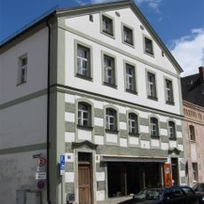
Wohn- und Geschäftshaus
91 m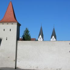
Fortified tower
88 m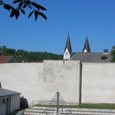
Tower fragment
124 m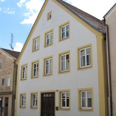
Wohnhaus
86 m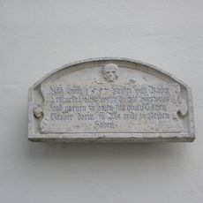
Steintafel
99 m
Portal
59 m
Bäckerei und Wohnhaus
64 m
Bürgerhaus
78 m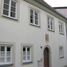
Wohn House
81 m
Luitpoldstraße 4
130 m
Huf- und Waffenschmiede
22 m
Ehemaliger Domherrenhof Schönau-Schrattenbach
143 m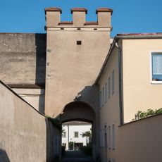
Fortified tower
68 mReviews
Visited this place? Tap the stars to rate it and share your experience / photos with the community! Try now! You can cancel it anytime.
Discover hidden gems everywhere you go!
From secret cafés to breathtaking viewpoints, skip the crowded tourist spots and find places that match your style. Our app makes it easy with voice search, smart filtering, route optimization, and insider tips from travelers worldwide. Download now for the complete mobile experience.

A unique approach to discovering new places❞
— Le Figaro
All the places worth exploring❞
— France Info
A tailor-made excursion in just a few clicks❞
— 20 Minutes