
Bildstock, gemauert, 19. Jahrhundert; am Feldweg nach Kinding
Location: Kinding
Address: Grundfeld
GPS coordinates: 48.99150,11.42228
Latest update: April 23, 2025 09:25

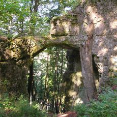
Burgstall Torfelsen
1 km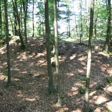
Burgstall Hubertusfelsen
398 m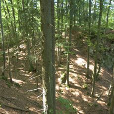
Burgstall Saufelsen
1.1 km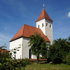
St. Nikolaus (Unteremmendorf)
889 m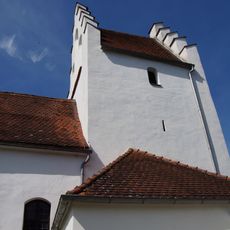
St. Peter und Paul
2.3 km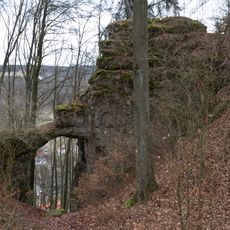
Torfelsen S von Unteremmendorf
1 km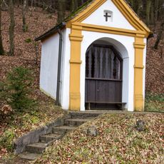
Wayside Chapel Pietà
2.5 km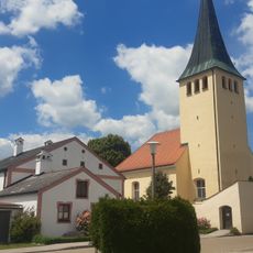
Pfarrkirche Mariä Heimsuchung
2 km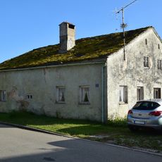
Kleinbauernhof
2 km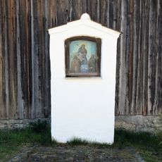
Schmerzensmutter-Bildstock
816 m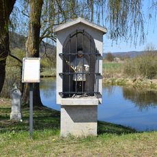
Brückenfigur Hl. Johann Nepomuk
894 m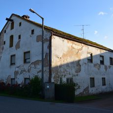
Wohnstallhaus Ks 17
1.8 km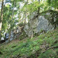
Hubertusfelsen W von Unteremmendorf
387 m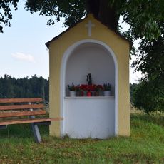
Wayside shrine
2.1 km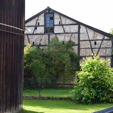
Half-timbered barn
1.9 km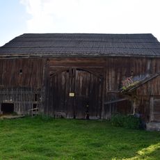
Barn
2 km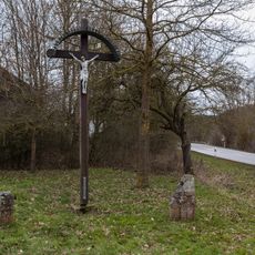
Kreuzgruppe südlich der alten Schwarzachbrücke
2.6 km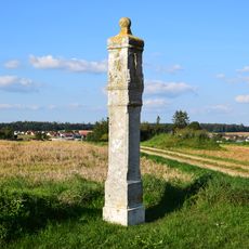
Pillar shrine
2.2 km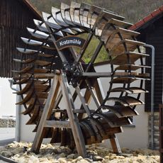
Mühlrad
2.5 km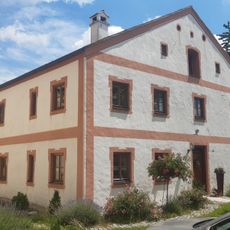
Farm house
2 km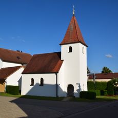
Ortskapelle
1.9 km
Langfelsen S von Unteremmendorf
812 m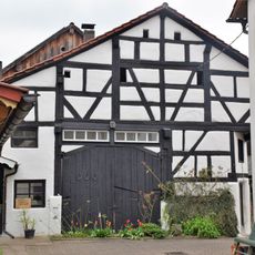
Fachwerkstadel
847 m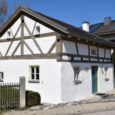
Hirtenhaus
842 m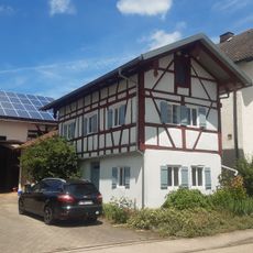
Austragshaus Erlenstraße 6
2 km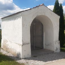
Wegkapelle Hl. Dreifaltigkeit
2.3 km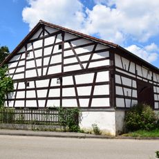
Half-timbered barn
2.2 km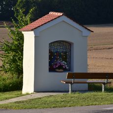
Holy Trinity Shrine
1.8 kmVisited this place? Tap the stars to rate it and share your experience / photos with the community! Try now! You can cancel it anytime.
Discover hidden gems everywhere you go!
From secret cafés to breathtaking viewpoints, skip the crowded tourist spots and find places that match your style. Our app makes it easy with voice search, smart filtering, route optimization, and insider tips from travelers worldwide. Download now for the complete mobile experience.

A unique approach to discovering new places❞
— Le Figaro
All the places worth exploring❞
— France Info
A tailor-made excursion in just a few clicks❞
— 20 Minutes