
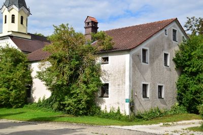
Farmhouse, eineinhalbgeschossiger Massivbau mit hohem Kniestock und Putzbandgliederung, 19. Jahrhundert
Location: Beilngries
Address: Oberndorf 7
GPS coordinates: 49.06272,11.50005
Latest update: March 3, 2025 09:43
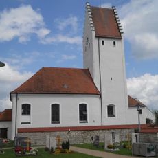
Saint Ulrich
1.3 km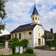
Saint Mary
12 m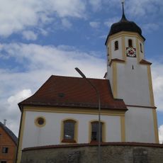
Katholische Kirche St. Nikolaus (Raitenbuch)
2.7 km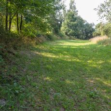
Abschnitt des Ludwig-Donau-Main-Kanals #09
2.6 km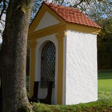
Field chapel in the Ried
2.7 km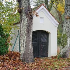
Wayside chapel
2.8 km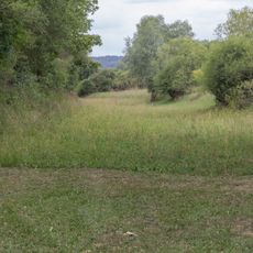
Abschnitt des Ludwig-Donau-Main-Kanals #07
2.7 km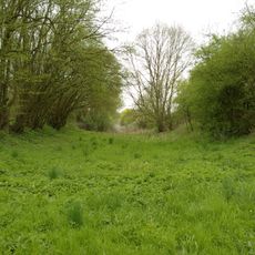
Abschnitt des Ludwig-Donau-Main-Kanals #08
2.5 km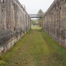
Schleuse 22 des Ludwig-Donau-Main-Kanals
2.6 km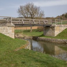
Brücke bei Biberbach
2.8 km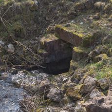
Kanalausleitung
2.7 km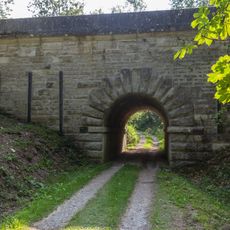
Navigable aqueduct
2.5 km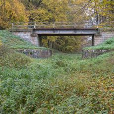
Road bridge
2.3 km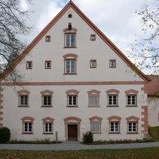
Ensemble Goesselthal Mill
2.7 km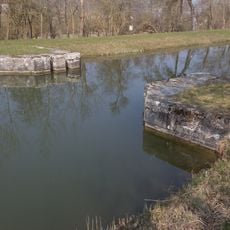
Canal safety lock near Plankstetten
2.8 km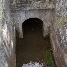
Creek culvert
2.8 km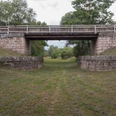
Brücke östlich der Schleuse 22
2.7 km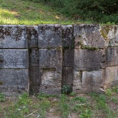
Ehemalige Kanalsperre bei Beilngries
2.2 km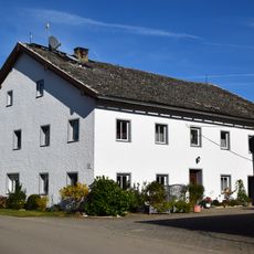
Former inn
1.1 km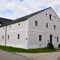
Farmhouse
84 m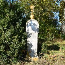
St. Martin's wayside shrine
2.8 km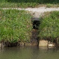
Bacheinleitung bei Plankstetten
2.8 km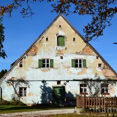
Schweigersdorf 5
1.2 km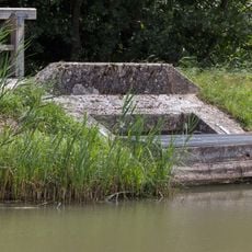
Zwangsentlastung bei Plankenstetten
2.8 km
Bacheinlauf bei km 43 8
2.8 km
Kanaldurchführung der EI21 bei Beilngries
2.6 km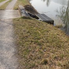
Grundablass bei Plankstetten
2.8 km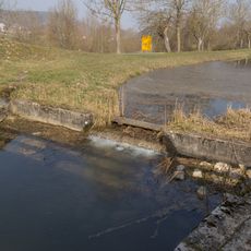
Sperrmauer bei km 43,6
2.8 kmVisited this place? Tap the stars to rate it and share your experience / photos with the community! Try now! You can cancel it anytime.
Discover hidden gems everywhere you go!
From secret cafés to breathtaking viewpoints, skip the crowded tourist spots and find places that match your style. Our app makes it easy with voice search, smart filtering, route optimization, and insider tips from travelers worldwide. Download now for the complete mobile experience.

A unique approach to discovering new places❞
— Le Figaro
All the places worth exploring❞
— France Info
A tailor-made excursion in just a few clicks❞
— 20 Minutes