
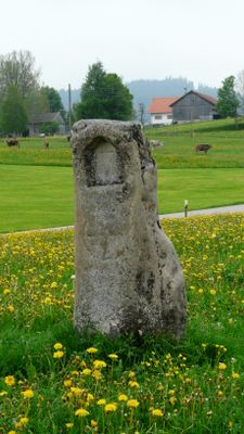
Freistein, sog.; Sandstein 17./18. Jahrhundert;
Location: Stötten am Auerberg
Address: 250 m nordwestlich der Kirche.
GPS coordinates: 47.75609,10.73293
Latest update: March 14, 2025 14:34
Auerberg
2.3 km
Saint Michael Chapel (Kienberg, Bernbeuren)
2.6 km
Saint John of Nepomuk Chapel (Günther, Bernbeuren)
2.5 km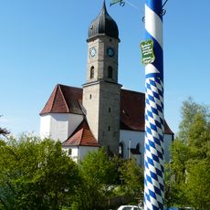
St. Vitus (Rettenbach am Auerberg)
2.3 km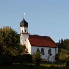
St. Anthony of Padua
3.6 km
Katholische Pfarrkirche St. Thomas und Afra
233 m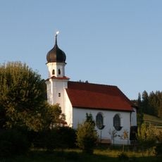
Kapelle St. Antonius von Padua
3.6 km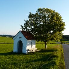
Wegkapelle
1.9 km
Katholische Kapelle St. Quirinus
3.4 km
St. Joseph
1.8 km
St. Anna
3.3 km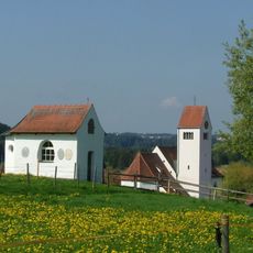
Katholische Marienkapelle
3.5 km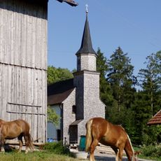
Kapelle Mariae Heimsuchung
2.6 km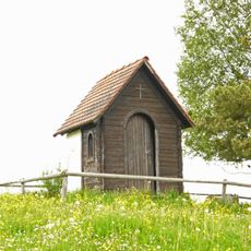
Kapelle
1.9 km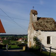
Kleine Weilerkapelle
1.3 km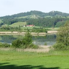
Auerberg
2.9 km
Einfirsthof, sog. beim Schmölz
2.7 km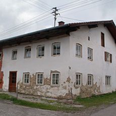
Bauernhaus
2.4 km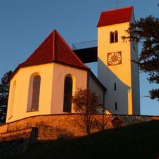
St. Georg
2.3 km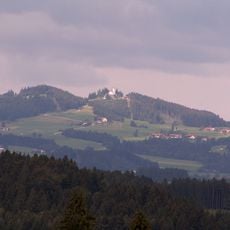
Ensemble Auerberg
2.3 km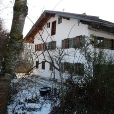
Bauernhaus
3.5 km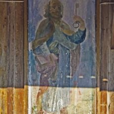
Kornkasten – Ölgemälde auf Holz
2.3 km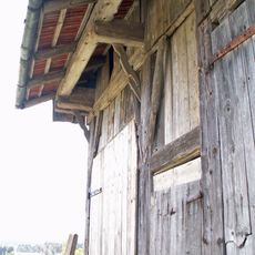
Feldstadel
2.7 km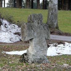
Steinkreuz
2.9 km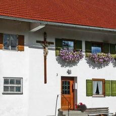
Hausfigur
2.8 km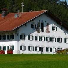
Ehemals Meierhof des Klosters Steingaden, sog. beim Moar
2.8 km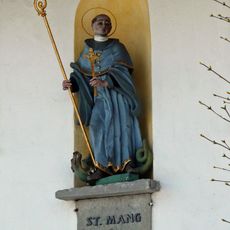
Hausfigur
3.3 km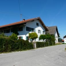
Bauernhaus
273 mVisited this place? Tap the stars to rate it and share your experience / photos with the community! Try now! You can cancel it anytime.
Discover hidden gems everywhere you go!
From secret cafés to breathtaking viewpoints, skip the crowded tourist spots and find places that match your style. Our app makes it easy with voice search, smart filtering, route optimization, and insider tips from travelers worldwide. Download now for the complete mobile experience.

A unique approach to discovering new places❞
— Le Figaro
All the places worth exploring❞
— France Info
A tailor-made excursion in just a few clicks❞
— 20 Minutes