
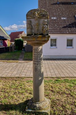
Bildsäule, sandsteinsäule mit Reliefplatte, bezeichnet „1728“
Location: Aurach
Address: Weinberger Straße
GPS coordinates: 49.24407,10.41188
Latest update: March 3, 2025 19:54
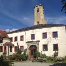
Burg Wahrberg
651 m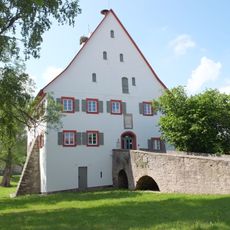
Burg Aurach
4.3 km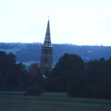
St. Vitus
3.9 km
St. Peter und Paul
216 m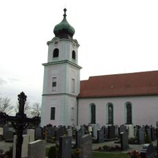
St. Martin
6 km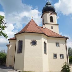
St. Jakobus der Ältere
4 km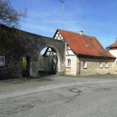
Schloss Wiedersbach
6 km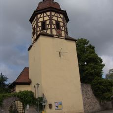
St. Johannis Baptista
6 km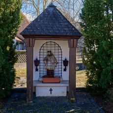
Johann-Nepomuk-Kapelle
376 m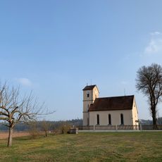
Mater Dolorosa
3.5 km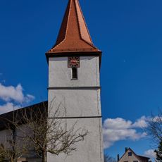
Mariä Sieben Schmerzen
3.6 km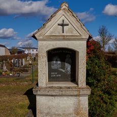
Prozessionskapelle
3.6 km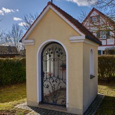
Prozessionskapelle
3.7 km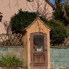
Prozessionskapelle
3.7 km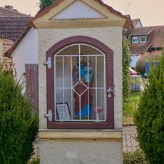
Prozessionskapelle
3.8 km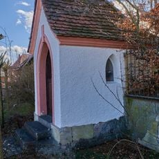
Kapelle D-5-71-114-12
112 m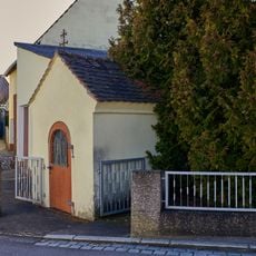
Votivkapelle
32 m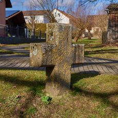
Steinkreuz in Weinberg
3.9 km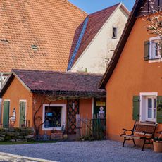
Nebengebäude Weinberger Straße 12 in Aurach (Landkreis Ansbach)
99 m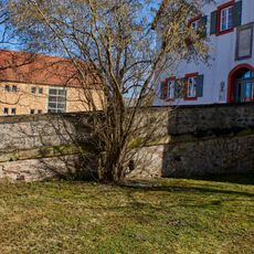
Verbindungsbrücke Im Mooshof 4 in Aurach (Landkreis Ansbach)
154 m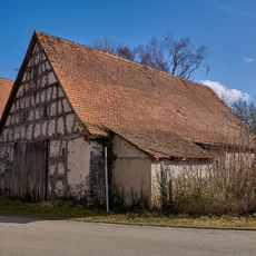
Scheune Im Mooshof 5 in Aurach (Landkreis Ansbach)
178 m
Graben Im Mooshof 4 in Aurach (Landkreis Ansbach)
156 m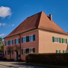
Wohnhaus
49 m
Friedhofsmauer Kirchplatz 1 in Aurach (Landkreis Ansbach)
217 m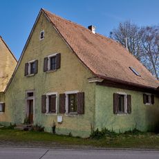
Ehemaliger Zwiehof, Wohnstallhaus
187 m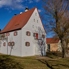
Ehemalige Vogtei, jetzt Rathaus
156 m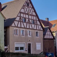
Wohnhaus D-5-71-114-6
184 m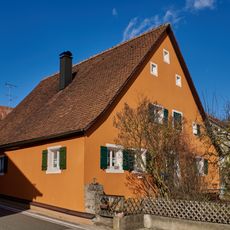
Wohnhaus D-5-71-114-9
87 mReviews
Visited this place? Tap the stars to rate it and share your experience / photos with the community! Try now! You can cancel it anytime.
Discover hidden gems everywhere you go!
From secret cafés to breathtaking viewpoints, skip the crowded tourist spots and find places that match your style. Our app makes it easy with voice search, smart filtering, route optimization, and insider tips from travelers worldwide. Download now for the complete mobile experience.

A unique approach to discovering new places❞
— Le Figaro
All the places worth exploring❞
— France Info
A tailor-made excursion in just a few clicks❞
— 20 Minutes