
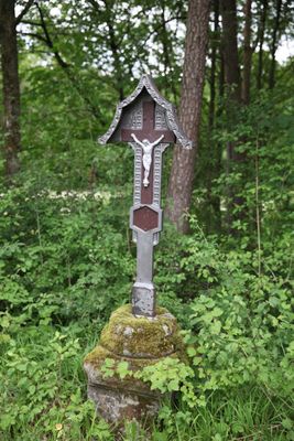
Bildstock, cultural heritage monument D-4-78-165-361 (0) in Bad Staffelstein, Bavaria
Location: Bad Staffelstein
Address: Wüstenkaider, am Weinhügel nahe Wüstenkaider
GPS coordinates: 50.05664,11.06712
Latest update: April 6, 2025 13:24
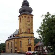
St. Ägidius
1.6 km
Stierfessel
1.9 km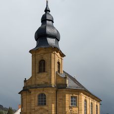
St. Nikolaus und St. Gumbertus (Stublang)
3 km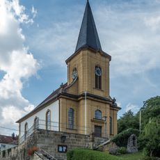
Filialkirche
2.3 km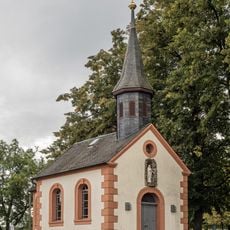
Kapelle
1.5 km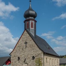
Filialkirche
2.4 km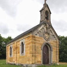
Ausstattung
468 m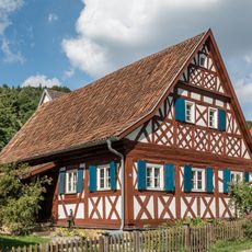
Cultural heritage D-4-78-120-151 in Ebensfeld
2.2 km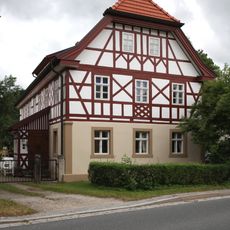
Wohnhaus
716 m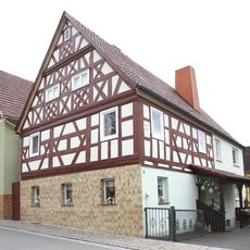
Cultural heritage D-4-78-165-210 in Bad Staffelstein
947 m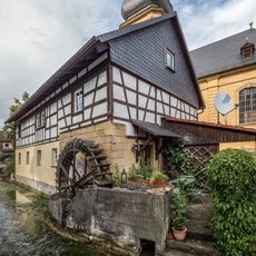
Mühle
1.6 km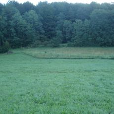
Albtrauf im Landkreis Lichtenfels
1.2 km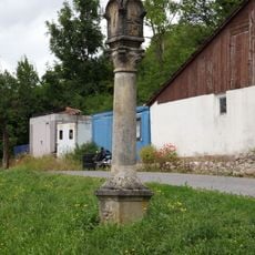
Bildstock
396 m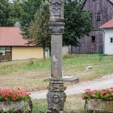
Bildstock
1.5 km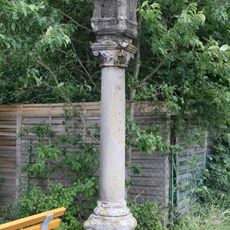
Bildstock
1.3 km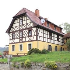
Cultural heritage D-4-78-165-136 in Bad Staffelstein
3 km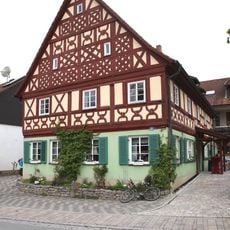
Cultural heritage D-4-78-165-208 in Bad Staffelstein
967 m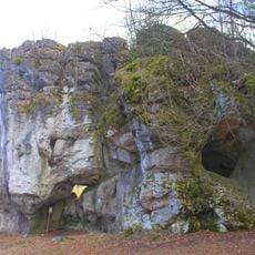
Felsturm Hohler Stein ESE von Schwabthal
2.7 km
Mühle
3 km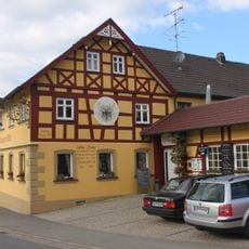
Wohnhaus
743 m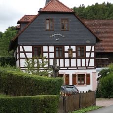
Mühle
728 m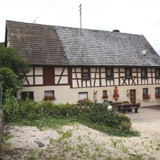
Wohnstallhaus
351 m
Bürgerzentrum
2.9 km
Cultural heritage D-4-78-165-166 in Bad Staffelstein
1.5 km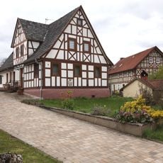
Wohnhaus
982 m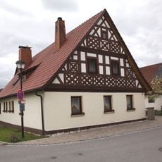
Cultural heritage D-4-78-165-211 in Bad Staffelstein
965 m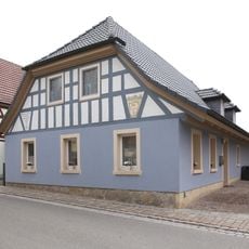
Cultural heritage D-4-78-165-209 in Bad Staffelstein
941 m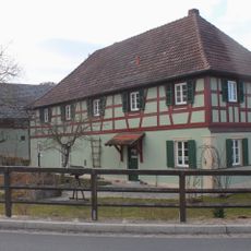
Cultural heritage D-4-78-165-123 in Bad Staffelstein
758 mVisited this place? Tap the stars to rate it and share your experience / photos with the community! Try now! You can cancel it anytime.
Discover hidden gems everywhere you go!
From secret cafés to breathtaking viewpoints, skip the crowded tourist spots and find places that match your style. Our app makes it easy with voice search, smart filtering, route optimization, and insider tips from travelers worldwide. Download now for the complete mobile experience.

A unique approach to discovering new places❞
— Le Figaro
All the places worth exploring❞
— France Info
A tailor-made excursion in just a few clicks❞
— 20 Minutes