
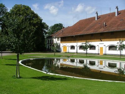
Stadel, ständerbohlenbau mit Satteldach, bezeichnet 1708
Location: Buxheim
Address: Westerhart 4
GPS coordinates: 47.96473,10.11933
Latest update: March 3, 2025 21:06
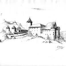
Burgruine Marstetten
3.6 km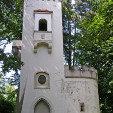
Bismarck Tower (Memmingen)
3.6 km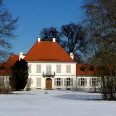
Schloss Illerfeld
1.9 km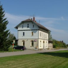
Tannheim (Württ) station
3.8 km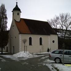
St. Michael
3.3 km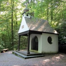
Fürst-Erich-Kapelle (Aitrach)
3.5 km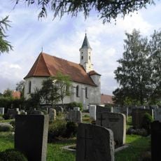
Dreieinigkeitskirche
2.8 km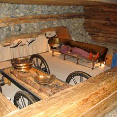
Grabhügelgruppe zwischen Volkratshofen und Brunnen
762 m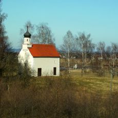
Lorettokapelle Kronwinkel
3.8 km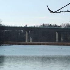
Buxachtalbrücke
3 km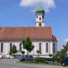
St. Gordianus und Epimachus (Aitrach)
3.6 km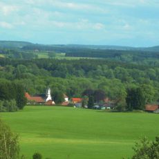
Pfarrkirche St. Johann Baptist (Mooshausen)
2.6 km
Burg Kronwinkel
3.8 km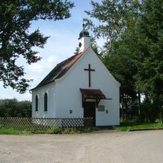
Kapelle Westerhart
55 m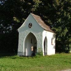
Bruder-Konrad-Kapelle
3.5 km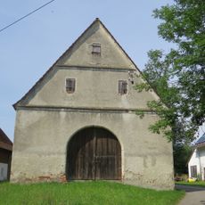
Zehntstadel
2.9 km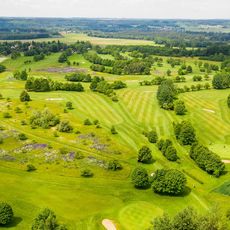
Golfclub Memmingen Gut Westerhart
156 m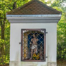
Wegkapelle Illerstraße
3.4 km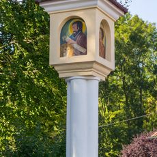
Bildstock
3.5 km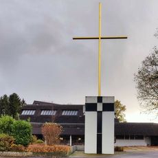
Christi Auferstehung
3.9 km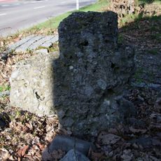
Sühnekreuz
4 km
Gasthaus
1 km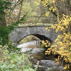
Buxachbrücke
2.9 km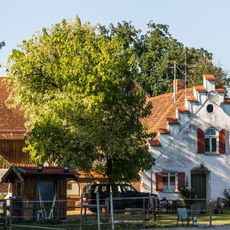
Ehemaliger Ziegelstadel
3.1 km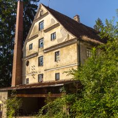
Ehemalige Klostermühle
3.8 km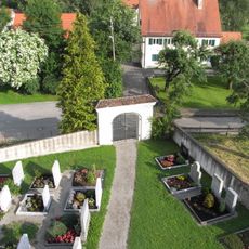
Friedhofstor
2.8 km
Buxacher Mühle
2.8 km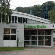
Eissporthalle Memmingen
3.6 kmReviews
Visited this place? Tap the stars to rate it and share your experience / photos with the community! Try now! You can cancel it anytime.
Discover hidden gems everywhere you go!
From secret cafés to breathtaking viewpoints, skip the crowded tourist spots and find places that match your style. Our app makes it easy with voice search, smart filtering, route optimization, and insider tips from travelers worldwide. Download now for the complete mobile experience.

A unique approach to discovering new places❞
— Le Figaro
All the places worth exploring❞
— France Info
A tailor-made excursion in just a few clicks❞
— 20 Minutes