
Ehemaliges Ackerbürgerhaus, building in Weiden in der Oberpfalz, Upper Palatinate, Germany
Location: Weiden in der Oberpfalz
Address: Judengasse 9
GPS coordinates: 49.67451,12.16338
Latest update: April 9, 2025 11:35

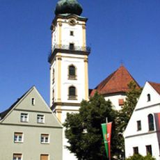
St. Michael (Weiden in der Oberpfalz)
131 m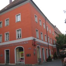
„Vestes Haus“
148 m
Wörthstraße
150 m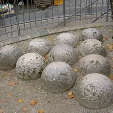
Zehn Geschützkugeln, sogenannte Hussitenkugeln
148 m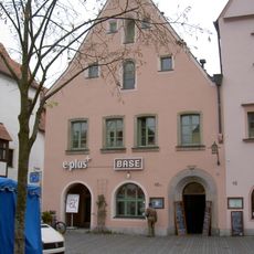
Unterer Markt 10a
153 m
Unterer Markt 4
116 m
Wohnhaus
85 m
City walls of Weiden in der Oberpfalz
73 m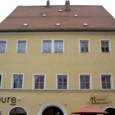
Unterer Markt 6
128 m
Bürgerhaus
154 m
Bürgerhaus
160 m
Wohn- und Geschäftshaus
76 m
Wohn- und Geschäftshaus, ehemaliges Handwerkerhaus
81 m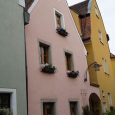
Wohnhaus
55 m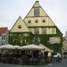
Altes Rathaus
124 m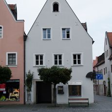
Eckhaus
51 m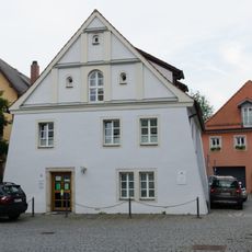
Wohnhaus
80 m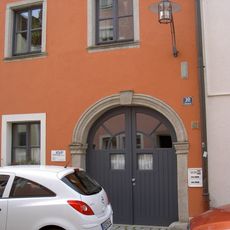
Wohnhaus
146 m
Wohnhaus
81 m
Oberes Tor (Weiden in der Oberpfalz)
136 m
Wohn- und Geschäftshaus
116 m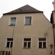
Ehemaliges Handwerkerhaus
76 m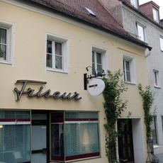
Traufseithaus
154 m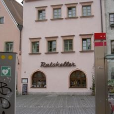
Gasthof Ratskeller
144 m
Altes Schulhaus, seit 1980 Kulturzentrum
153 m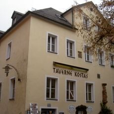
Gasthaus
136 m
Steintafeln
151 m
Ehemaliges Ackerbürgerhaus
33 mReviews
Visited this place? Tap the stars to rate it and share your experience / photos with the community! Try now! You can cancel it anytime.
Discover hidden gems everywhere you go!
From secret cafés to breathtaking viewpoints, skip the crowded tourist spots and find places that match your style. Our app makes it easy with voice search, smart filtering, route optimization, and insider tips from travelers worldwide. Download now for the complete mobile experience.

A unique approach to discovering new places❞
— Le Figaro
All the places worth exploring❞
— France Info
A tailor-made excursion in just a few clicks❞
— 20 Minutes