
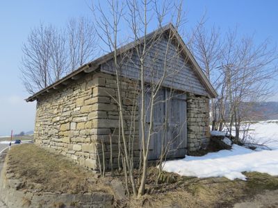
Stadel, satteldachbau mit Bruchsteinmauerwerk, 1. Hälfte 19. Jahrhundert; westlich vom Ort, an der Staatsstraße
Location: Rettenberg
Address: Mittbichel
GPS coordinates: 47.58205,10.31452
Latest update: March 22, 2025 05:24
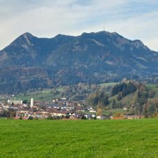
Grünten
3 km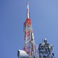
Grünten transmitter
3.2 km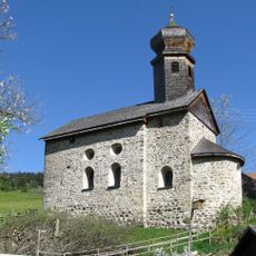
St. Nikolaus
2.2 km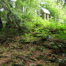
Burgstall Weiher
2.7 km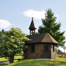
Asante-Christus-Kapelle
724 m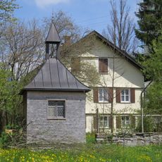
Rectory
2 km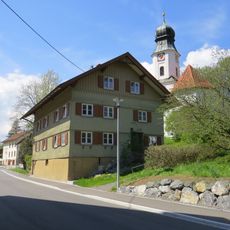
Rectory
3.1 km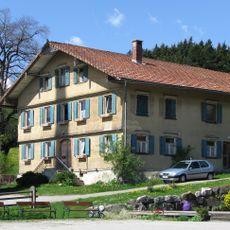
Rectory
3.4 km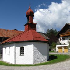
Kapelle
4 km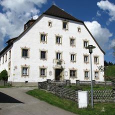
Fürstbischöfliches Amtshaus
4 km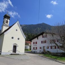
Bauernhaus
2.8 km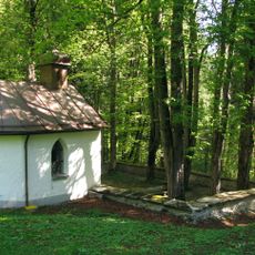
Pestfriedhof Vorderburg
3 km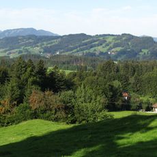
Rottachberg und Rottachschlucht
2.1 km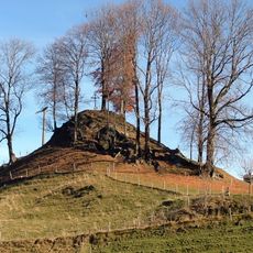
Cultural heritage D-7-8427-0018 in Rettenberg
1.1 km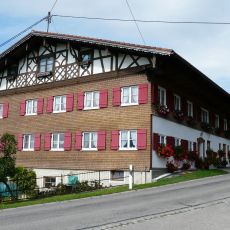
Bauernhaus
2.6 km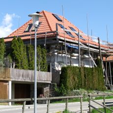
Ehemaliges Kaplanhaus
3.5 km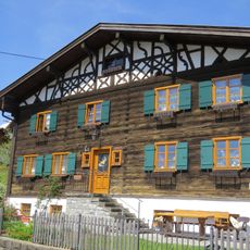
Bauernhaus
2 km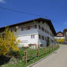
Ehemaliges Bauernhaus
2.8 km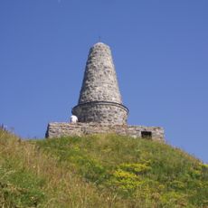
Gebirgsjägerdenkmal Grünten
3.1 km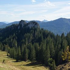
Gigglstein
2.9 km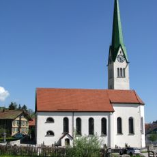
St. Blasius
3.4 km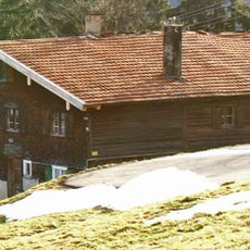
Bauernhaus
1.6 km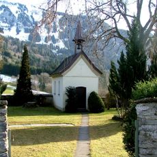
Pestfriedhof
1.7 km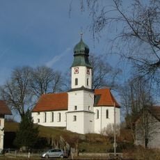
St. Antonius
3.2 km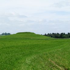
Cultural heritage D-7-8427-0010 in Rettenberg
2.2 km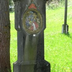
Kreuzwegstationen
3.2 km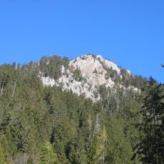
Burgberger Hörnle
3.7 km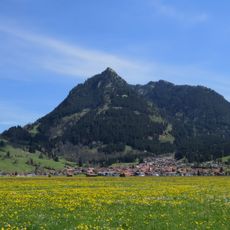
Grünten
3.7 kmReviews
Visited this place? Tap the stars to rate it and share your experience / photos with the community! Try now! You can cancel it anytime.
Discover hidden gems everywhere you go!
From secret cafés to breathtaking viewpoints, skip the crowded tourist spots and find places that match your style. Our app makes it easy with voice search, smart filtering, route optimization, and insider tips from travelers worldwide. Download now for the complete mobile experience.

A unique approach to discovering new places❞
— Le Figaro
All the places worth exploring❞
— France Info
A tailor-made excursion in just a few clicks❞
— 20 Minutes