
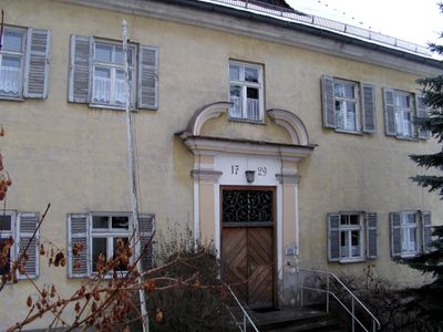
Pfarrhof, pfarrhaus, freistehender zweigeschossiger barocker Walmdachbau, von Johann Matthias Weigenthaller, bezeichnet 1729; Nebengebäude, Fachwerk-Ständerbau mit Satteldach, 19. Jahrhundert; ehemalige Stallung, eingeschossiger Satteldachbau, Ende 18. Jahrh
Location: Dingolfing
Address: Pfarrplatz 10
GPS coordinates: 48.62787,12.49839
Latest update: March 6, 2025 20:08
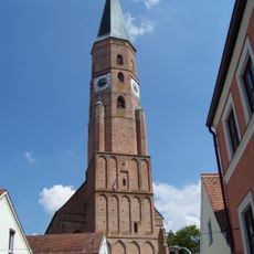
St. Johannes
49 m
Franziskanerkloster Dingolfing
754 m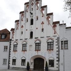
Herzogsburg Dingolfing
204 m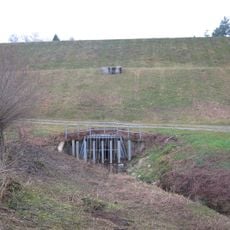
Hochwasserrückhaltebecken Asenbach
2 km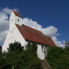
St. Ägidius
2.1 km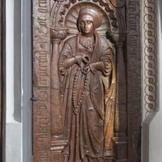
Grabstein für Anna Ecker
50 m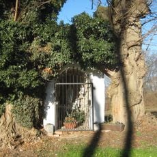
Golding-Lourdesgrotte
1.9 km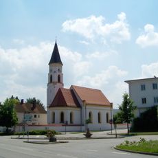
Katholische Filialkirche St. Antonius
1.3 km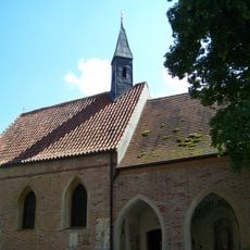
Dreifaltigkeitskapelle
27 m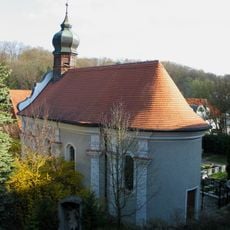
Wallfahrtskapelle Geißelung Christi
727 m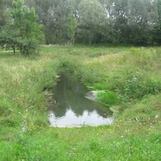
Schutz von Landschaftsteilen in der Stadt Dingolfing, dem Markt Teisbach, sowie den Gemeinden Gottfrieding, Loiching, Mamming und Niederviehbach im Landkreis Dingolfing (LSG Isartal)
693 m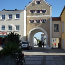
Wollertor
248 m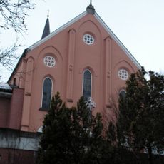
Klosterkirche zur Unbefleckten Empfängnis Mariä (Dingolfing)
712 m
Ehemalige Fleischbank
234 m
Bürgerhaus
236 m
Ehemaliges Amtsgerichtsgebäude
258 m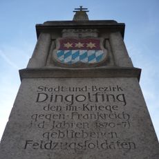
Kriegerdenkmal
213 m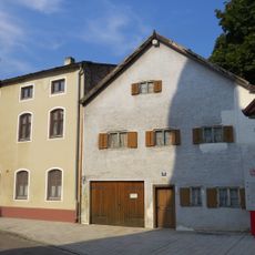
Doppelwohnhaus
263 m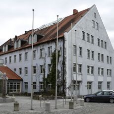
Obere Stadt 1
197 m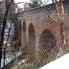
Hochbrücke
348 m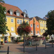
Mariensäule
169 m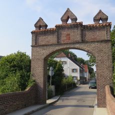
Wohnhaus
394 m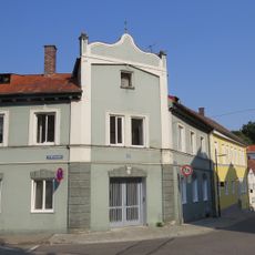
Wohnhaus
91 m
Stadel
389 m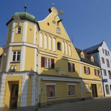
Bürgerhaus
237 m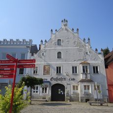
Ehem. Gastwirtschaft und Bürgerhaus
209 m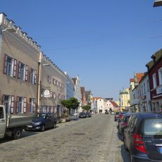
Brauereigasthof Alte Post
186 m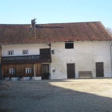
Wohnstallhaus
2 kmReviews
Visited this place? Tap the stars to rate it and share your experience / photos with the community! Try now! You can cancel it anytime.
Discover hidden gems everywhere you go!
From secret cafés to breathtaking viewpoints, skip the crowded tourist spots and find places that match your style. Our app makes it easy with voice search, smart filtering, route optimization, and insider tips from travelers worldwide. Download now for the complete mobile experience.

A unique approach to discovering new places❞
— Le Figaro
All the places worth exploring❞
— France Info
A tailor-made excursion in just a few clicks❞
— 20 Minutes