
Gasthof, baukomplex mit Halbwalmdach und Pultdach, im Kern 18. Jahrhundert; Hauskruzifix, 18./19. Jahrhundert
Location: Röhrnbach
Address: Goldener Steig 7
GPS coordinates: 48.74106,13.52303
Latest update: March 12, 2025 23:03
Schloss Fürsteneck
5.4 km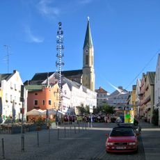
St. Peter und Paul (Waldkirchen)
5.9 km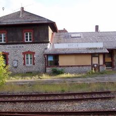
Station building at Waldkirchen station
6.2 km
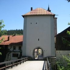
Burg Kaltenstein
1.3 km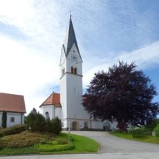
St. Josef Kumreut
3.8 km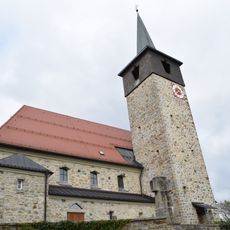
St. Josef
5.4 km
Cultural heritage D-2-7247-0029 in Büchlberg
3.8 km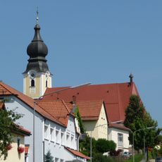
St. Michael
209 m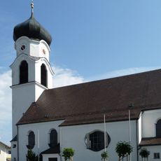
St. Laurentius
3.8 km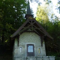
Lourdes-Kapelle
6.6 km
Katholische Filialkirche St. Korona
1.1 km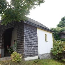
Grabenkapelle
5.8 km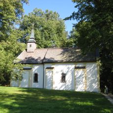
St. Karl Borromäus
6.6 km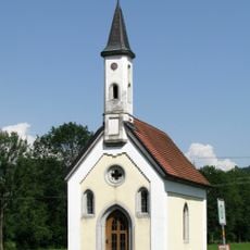
Kapelle
5.7 km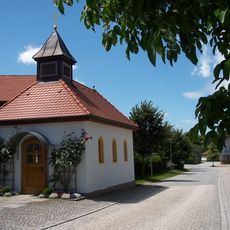
Ortskapelle
5.1 km
Saußbachleite
6.5 km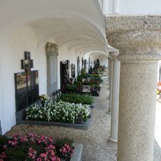
Friedhof Perlesreut
6.8 km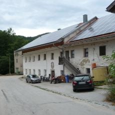
Göschlmühle
7.1 km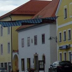
Wohn- und Geschäftshaus
7.2 km
Waldkirchener Radabweiser - Die steinerne Gretl
5.8 km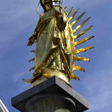
Mariensäule
5.9 km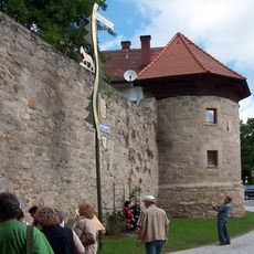
Ehemalige Marktbefestigung
5.9 km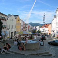
Ensemble Marktplatz
5.9 km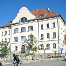
Rathaus Waldkirchen
6 km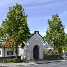
Wegkapelle St. Magdalena
5.8 km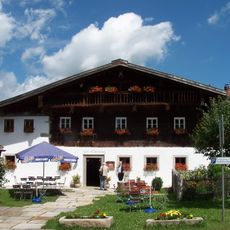
Ehem. Gasthaus
5.2 km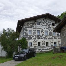
Geyersberg 13
5.6 km
Saußbachleite S von Waldkirchen
6.5 kmReviews
Visited this place? Tap the stars to rate it and share your experience / photos with the community! Try now! You can cancel it anytime.
Discover hidden gems everywhere you go!
From secret cafés to breathtaking viewpoints, skip the crowded tourist spots and find places that match your style. Our app makes it easy with voice search, smart filtering, route optimization, and insider tips from travelers worldwide. Download now for the complete mobile experience.

A unique approach to discovering new places❞
— Le Figaro
All the places worth exploring❞
— France Info
A tailor-made excursion in just a few clicks❞
— 20 Minutes