
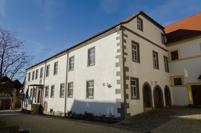
Amtskellerei, cultural heritage monument D-6-78-181-12 (0) in Stadtlauringen, Bavaria
Location: Stadtlauringen
Address: Kellereistraße 8; Kellereistraße 10; Kellereistraße 12
GPS coordinates: 50.18689,10.36159
Latest update: March 6, 2025 01:03
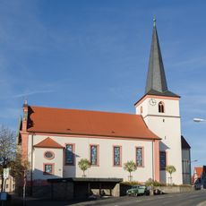
Pfarrkirche
134 m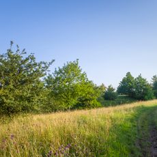
Talhänge der Lauer bei Stadtlauringen
1.1 km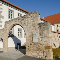
Hoftor
48 m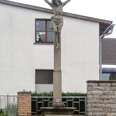
Wegkreuz
153 m
Rathaus
195 m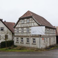
Wohnhaus
2.4 km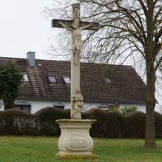
Wegkreuz
1.3 km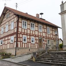
Schulhaus
1.1 km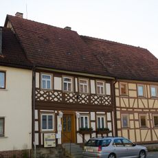
Wohnhaus
169 m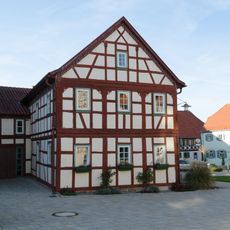
Bäckerhaus
199 m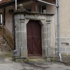
Hoftor
1.1 km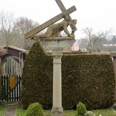
Kreuzschlepper
307 m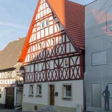
Ackerbürgerhaus
136 m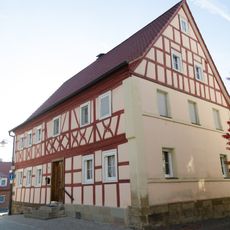
Wohnhaus
216 m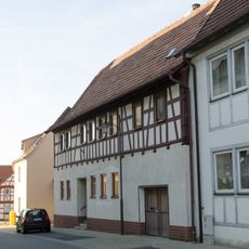
Wohnhaus
150 m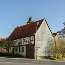
Wohnhaus
99 m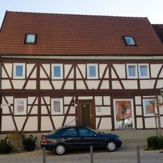
Wohnhaus
154 m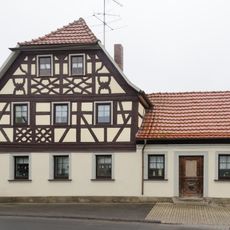
Wohnhaus
215 m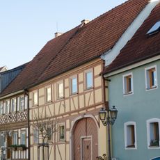
Wohnhaus
177 m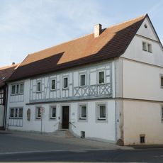
Pfarrhaus
135 m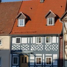
Bürgerhaus
210 m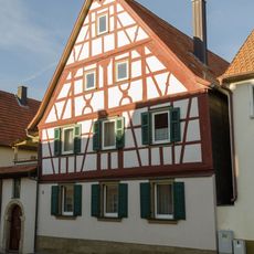
Ackerbürgerhaus
89 m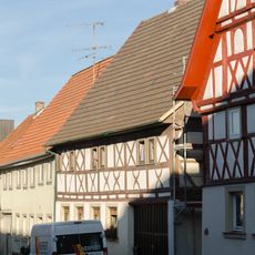
Ackerbürgerhaus
152 m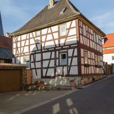
Benefiziatenhaus
53 m
Kleinhaus
249 m
Ackerbürgerhaus
126 m
Ackerbürgerhaus
242 m
Schule
2.2 kmReviews
Visited this place? Tap the stars to rate it and share your experience / photos with the community! Try now! You can cancel it anytime.
Discover hidden gems everywhere you go!
From secret cafés to breathtaking viewpoints, skip the crowded tourist spots and find places that match your style. Our app makes it easy with voice search, smart filtering, route optimization, and insider tips from travelers worldwide. Download now for the complete mobile experience.

A unique approach to discovering new places❞
— Le Figaro
All the places worth exploring❞
— France Info
A tailor-made excursion in just a few clicks❞
— 20 Minutes