
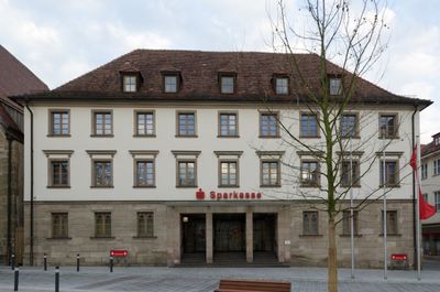
Friedrich-Ebert-Straße 11
Friedrich-Ebert-Straße 11, Westflügel einer Dreiflügelanlage, dreigeschossiger Walmdachbau mit rustiziertem Erdgeschoss, neu errichtet von Friedrich Huß 1822/24, umgebaut 1934–36 und 1956–57
Location: Weißenburg in Bayern
Address: Friedrich-Ebert-Straße 11
GPS coordinates: 49.02962,10.97083
Latest update: March 5, 2025 10:39
Scheune Marktplatz 19 in Weißenburg in Bayern
71 m
Spitalkirche
24 m
Neues Rathaus
89 m
Marktplatz 13
97 m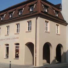
Friedrich-Ebert-Straße 10
31 m
Friedrich-Ebert-Straße 16
62 m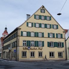
Friedrich-Ebert-Straße 21
89 m
Spohrengasse 12
85 m
Friedrich-Ebert-Straße 5
49 m
Friedrich-Ebert-Straße 17, 17a
55 m
Auf der Wied 12
93 m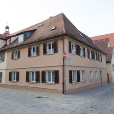
Auf der Wied 8 (Weißenburg in Bayern)
81 m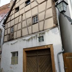
Höllgasse 1
39 m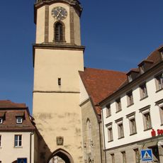
Spitaltorturm
26 m
Friedrich-Ebert-Straße 7
38 m
Untere Stadtmühlgasse 9
83 m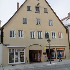
Friedrich-Ebert-Straße 2
81 m
Wildbadstraße 8
52 m
Marktplatz 17
89 m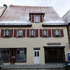
Friedrich-Ebert-Straße 15
45 m
Wildbadstraße 14
87 m
Wildbadstraße 5, 7
66 m
Spohrengasse 9
71 m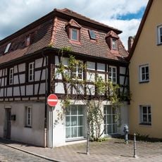
Auf der Wied 5
99 m
Bürgerhaus
78 m
Friedrich-Ebert-Straße 14 (Weißenburg in Bayern)
49 m
Friedrich-Ebert-Straße 19
70 m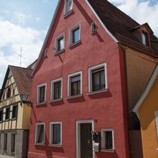
Auf der Wied 14
98 mReviews
Visited this place? Tap the stars to rate it and share your experience / photos with the community! Try now! You can cancel it anytime.
Discover hidden gems everywhere you go!
From secret cafés to breathtaking viewpoints, skip the crowded tourist spots and find places that match your style. Our app makes it easy with voice search, smart filtering, route optimization, and insider tips from travelers worldwide. Download now for the complete mobile experience.

A unique approach to discovering new places❞
— Le Figaro
All the places worth exploring❞
— France Info
A tailor-made excursion in just a few clicks❞
— 20 Minutes