
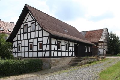
Bauernhaus, building in Bad Rodach, Upper Franconia, Germany
Location: Bad Rodach
Address: Colberger Straße 3
GPS coordinates: 50.29988,10.80031
Latest update: March 12, 2025 09:13
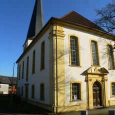
St. Mary (Gauerstadt)
833 m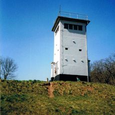
Artenschutz-, Forschungs- und Fledermauszentrum Billmuthausen
1.4 km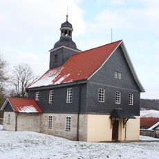
St. Wolfgang und St. Jakobus
3.6 km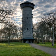
Henneberger Warte
4 km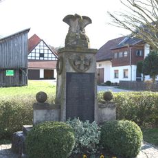
Kriegerdenkmal
2.1 km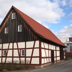
Scheune Bahnstraße 1 in Bad Rodach
4.5 km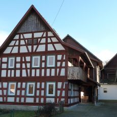
Bauernhaus
3.3 km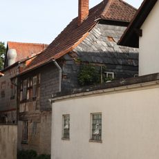
Bauernhaus
3.2 km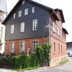
Schulgebäude
813 m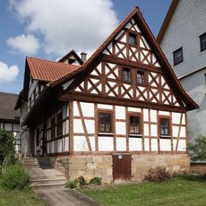
Cultural heritage D-4-73-158-98 in Bad Rodach
900 m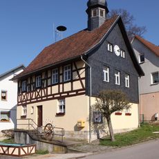
Bürgerzentrum
1.9 km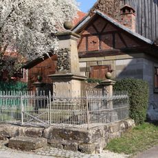
Kriegerdenkmal
1.9 km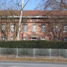
Staatliches Domänengebäude Schweighof
3.5 km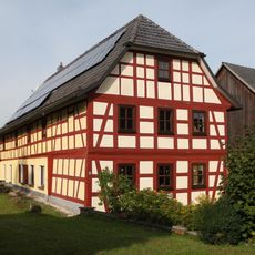
Cultural heritage D-4-73-158-37 in Bad Rodach
3.1 km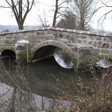
Straßenbrücke
865 m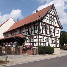
Cultural heritage D-4-73-158-50 in Bad Rodach
960 m
Gutshaus
1 km
Pfarrhaus
817 m
Wohnhaus mit Kreuzdach
840 m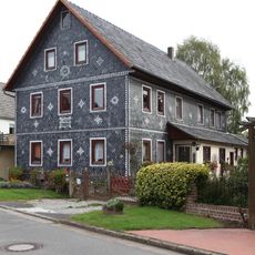
Wohnstallhaus
4.4 km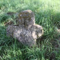
Gedenkkreuz
2.1 km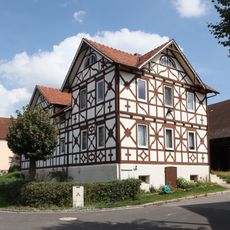
Cultural heritage D-4-73-158-101 in Bad Rodach
973 m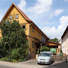
Cultural heritage D-4-73-158-99 in Bad Rodach
847 m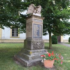
Kriegerdenkmal
844 m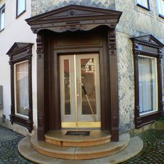
Gaden
859 m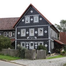
Cultural heritage D-4-73-158-109 in Bad Rodach
4.4 km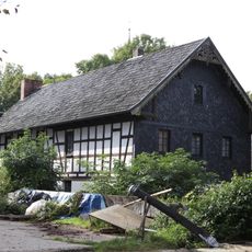
Bauernhaus
3.2 km
Empfangsgebäude
4.4 kmReviews
Visited this place? Tap the stars to rate it and share your experience / photos with the community! Try now! You can cancel it anytime.
Discover hidden gems everywhere you go!
From secret cafés to breathtaking viewpoints, skip the crowded tourist spots and find places that match your style. Our app makes it easy with voice search, smart filtering, route optimization, and insider tips from travelers worldwide. Download now for the complete mobile experience.

A unique approach to discovering new places❞
— Le Figaro
All the places worth exploring❞
— France Info
A tailor-made excursion in just a few clicks❞
— 20 Minutes