
Kriegerdenkmal, cultural heritage monument D-6-77-119-20 (0) in Birkenfeld (Unterfranken), Bavaria
Location: Birkenfeld
Address: Ölberg
GPS coordinates: 49.85182,9.69489
Latest update: March 15, 2025 02:24
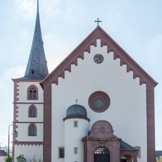
Kirche
615 m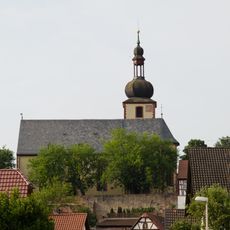
Pfarrkirche
4.5 km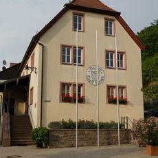
Synagoge
4.5 km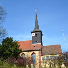
Pfarrkirche
2.9 km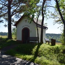
Feldkapelle
2.1 km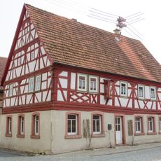
Bauernhof
4.5 km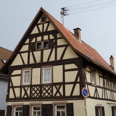
Bauernhof
4.5 km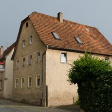
Bauernhof
4.5 km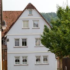
Bauernhof
4.5 km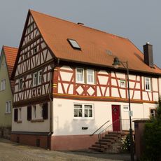
Bauernhof
4.4 km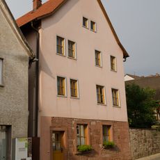
Wohnhaus
4.4 km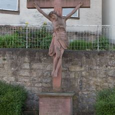
Kreuz
500 m
Bauernhof
4.5 km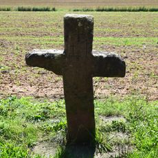
Sühnekreuz
4 km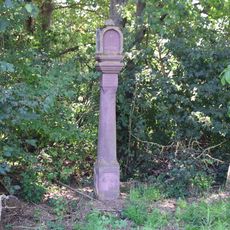
Bildstock
1.4 km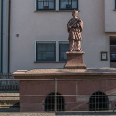
Brunnen
632 m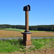
Bildstock
4.7 km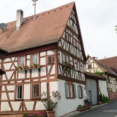
Wohnhaus
4.5 km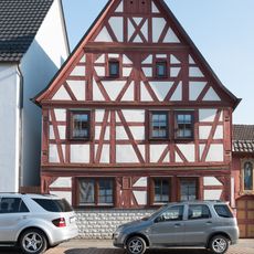
Bauernhof
649 m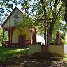
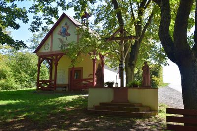
Kreuzigungsgruppe Ölberg in Birkenfeld (Unterfranken)
12 m
Wohnhaus
4.5 km
Wohnhaus
4.6 km
Wohnhaus
4.5 km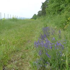
Magerstandorte bei Marktheidenfeld und Triefenstein
4.6 km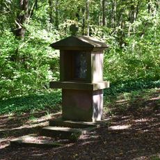
Kreuzwegstation Ölberg in Birkenfeld (Unterfranken)
25 m
Schulgebäude
4.4 km
Gasthaus
608 m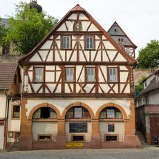
Gasthaus
4.4 kmReviews
Visited this place? Tap the stars to rate it and share your experience / photos with the community! Try now! You can cancel it anytime.
Discover hidden gems everywhere you go!
From secret cafés to breathtaking viewpoints, skip the crowded tourist spots and find places that match your style. Our app makes it easy with voice search, smart filtering, route optimization, and insider tips from travelers worldwide. Download now for the complete mobile experience.

A unique approach to discovering new places❞
— Le Figaro
All the places worth exploring❞
— France Info
A tailor-made excursion in just a few clicks❞
— 20 Minutes