
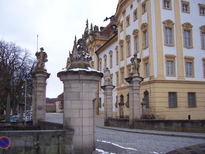
Ehrenhofanlage, gepflastert, mit östlichem Schlosstor (Hauptwache) von 1769/71, einschließlich Brücke, flankierenden Schilderhäuschen und vier Steinpfeilern mit Figuren, und mit Rest des Brühltores, 1765, im Kern älter, teilweise zerstört und abgetragen 1945
Location: Ellingen
Address: Schlossstraße
GPS coordinates: 49.06074,10.96633
Latest update: March 8, 2025 16:38
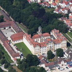
Ellingen Residence
53 m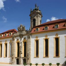
Schlosskirche
81 m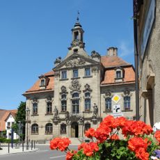
Town hall (Ellingen)
109 m
Georgsbrunnen
109 m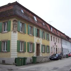
Neue Gasse
120 m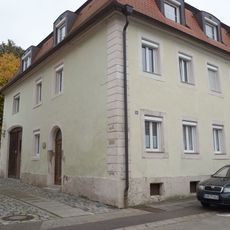
Synagoge (Ellingen)
120 m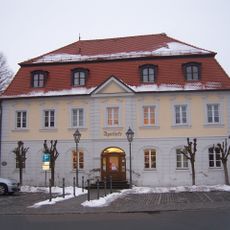
Amtsgericht Ellingen
42 m
Ehemaliges Obergerichtshaus
53 m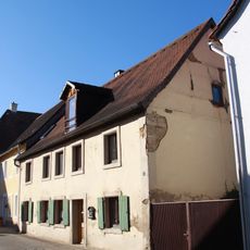
Hintere Gasse 4
76 m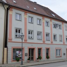
Weißenburger Straße 13, 15
134 m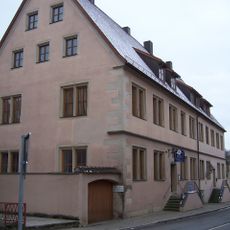
Schloßstraße 2/4
56 m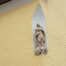
Nischenfigur an Pleinfelder Straße 8
136 m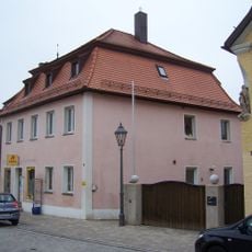
Pleinfelder Straße 6
127 m
Weißenburger Straße 6
132 m
Neue Gasse 15
120 m
Neue Gasse 16
126 m
Neue Gasse 17
132 m
Neue Gasse 12
102 m
Neue Gasse 10
93 m
Neue Gasse 9
93 m
Schloßstraße 5
67 m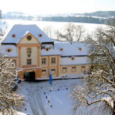
Fürstliche Brauerei
65 m
Neue Gasse 3 (Ellingen)
72 m
Weißenburger Straße 4
124 m
Hintere Gasse 9
133 m
Weißenburger Straße 9
109 m
Hintere Gasse 2
71 m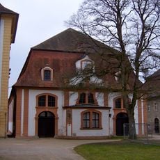
Reitschule
100 mVisited this place? Tap the stars to rate it and share your experience / photos with the community! Try now! You can cancel it anytime.
Discover hidden gems everywhere you go!
From secret cafés to breathtaking viewpoints, skip the crowded tourist spots and find places that match your style. Our app makes it easy with voice search, smart filtering, route optimization, and insider tips from travelers worldwide. Download now for the complete mobile experience.

A unique approach to discovering new places❞
— Le Figaro
All the places worth exploring❞
— France Info
A tailor-made excursion in just a few clicks❞
— 20 Minutes